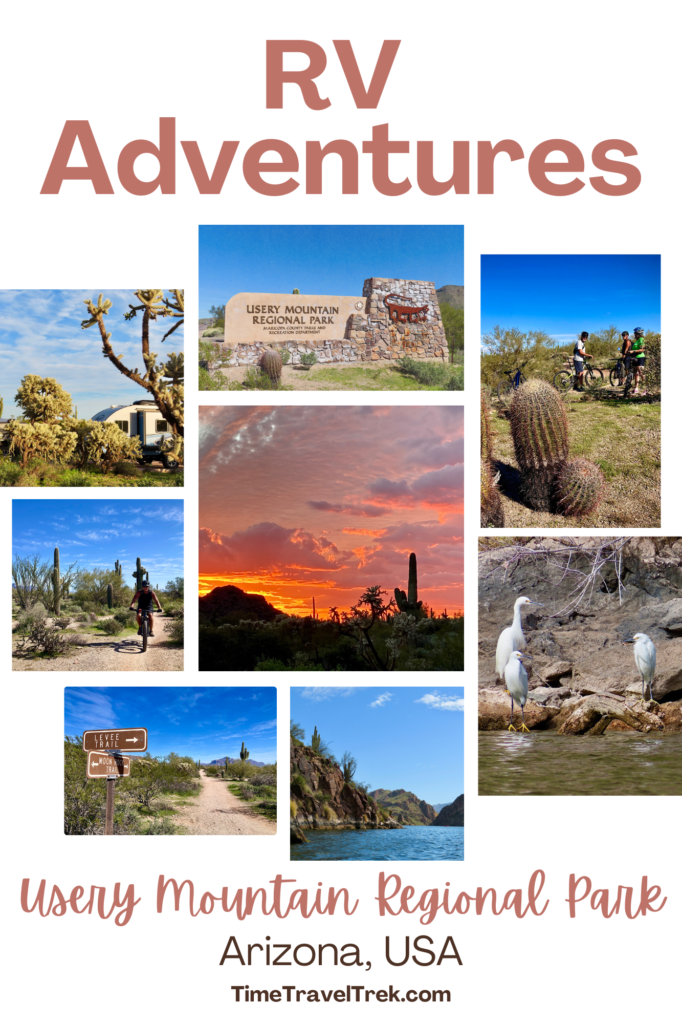
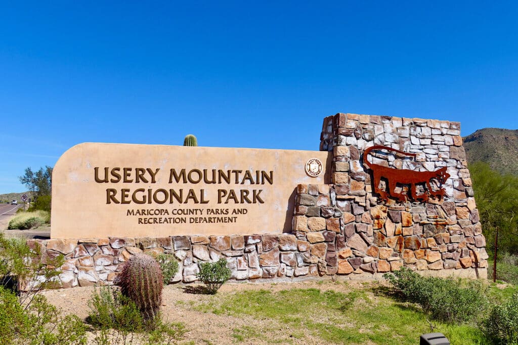
Usery Mountain Regional Park is located near Phoenix, Arizona. This Maricopa County Regional Park is the perfect base camp for outdoor adventures from hiking to mountain biking to paddling. Join us as we pitter, paddle, pedal and camp in this “needs to be repeated” RV adventure!
Disclosure: This post contains affiliate links. If you buy something from one of our affiliates, we receive a small commission at no extra charge to you. Thanks for helping to keep our blog up and running!
Table of Contents
All About Usery Mountain Regional Park
Usery Mountain Regional Park is one of the 13 parks managed by Maricopa County in and around Phoenix. It encompasses 3,648 acres of Sonoran Desert flats and small rocky hills. Elevation ranges from 1,700 to 2,800 feet (518 to 853 m).
The park’s namesake, Usery Mountains, lie to the northwest, the Goldfield Mountains to the north/northwest, and in the distance – just a hop, skip, and a jump away – are the Superstition Mountains in the east.
Usery’s main facilities include a nature/information center, the 75-site campground, a group camp, an archery range – bring it on Robin Hood! – a massive, shaded, outdoor fitness area, of course a picnic area, and close to 30 miles (48 km) of multi-use trails. Think hiking, running, cycling and/or horseback riding!
Exactly where is Usery?
Usery Mountain Regional Park sits on the northeast side of Mesa along the Usery Pass Road. The pass road climbs a low saddle along the Usery and Goldfield mountains and links with the Bush Highway and Tonto National Forest to the north. On its southern boundary, the park butts up directly to a subdivision on the edge of the Metro Phoenix area.
If you like Usery’s prime location, be sure to check out these posts about other
base camp adventures in Maricopa County Regional Parks surrounding Phoenix:
McDowell Mountain
Lake Pleasant
White Tank
Cave Creek
What is the history behind the name?
There are two larger mountains in Usery Mountain Regional Park: Pass Mountain and Usery Mountain. Pass Mountain is also called “Scarface.” As you enter the park off Ellsworth, Usery Mountain is to your left (west) and Pass Mountain is on your right (east).
Usery Mountain was named after cattleman King Usery – but there’s no royalty here. King Usery ran stock in the area in the late 1870s and early 1880s. In 1892, Usery was involved in a Globe-Florence stagecoach holdup. He and his cohort got away with two bars of silver bullion valued at $1500 each, a dozen gold breastpins worth $20 each, six gold eardrops valued at $90, and $200 cash.
King Usery was caught, tried, and ended spending a couple years in the Territorial Prison in Yuma. Dancing with the law once more, he was later convicted of stealing stock animals, but received a light sentence and, on his release, was never seen again.
Usery Mountain Regional Park became a park in the 1960s.
When best to visit Usery Mountain Regional Park?
Summer temps from June to August are scorchers – reaching average highs over 104 ºF (40 ºC). December is the coldest month, dipping down to averages of 55 ºF (13 ºC). February is the wettest month in the area, receiving an average of 0.9 inches (24 mm) of precipitation. April is the windiest month, with average winds reaching 16 mph (26 kmh).
Usery Mountain Regional Park is open year-round, from 5 a.m. to 9 p.m. daily May 1st – October 31st and from 6 a.m. to 8 p.m. daily November 1st – April 30th.
The Nature Centre is open 7 a.m. to 2 p.m. six days a week (closed Sundays) from May 1st – October 31st. It’s open 8 a.m. to 4 p.m. daily from November 1st – April 30th.
We visited in late February and had blue skies and shorts weather, although it did cool down nicely at night. Best time to visit? Let’s just say that the campground is busy from January to March.
Plan your trips with our RV Trip Planner, available in our Etsy Shop!

What kinds of plants and animals will you find in Usery?
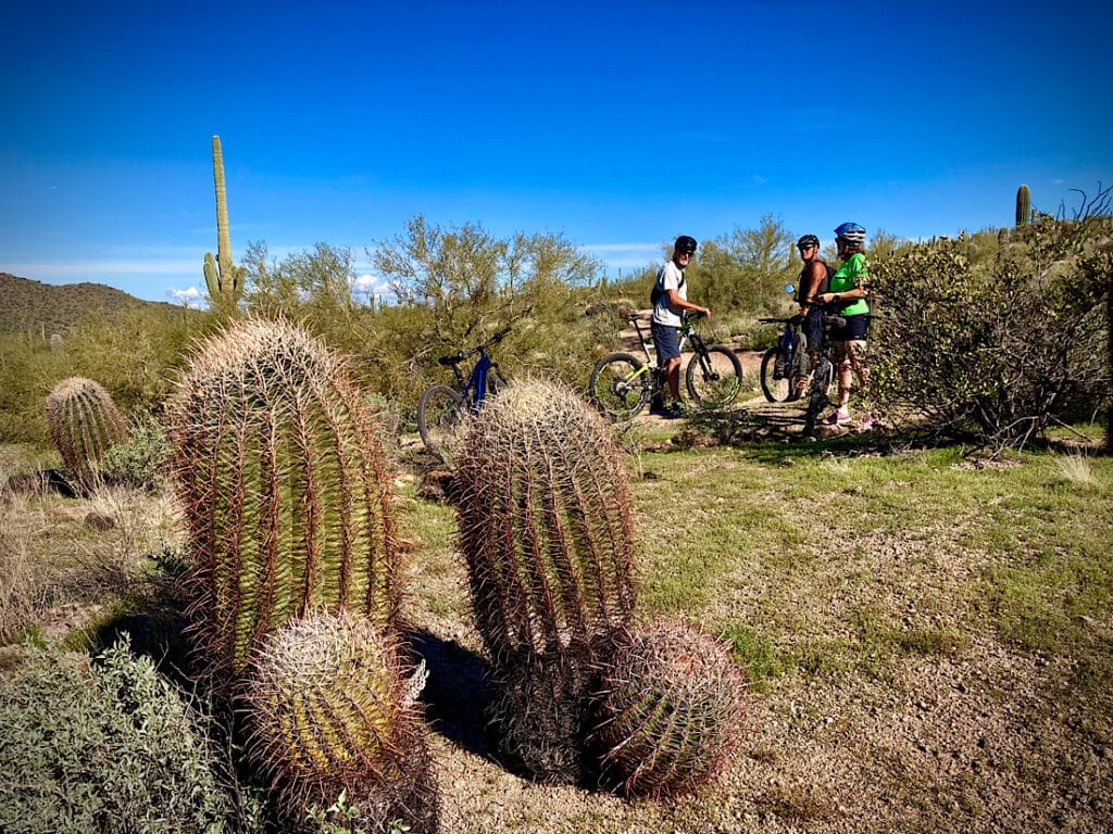
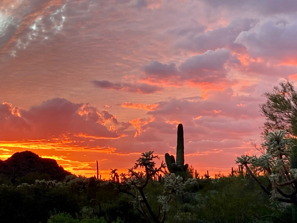
This park is one of our favourite places to visit for immediate immersion into the Sonoran Desert. From chainfruit cholla, saguaro, and Arizona barrel cactus to palo verde, creosote bush, and ocotillo – Usery shines like a desert gem.
We heard coyotes at night and saw desert cottontails and black-tailed jackrabbits along with dozens of different bird species – from hummingbirds to thrashers to woodpeckers.
For a complete lists of birds, mammals, reptiles, insects, and plants, check out the Maricopa County Parks and Recreation online brochures and handouts page and scroll down to the bottom for all of their wildlife brochures.
Camping in Usery Regional Park
Usery has a group camp and 75 individual campsites – four of which house campground hosts. Be sure book ahead as Buckhorn Campground is extremely popular in the cooler winter months and reservations are a must if you hope to get in.
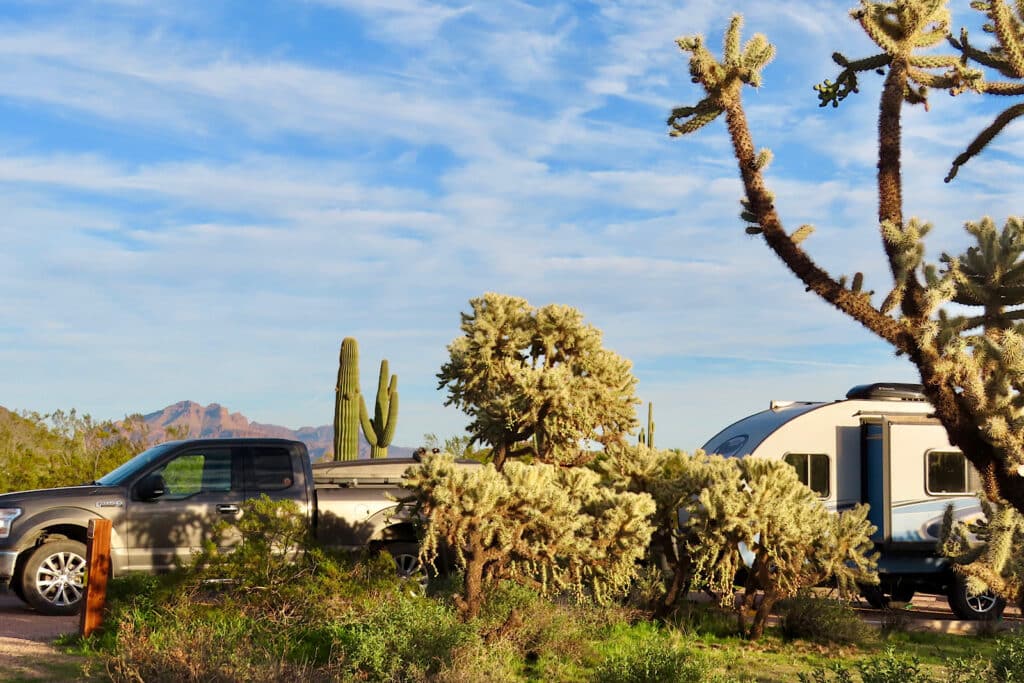
All the individual sites in the campground have water and electrical hookup. The campsites are huge, and most can fit rigs up to 45 feet (13.7 m). Site #33 swallowed our truck and 19-ft (5.8 m) R-pod with room to spare. The washrooms are clean and showers hot – what more can you ask for?
What kinds of recreational activities exist in the park?
Hiking, biking, walking, horseback riding, running, birdwatching, and photography are popular activities in Usery Mountain Regional Park – at least that’s what we saw during our short stay. We didn’t have time to check out the outdoor gym or the archery range.
In the future we’ll have check the schedule to see if the monthly Archery 101 class – free with entry and includes equipment – lines up with our dates. For this trip, hiking and biking with a side of birding and photography are our activities of choice.
Mountain biking adventures in and around Usery Mountain
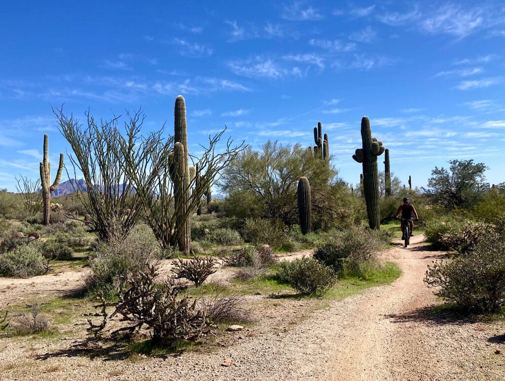
After setting up camp, we quickly unloaded the mountain bikes and – wahoo! – we’re off to exploring the trails. Many of them are flat and smooth and super fun to zip around on. Along Chainfruit to Lost Sheep, down to Moon Rock across to Meridan, up Blevins towards the trailhead staging area, and finally back to camp on Chainfruit.
We did another, slightly more challenging ride in the park with friends up and down Talon before heading over to circumnavigate Cat Peaks. There were a few more rocky sections and dips to navigate on this ride, but fun was had all around!
Pitter paddle adventure day!
Gear guru took off for a hike early morning while I caught up on work. He had to check out the Wind Cave Trail, which climbs to a sheltered alcove up on Pass Mountain. This short but steep trail is so popular that parking restrictions have been put in place at the trailhead to limit capacity. Good thing we were camped in the park!
Our other main goal – beyond checking out the mountain biking and hiking in the park – was to explore Saguaro Lake. Setting off after lunch, we drove an easy half hour out of the park, up over Usery Pass to the North Bush Highway. We meandered alongside the Salt River – so many places to check out in the future! – and took the access road into Butcher Jones Recreation Site.
Did you know? Butcher Jones was actually a physician who reportedly performed surgeries on his dining room table! Beyond practicing medicine, he owned mines in Arizona, a freighting business, a ranch, and he was buddies with Jacob Waltz of Lost Dutchman mine.
Paddling Saguaro Lake
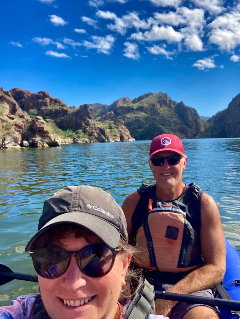
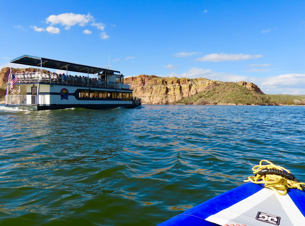
While there is a hiking trail along the lakeshore, we pumped up the inflatable kayak and set out for a paddle on Saguaro Lake. Being a water body on a warm day so close to the Metro Phoenix area, we weren’t alone. There were all the usual characters – coots and grebes, cormorants and gulls, hawks and ibises!
Looking for more places to paddle in Arizona? Check our guide for 9 of the best places to kayak!
Oh yeah, and a few power boats, standup paddleboarders, several canoes, a few more kayaks, and a tour boat. It’s not a surprise. Spectacular cliffs, saguaro cactus, and inviting blue green water – who can resist?
Worth a trip outside the park? Absolutely!
Love paddling adventures in the Sonoran desert?
Check out nearby Roosevelt Lake and Apache Lake – both in the Tonto National Forest! Or go further afield to Alamo Lake State Park for your next RV adventure!
When you go
To get to Usery from Phoenix, Tempe, or Mesa, head to US 60 east. Take the Ellsworth Road exit north off US 60 and follow it to the park entrance.
You can find more information about the Usery Mountain Regional Park on their website.
Leave a Reply