Searching for RV Parks in Tucson, Arizona? Which side of the city – east or west – is the best location for all you want to do? This post is part one of a two-part post reviewing two separate RV Parks – Cactus Country RV Resort in the east and Desert Trails RV Park in the west – and highlighting their adventure potential based on their locations.
Disclosure: This post contains affiliate links. If you buy something from one of our affiliates, we receive a small commission at no extra charge to you. Thanks for helping to keep our blog up and running!
Table of Contents
Searching for RV Parks in Tucson, Arizona?
There’s a lot to consider when choosing a place to park your RV – especially if you enjoy active adventures like we do! Beyond looking at price, amenities and customer reviews, number one (and two and three) in our books is always location, location, location.
How far to that hiking area? Where can we bike? Are we far enough off major roadways and away from town but still close enough to access grocery stores without having to drive too far?
We’ve stayed east and west while visiting Tucson – and here’s what we’ve discovered about which side of the city we think is best for setting up an RV-based adventure.
East Tucson: Cactus Country RV Resort
Ease of access – that’s Cactus Country RV Resort. It’s an easy turn off I-10 and short drive to the park, yet it’s still far enough away from the freeway that the roar of semis is a low background hum that quickly fades into the background.
Be sure to check out our list of some of the best RV camping gifts for friends & family.
The reception staff were cheerful and happy upon our arrival, making the whole process painless. One of the outside workers stood waiting to guide us into our site. Although we were asked about the age of our trailer (10 years old seems to be a cut-off), there were a few older models in the park. These may have been grandfathered in though, as the occupants were long-term residents similar to the park model homes in the resort.
Check out how my Cozy up Your RV Lifestyle post for hygge tips
to make your rolling home instantly more cozy and comfortable!
Set up was fast – our 30 amp service, water hookup and sewer all working well. And the Wifi – oh my! – is fantastic. As a blogger working on the road, good internet is hard to find. When we checked in, the receptionist gave us the low down on how to hook up with a special pass to the TengoInternet service. Up to three devices per pass – and all worked perfectly.

Paved Pathways Just Outside the RV Park
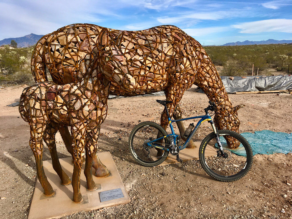
Within ½ an hour, we were out on our mountain bikes, heading along a section of the Chuck Huckelberry Loop paved bike pathway system to pick up a few groceries at Walmart (about a 2.8 mi/4.5 km easy bike ride each way). Fry’s grocery store is a little further down Houghton. What a boon! There’s even new art installations to appreciate along the way!

If you are a road biker, this pathway connects with other legs to circle the entire city of Tucson – and beyond! The Loop has been dubbed America’s #1 Recreational Trail.
There are also short paths through the cholla cactus covered desert surrounding the RV Park – but these are definitely more for walking than biking.
Adventures in Saguaro National Park – East
The main reason for choosing Cactus Country RV Resort was easy access to Saguaro National Park – East (Rincon Mountain District). We packed a lunch and headed over to the park entrance – 8 miles (13 km) away.
After stopping briefly to buy our annual park pass ($80), we continued up to the Javelina Picnic Area. Our hike today was a stroll up – and up and up – Tanque Verde Ridge with no set destination in mind. We were just exploring.

After 3.7 miles (6 km) and 2200 ft (670 m) elevation gain with plenty of high rocky step ups, we sat down to appreciate the views of Rincon Peak and the Rincon Mountains, Mt. Lemmon and the Santa Catalina Mountains, a distant Mt. Wrightson in the Sierra Vista Mountains, and the Dragoon Mountains fading away beyond the Wetmore Mountain Range. The trail continues for miles further, but sunset was calling, and we headed down.
Stellar Sunsets in Saguaro East
The first time we sought out a sunset in Saguaro National Park East it was a bit of a comedy. We had been on driving adventure up Mt. Lemmon. The day was supposed to end with a short walk up Tumamoc Hill on the west side of the city, but we ran out of time and the sun was quickly setting while we were still on east side of town.
A quick change of direction took us into Saguaro East. We parked at the Javelina Picnic area and ran down the start of the Tanque Verde trail, scrambling up onto a set of large boulders with an unobstructed view just as the sky turned orange!

Today we opted for the leisurely 8-mile (12.8 km) loop drive through the park, watching the light soften and turn burnt orange and pink before sinking away. Judging from all the vehicles parked at Javelina Rocks, that might be another perfect place to view the setting sun.
As with our first Saguaro sunset adventure, we exited the park and drove a few hundred yards up the road to Saguaro Corners for an excellent après-hike dinner!

Fantasy Island Mountain Bike Trails!
Because I was taking advantage of the stellar internet service at Cactus Country RV Resort – something lacking in many RV Parks in Tucson, Arizona – and trying to get ahead making hay while the sun shines, we had mostly half days to explore.
After hiking Saguaro’s rocky route up Tanque Verde the day before, we opted to give our knees a rest and check out the mountain biking at Fantasy Island. Trailforks (one my selection of best RV travel apps) helped us make the decision. It’s a short 6.8-mile (11 km) drive from our campsite to the trailhead at Irvington and Harrison.
When you ring the bell to start the ride, rip around winding, sandy tracks, find the washes not too difficult to navigate and come across a licence plate wind chime playing a sweet song in light winds you know it’s a good day!

Cannot say enough good things about the 6.6-mile (10.6 km) Lone Cactus Loop. Added another 1.3 miles (2.1 km) with a side ride on Christmas Tree Loop. Brad did the whole thing one more time while I checked out the new paved path between the mountain biking area and the military base fence.
Be sure to check out the Pima Air & Space Museum on this side of Tucson!
For more cycling adventures, check out the nearby Arizona Trail.
Another Side of Fantasy!
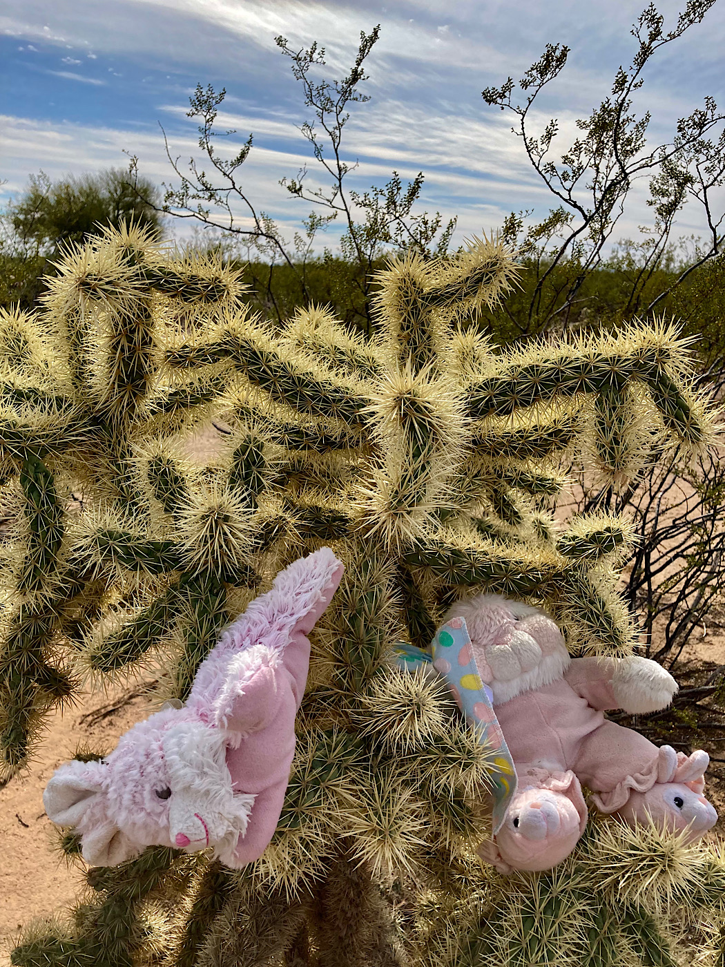
We checked out Bunny Trail, Snake Dance, Bunny’s Revenge and Bunny Reroute another day. Bunny Trail has all kinds of – you guessed it! – bunnies. There are metal, ceramic, plastic, wood as well as stuffed bunnies! Thankfully, Snake Dance didn’t have a single snake – real or stuffed.
All of these trails are rated green. This section of Fantasy Island is just pure enjoyment with lots of twists and turns around the cacti! Bunny Reroute took us back over to Lone Cactus. I headed back to the truck from there. Brad took a longer bike ride on the Lone Cactus circuit before following the bike route back to camp from the Fantasy Island trailhead/parking area off of Valencia – 4.3 miles (7 km).


Sabino Canyon Adventure Day
Being a weekend, we headed out earlier on Saturday for 16.7-mile (27 km) drive to the uber-popular Sabino Canyon Recreation Area. The parking lot was over two-thirds full when we arrived around 9 a.m. Truly, the busiest outdoor adventure spot we’ve seen in Tucson.
Looking to escape the crowds, we chose Blackett’s Ridge. We didn’t escape the crowds, but the views were worth the extra people on the trail!

Starting from the Sabino Canyon parking lot, we headed over the Bear Canyon trailhead to the right of the Visitor Centre. It joins the paved tram road. Here we turned right, following the pavement down to an intersection near a small washroom and low bridge.
Turning right again, we crossed the bridge and came to a signed T- junction. Blackett’s Ridge is now on the sign! Heading left up Phoneline for another 0.6 mile (~ 1 km), we are finally at the Blackett’s trailhead.
Hiking Blackett’s Ridge
From here, the trail climbs for 1.7 miles (2.7 km) with multiple false summits to keep it interesting! You’ll know you’ve reached the top when you see the small metal sign reading: “End of Blackett’s Ridge Trail.”
There were dozens of other people on the trail – many of which were heading down as we were going up! Step aside, go ahead, thanks given and received – it was a fun trail dance. Views kept getting better and better as we climbed before reaching the summit with spectacular vistas up both Sabino and Bear Canyons.

Lunch was enjoyed staring at the Thimble and across to Mt. Lemmon before shifting focus out over the city and beyond. Wildflower season is just starting right now, and I stop to snap pics of the first poppy, globemallow and fairy dusters of the season.
Back down at the start of Blackett’s we head up the trail to make a bit of a loop back. It was an easy climb up to junction that took us back down to Sabino Creek, along past Sabino Lake (small reservoir) and back to the main trail to the parking lot. Total distance of 7 miles (11.5 km) covered – with the extra bit of trail – and an elevation gain of about 1750 feet (533 m).
What’s Next?
So much to do on this side of the city! It’s only 7.5-mile (12 km) drive to Colossal Cave Mountain Park; less than 18.5 miles (30 km) to the start of the Mount Lemmon Highway; a roughly 20-mile (33 km) drive to Empire State Ranch; and about ¾ hour drive on Hwy 10 east to the Amerind Museum in Dragoon, AZ.
Part II: West Tucson and Desert Trails RV Park – and the conclusion of RV Parks in Tucson, Arizona: East or West is Best?
Let us know in the comments below – what do you look for in a RV park?

Plan your adventures with our 2026 RV Trip Planner available in our Etsy Printables Shop!


