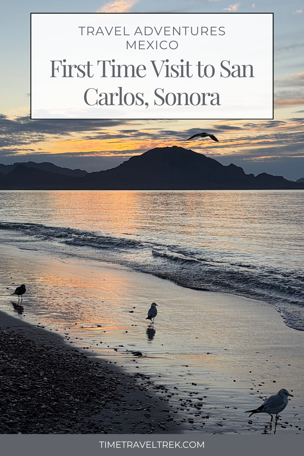
When friends ask you to join them for an RV adventure to San Carlos, Sonora, Mexico, how can you say no? Easy camping, a little biking, a lot of hiking, even more paddling — and yes, the option for pickleball games that somehow turn into a weekly ritual. What’s not to love?
Disclosure: This post contains affiliate links. If you make a purchase through one of our links, we may earn a small commission at no extra cost to you. Thanks for supporting TimeTravelTrek.

This post kicks off the series San Carlos, Sonora: An Active Basecamp on the Sea of Cortez,
where we explore RV travel, paddling routes, hiking trails, biking loops, birding hotspots,
and the simple daily rhythms that make this corner of coastal Mexico so compelling.
Check off the entire series:
RV Travel Adventures: Travelling to San Carlos, Mexico (this post)
Camping in San Carlos | Sonora MX
Kayaking San Carlos: Soldado Estuary
Hiking Nacapule Canyon in San Carlos Mexico
San Carlos Adventures: Kayaking Isla de Raza
Mountain Bike Rides in San Carlos, MX
Hiking Tom’s Peak San Carlos, Mexico
RV Travel Adventures: San Carlos Beach Walking
Table of Contents
All About San Carlos, Sonora, Mexico
After several trips towing our trailer down the Baja California peninsula, the mainland side of the Sea of Cortez had somehow stayed off our radar. San Carlos changed that quickly. With desert mountains rising straight from the sea and outdoor access woven into everyday life, this small coastal town proved to be more than just a warm-weather escape — it became an ideal active basecamp.
San Carlos is a seaside town in northwestern Mexico, in the state of Sonora, where rugged desert landscapes meet the deep blue waters of the Sea of Cortez. Dramatic peaks rise directly from the shoreline, creating a striking backdrop for everything from kayaking and hiking to a simple walk along the beach.
Like Loreto across the sea, San Carlos also holds the designation of Pueblo Mágico. It’s a title awarded by Mexico’s tourism board to towns recognized for their cultural, historical, or natural significance. In San Carlos’ case, it’s the dramatic landscape — sea, desert, and mountains colliding in one place — combined with a relaxed coastal lifestyle that sets it apart.
The area’s warm winter climate and accessible outdoor recreation draws snowbirds and RV travellers from across Canada and the United States. Unlike larger resort destinations, San Carlos remains compact, laid-back, and refreshingly easy to navigate — a place where adventure feels built into daily life.

What and Where Is San Carlos, Mexico?
If San Carlos isn’t already on your travel radar, you’re not alone. Before our first visit, we had plenty of questions.
Where exactly is San Carlos?
How close is the Sea of Cortez?
Is this the familiar Sonoran Desert ecosystem we know from Arizona?
How big is the town — and do I need to speak fluent Spanish?
Is it safe to travel there by RV?
San Carlos is located on the Gulf of California, also known as the Sea of Cortez, roughly four hours south of the Arizona border and about five hours from Tucson. Our campground is directly across the road from the ocean. Yes, it’s that close!
The surrounding environment is part of the greater Sonoran Desert, meaning the terrain and vegetation will feel familiar to travellers from the U.S. Southwest — just with the added bonus of a stunning coastline.

The town itself is small and approachable, with grocery stores, restaurants, RV parks, beaches, and trail access all within a short drive. While Spanish is the primary language, English is widely spoken and travellers can get by easily with a few basic phrases.
The Sonoran Desert: Where San Carlos Gets Its Character
San Carlos sits within the Sonoran Desert, one of the most biologically diverse deserts in the world — and the only desert on Earth where the iconic saguaro cactus naturally grows. In the southern Sonoran Desert around San Carlos, organ pipe cactus is more common than saguaro.
Unlike harsher desert environments, the Sonoran Desert is shaped by two rainy seasons: winter rains and summer monsoons. This cyclical rainfall pattern supports a surprising abundance of plant and animal life.
The climate is hot and dry for much of the year, but winter temperatures are mild and comfortable, making San Carlos an ideal base for outdoor activity. Daytime highs in winter are typically warm without being oppressive, while evenings cool off enough to make campfires and beach walks especially pleasant.

Vegetation here includes the occasional towering saguaro, lots of organ pipe cactus, ocotillo, cholla, palo verde, palo blanco, mesquite, and creosote bush — plants well adapted to long dry spells and intense sun. Near washes, canyons, and coastal areas, you’ll also find palms, flowering shrubs, and pockets of unexpected greenery.
Wildlife is just as varied. Birdlife is especially rich, with great blue herons, egrets, ospreys, pelicans, and seasonal migratory species such as roseate spoonbills found around estuaries and shorelines. On land, it’s not unusual to spot desert cottontails, lizards, and the occasional javelina or coyote or coatimundi in the hidden canyons. This diversity is one of the reasons San Carlos has an active birding community and why paddling and hiking here often feel like quiet wildlife safaris.

How Do I Get to San Carlos — and Is It Safe?
For RV travellers, getting to San Carlos is straightforward. Most visitors cross into Mexico from Arizona and follow well-maintained toll roads (cuotas) south. These roads are clearly marked, in good condition, and commonly used by RVers and snowbirds.
As with any road trip in Mexico, daytime driving is recommended, and sticking to toll roads adds an extra layer of comfort. You’ll need a valid passport and a tourist visa (FMM), which is obtained about 21 kilometres (13 mi) after crossing the border. I’ll walk you through the entire border crossing process and visa details – the same way our friend Mel did for us – at the end of this post.
San Carlos is perfect winter basecamp. A popular getaway, the town has infrastructure that supports tourism – from restaurants and bars to condo rentals and RV parks. With basic precautions and a relaxed mindset – yes, you’ll have to learn to get over the garbage, stray animals and occasional lack of drivers observing rules and regulations – it’s an easy and welcoming place to travel.

Why San Carlos Works as an Active Basecamp
What drew us to San Carlos — and what ultimately kept us there — was how seamlessly outdoor adventure fit into everyday life.
From camp, we could paddle protected estuaries in the morning, hike desert canyons in the afternoon, and still be back in time for sunset over the water. Mountain biking trails start practically at the edge of town, coastal hikes offer constant views of the Sea of Cortez, and birdlife is ever-present, especially during the winter months.
Then there are the unexpected layers: a thriving pickleball scene, an active birding club, sailing and kiteboarding opportunities, golf, disc golf, and long, walkable beaches that invite you to slow down between bigger adventures if you so desire.

This series explores hiking, biking, paddling and pickleball experiences, showing how San Carlos functions not just as a destination — but as a place to settle in, explore deeply, and connect the dots between land, sea, and community.
Where Can You Camp with an RV in San Carlos?
San Carlos offers several RV camping options, depending on how you like to travel.
We stayed at Totonaka RV Park, a popular choice with full hookups and easy access to the water. It’s social without being overwhelming and makes a convenient base for paddling, beach walks, and daily outings.

There’s also Emerald Ranch RV Park, a much smaller option with just a handful of sites, as well as opportunities for boondocking on the sand dunes near town for those who enjoy self-sufficient camping.
We’ll dive deeper into each of these options — including what to expect and who they’re best suited for — in a dedicated camping post.

When You Go: Driving to San Carlos Border Crossing, Visas & Tolls
Driving to San Carlos via the Nogales (Mariposa) Border Crossing
With valid Mexican vehicle insurance coverage purchased ahead of time (we use ADA VIS Global), most RV travellers heading to San Carlos from Arizona cross at Nogales using the Mariposa (truck route) border crossing.
From Tucson:
- Travel south on I-19
- Take Exit 4 for International Border / Truck Route (Mariposa Crossing)
Fuel Tip:
Fill up before crossing into Mexico. Fuel is significantly cheaper in the U.S., and there are convenient stations just before the border:
- Fiesta gas station on the left shortly after Exit 4
- Shell / Pilot a little farther down, just before the crossing
Crossing into Mexico: What to Expect
- Wind through the controlled border crossing and stay left, following the large overhead sign reading “Bienvenido México.”
- Do not take the right-hand exit marked “Nothing to Declare” — this loops you back into Nogales, Arizona.
Mexican Inspection Station
- Drive several kilometres to first toll booth and continue on to the inspection area, following the lane marked “Autos and RVs” (not Importación).
- Inspections are usually quick.
- We were asked to open the back of the truck and trailer.
- The officer checked our trailer registration and matched the serial number to the trailer.
- We were not asked for passports at this point.
Obtaining Your Tourist Visa (FMM)
After inspection, continue driving approximately 21 kilometres (13 miles).
- Look for buildings on the right-hand side labeled
“Tourist Visa and Vehicle Importation Office.” - You can enter this location into Google Maps.
- We parked a few hundred metres (less than 1,000 ft) before the sharp right-hand turn into the complex.
Visa process:
- Park and walk to the small central building for tourist visas.
- Bring:
- Passport
- Payment method (debit or credit card only)
- If you do not plan to go south of San Carlos, you do not require a vehicle or trailer permit (valid Mexican vehicle insurance is still required).
Cost:
- 983 Mexican pesos per person
Continuing to San Carlos: Tolls & Driving Time
Once your visa is complete:
- Rejoin the four-lane highway
- Enter San Carlos or Totonaka RV Park into Google Maps
Toll breakdown (note: all tolls require Mexican currency; carry small bills and count change carefully.)
- Toll #1: After U.S. border and just before you reach the Mexican inspection crossing (84 pesos)
- Toll #2: Just after kilometre marker 186 (54 pesos)
- Toll #3: Before the Hermosillo ring road (164 pesos)
- Toll #4: On the Hermosillo ring road (226 pesos)
We paid a total of just over 528 pesos (about $30 USD) one way in toll costs.
It’s a straightforward drive to San Carlos, with well-maintained roads and clear signage. Google Maps works well as a guide.
PIN THIS POST FOR FUTURE REFERENCE!
👉 Up next in the series: Camping in San Carlos, Sonora
RV parks, boondocking options, and what makes a good basecamp in coastal Mexico
Love it!!!!!! Such a wonderful place that absolutely does grow on everyone. We came 10 days the first time one month the second time and now three months this year. Looking so forward to hearing what is in your next post Megan.😄
Your passion for this place is motivational Mel – we’ll be back!