From the top of Picacho Peak in southern Arizona, you can see the world once inhabited by the Hohokam people. What you can’t see are the fading traces of their existence – from silted in canals to buried points and broken shards of pottery to faded petroglyphs. Join us on a trip to the peak and peek into the past as we explore the Picacho Mountains.
Disclosure: This post contains Affiliate links.
Table of Contents
Hiking Picacho Peak
We always like to start with a bird’s eye view of our surroundings whenever possible. It helps create a mental map of where we are in the world. Today’s quest was Picacho (pronounced pick-aw-cho) Peak. You can’t miss seeing this prominent outcrop when driving I-10 between Tucson and Phoenix. It rises 1,500 feet above the desert valley.
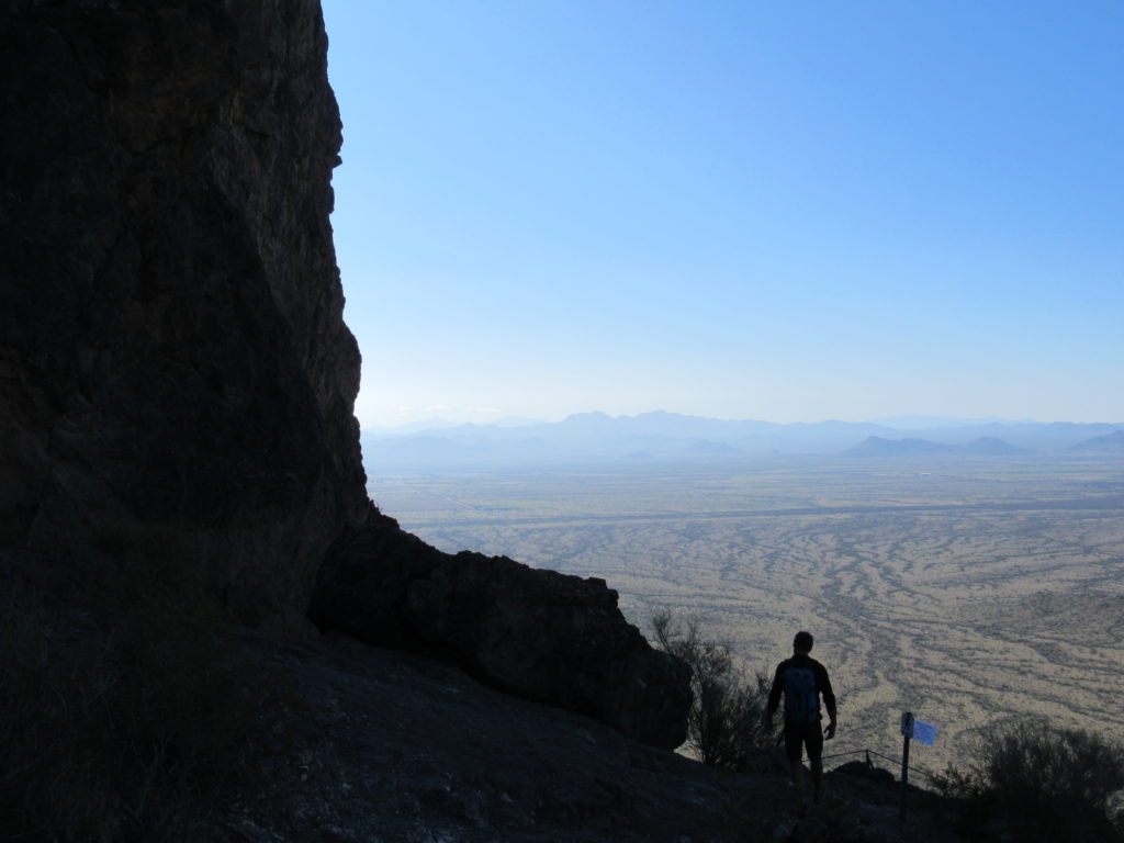
The most common route up to the summit of Picacho Peak is Hunter Trail. It may be only two miles (3.2 km) long, but it is two, long and twisted – for some terrifying – miles of adventurous trail. Starting out early in the day, before the heat added another layer of adventure, we parked our truck at the trailhead.
We paused momentarily at the temporary signboard advising hikers to “use caution, trail cables under repair” and for a moment longer at the second more permanent sign. It noted that the “Hunter Trailer is rated DIFFICULT and is not recommended for inexperienced hikers, hikers with existing knee or ankle conditions, or anyone under the age of ten,” We looked at each other briefly, eyebrows slightly raised, before starting the stiff climb up to the saddle.
(Photo: Megan Kopp)
Did You Know?
Picacho Peak has quite the history. It was a key landmark for navigation for early explorers such as Father Kino in the late 1600s and Juan Bautista de Anza on his expedition in 1775-76 leading settlers from Mexico to Upper California.
The Civilian Conservation Corps (CCC) built a navigational beacon for aircraft on the summit of Picacho Peak in 1932 – and established the original Hunter Trail on the south side to service the light.
Today’s trail – built in 1968 when Picacho Peak became a state park – starts on the north side of the peak, ascends to the saddle, slides down and around a secondary peak to connect with the original CCC trail on the south.
On the CCC Trail
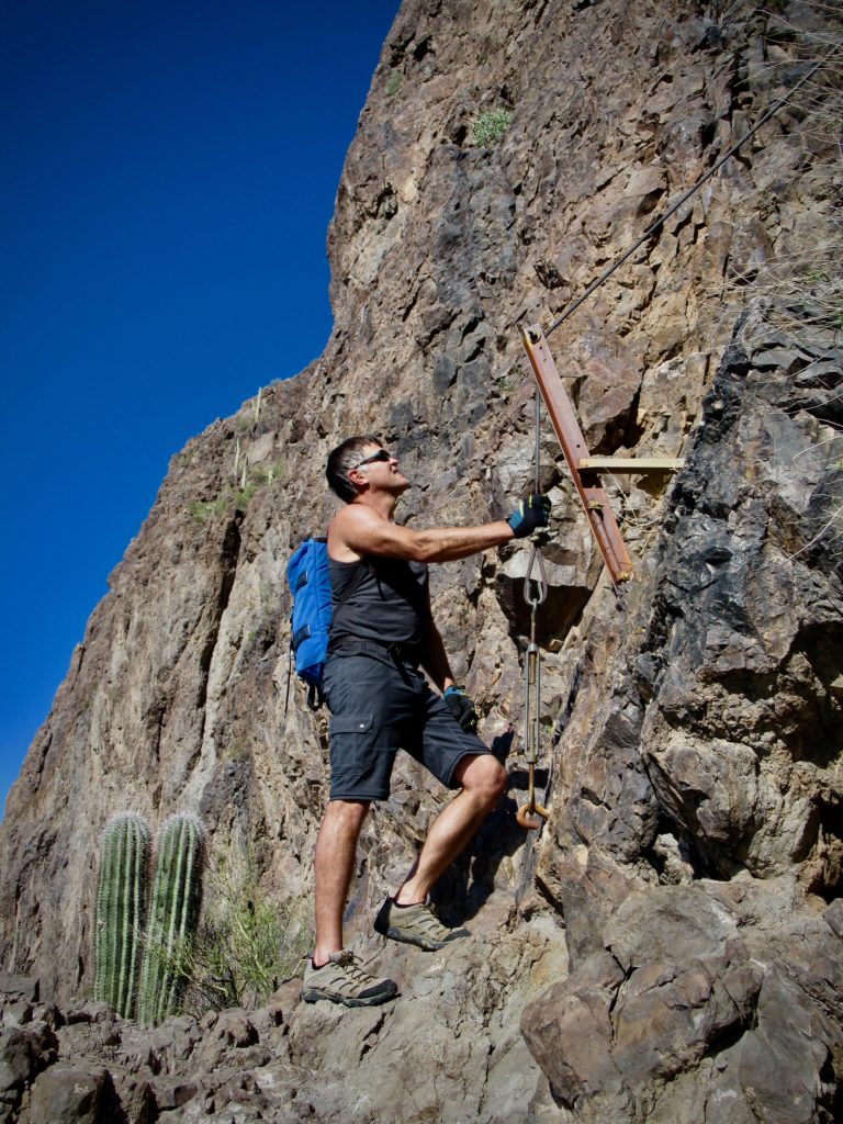
The steep climb to the saddle is followed immediately by a steep but short descent. Yes, that’s right, what goes up goes down before going up again! This is where the cables were being repaired, or as we noted, absent. Careful footing required.
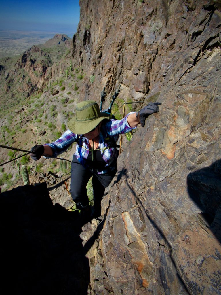
The iconic section of trail begins immediately after the junction with Sunset Vista Trail. As it climbs, cables and a short, suspended, boardwalk lead mountain goats… I mean adventurous hikers… up to the summit.
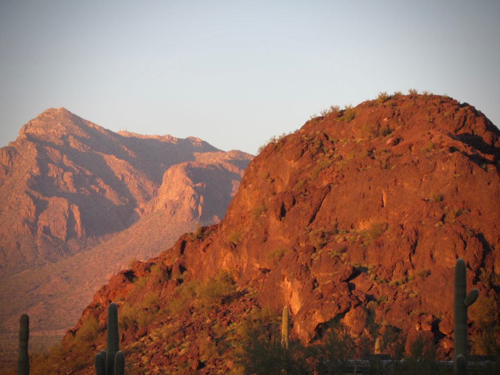
Lunch on top of the peak was a quiet affair, absorbing views of the ragged Sawtooth Mountains to the southwest, the wide desert valley below and the Picacho Mountains arcing northward across the I-10.
Sunset Vista Loop
Opting to make the hike a loop, we descended from the peak and took Sunset Vista trail off the mountain. The first steep pitch is cabled, but a firm grip and gloves are a boon. From here, the trail switchbacks down to the desert floor before meandering up and down through a Saguaro cactus forest to the trailhead and picnic area at the north end of the massif.
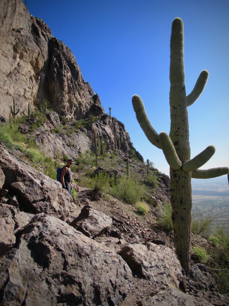
Following the road and the trail just off the road back to our truck, we made a complete the circuit. The relatively short, 6.2-mile (10 km) distance took four hours to complete. As the sun set, we set up camp and made preparations for the next day’s adventure – on the petroglyph trail.
What are Petroglyphs?
Petroglyphs are rock art images. They are usually made by pecking or chipping away the darker outer surface of the rock to expose the lighter colored stone underneath. While we still don’t know exactly what story these images tell, we do know that they were not careless acts of graffiti. They were created for a reason, in specifically chosen locations.
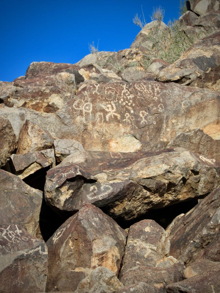
What may look like random doodles are a record of the past and potentially guideposts that archaeologists may be able to one day decipher.
The Petroglyph Trail
There are more than 4,000 individual petroglyphs at 19 different sites that are known to exist in the Picacho Mountains. When we read these stats, we knew we had to investigate. Driving north from the park, we turned off I-10 near Ely and headed east in our quest.
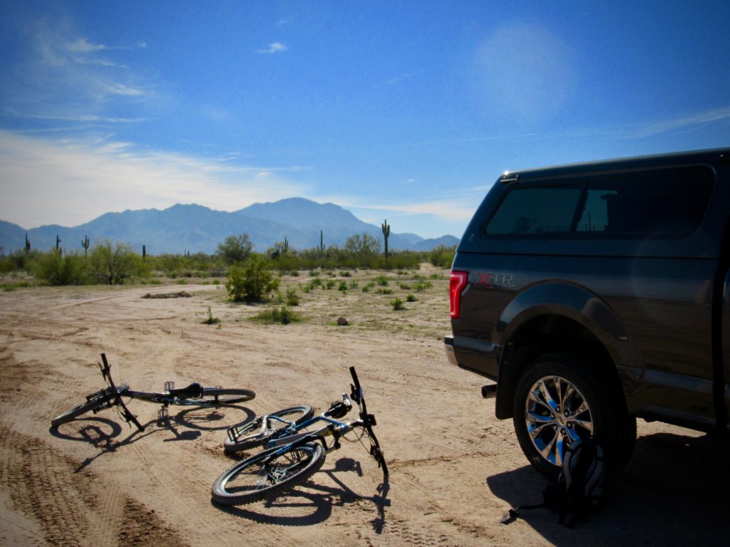
Parking the truck at a prominent water tank off the Brady Pump Road (see driving directions at the end of this post), we unloaded our mountain bikes and rode in toward a site we had previously researched.
The first section of dirt road was hardpacked and tires rolled along nicely. Not so much for the next segment, as we ploughed through soft sand and did a little pushing and walking. Thankfully, it was short and before long we were locking the bikes up at a Palo Verde tree and scrambling up on the jumble of rocks.
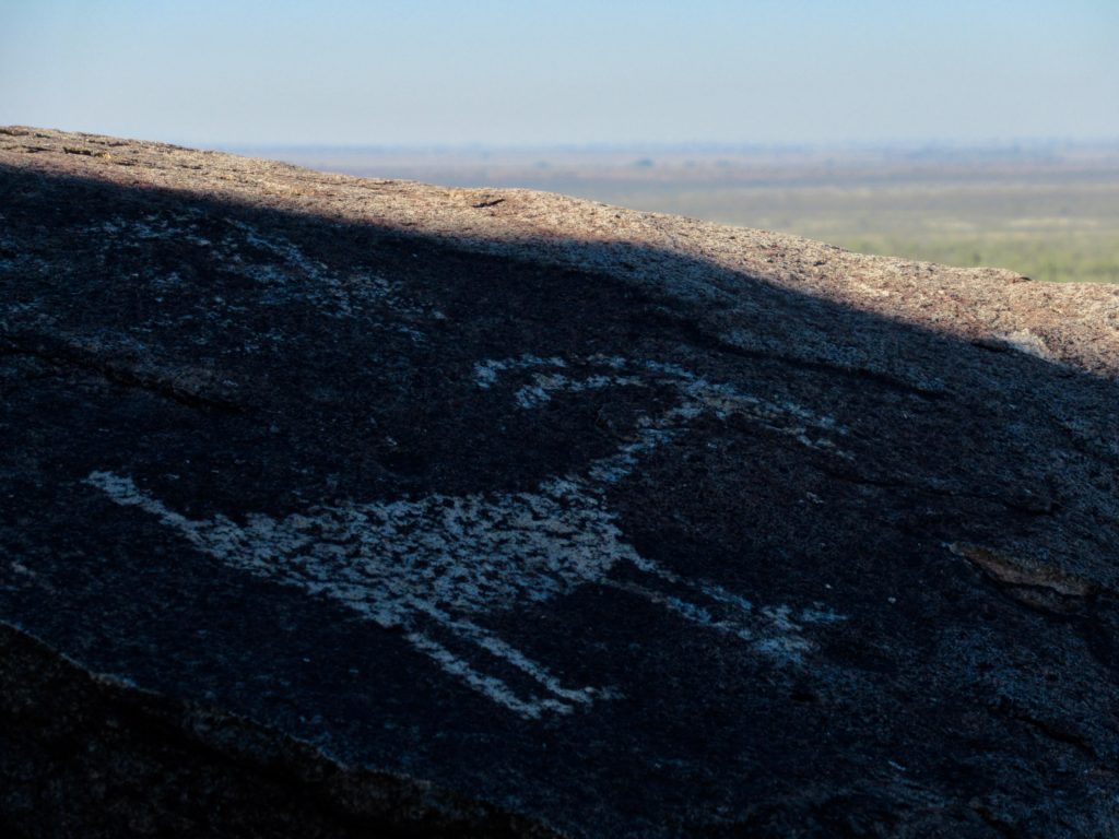
(Photo: Megan Kopp)
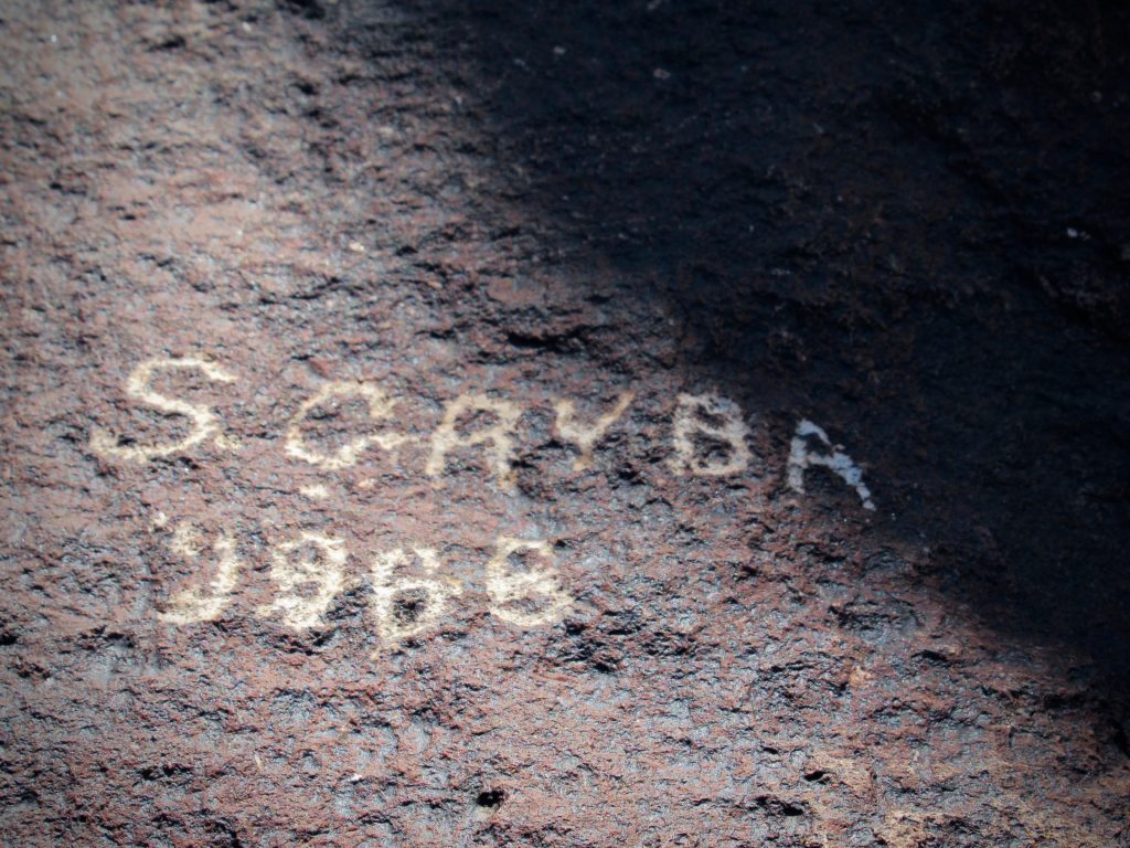
Ease of access has made this site subject to vandalism, but the quantity and quality of petroglyphs is astounding. Suns, spirals, squiggles, anthropomorphic (human-like) and zoomorphic (animal-like) figures all vie for attention. Researchers have found everything from hunting and fertility scenes to maps and ceremonies in the Picacho Mountains.
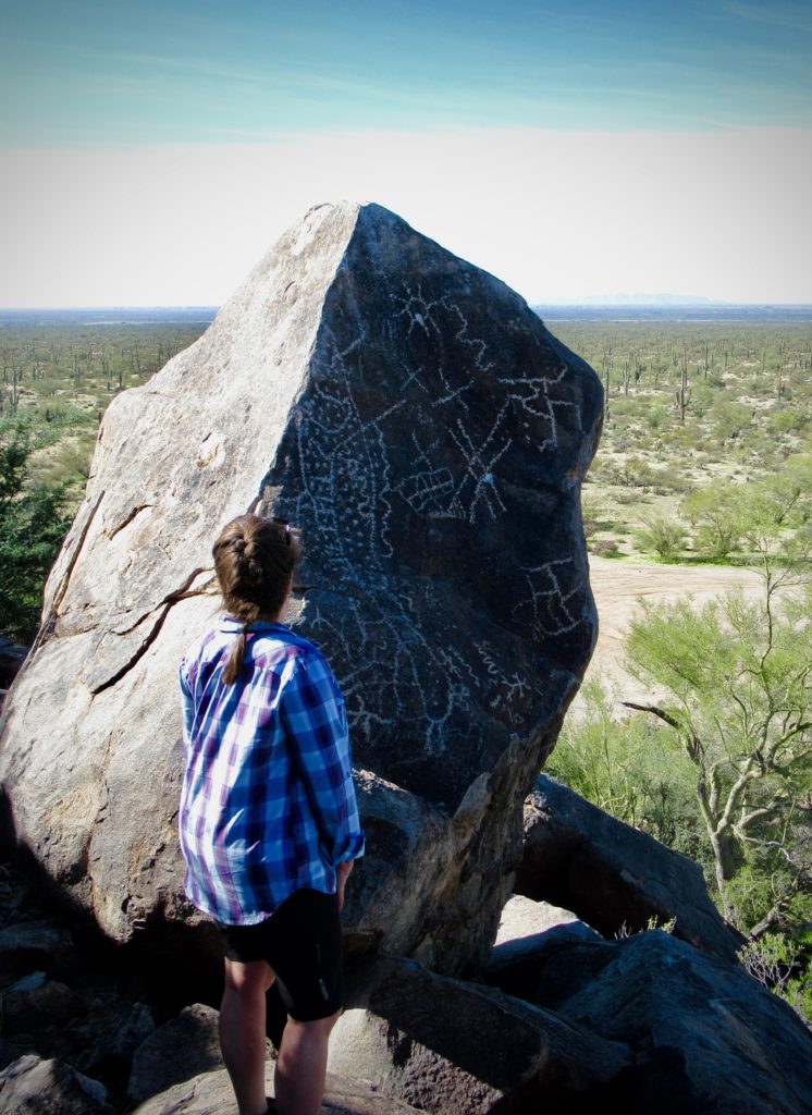
The petroglyphs are attributed to three distinct time periods. Archaic peoples left their mark between 8,000 B.C. and 400 A.D. The vast majority of petroglyphs belong to the Hohokam people, dating from the 12thand 13thcentury. Pima Native Americans retraced many of these prehistoric rock art symbols prior to the arrival of the first Europeans.
Wander and Wonder
After soaking up the site and a quick bite of lunch, we followed the narrow jeep track heading south and curving around the hills. It leads to another separate hill of similar boulders, again covered with dozens and dozens of petroglyphs.
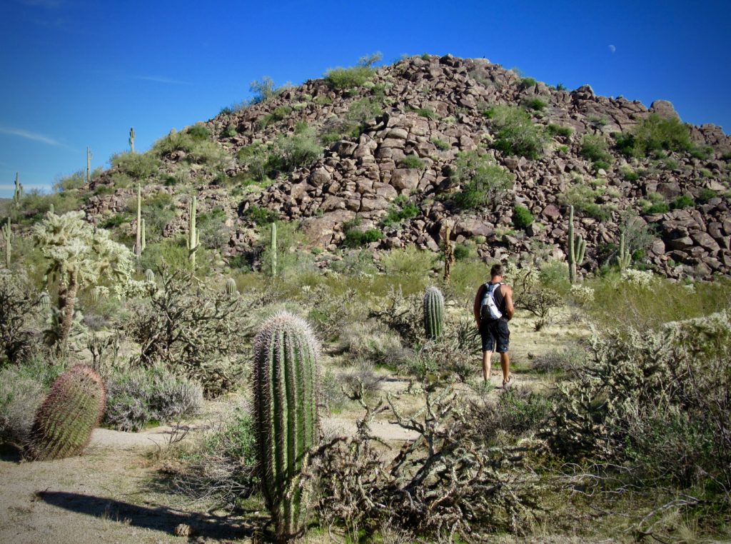
(Photo: Megan Kopp)
We wandered around the ancient site for another hour, soaking in its rich detail before agreeing it is time to leave. Having only found two of the 19 petroglyph sites in this area, we have good reason to come back. Soon.
When You Go
Picacho Peak State Park is about an hour’s drive north of Tucson. Either the hike or the petroglyph search is doable as a day trip. If you wish to do both, you might want to camp overnight in the park as we did (reservations recommended in busy winter months).
To reach the petroglyphs we explored, take Exit 211A off I-10 and head north on AZ 87 for about 4 miles (6.4 km). Turn right on Houser Road and follow it for about 5 miles (8 km) to the T-junction of Brady Pump Road (signed). Turn left and follow it for just under 3 miles (4.8 km) to the brown water tower. We parked here and rode our bikes in, but you can drive the slightly rough left fork (which crosses a cattle guard and gate) for another 1.2 miles (1.9 km) before angling right on the sandy main road for another 1.5 miles (2.4 km) to the hills strewn with dark brown rocks and petroglyphs.




Dear Megan and Brad, I’m so happy to find your site. I’ll be in AZ (from B0ston) in April, and am finding that the BLM petroglyph sites will probably be shut down, maybe all of them. Sigh. With 2 friends I might be able to explore Picacho Peaks. Will I need directions to specific sites you found? It sounds like the trails are in a somewhat contained area????
Hello Jeannie – we’re happy to have you here! I’m not sure what you’ve read about the petroglyph sites being shut down as these ones are not in the park itself. They are in the mountains on the other side of the highway (driving instructions at end of post). The first petroglphs are easy to access – but again, they are not in the park themselves. Best of luck!
Are the petroglyphs reachable from campground? Are they in the lower, flatter part of the park, or high and over rough trail?
Hello again – check driving instructions at end of post. The first series of petroglyphs are easy to access but they are not in the state park.