McDowell Mountain Regional Park – located under an hour northeast of Phoenix, AZ – is the perfect base camp for outdoor adventures. Bike, hike, explore, rinse, and repeat!
Disclosure: This post contains affiliate links. If you buy something from one of our affiliates, we receive a small commission at no extra charge to you. Thanks for helping to keep our blog up and running!

Table of Contents
Why choose McDowell Mountain Regional Park for a base camp?
We chose to camp at McDowell Mountain for one main reasons: outdoor adventure. While Lake Pleasant is our favorite Maricopa County Regional Park for paddling and White Tank Mountain Regional Park is our choice for hiking, McDowell is all about the biking!
Arriving a little earlier – no access to campsites before 1 pm – we checked out the Nature Center. Snagging photocopies of trail maps, we got our bearings and planned an afternoon ride. We also signed up for the guided bird hike the following morning – 7:30 a.m.
Wondering how to keep track of everything?
Be sure to read how a digital RV travel planner now goes everywhere I do!
Completing our circuit of the Nature Center, we glanced into the small room with snakes and scorpions in small glass cages. Outdoors behind the centre was at least one Sonoran Desert tortoise in a lovely, large, and well-vegetated pen.
Our pals arrive and it’s time to check in. All the regular sites are full (booked months in advance for the most part), but there’s room in overflow. Set up, quick bite of lunch and we’re on our bikes – yeehaw!
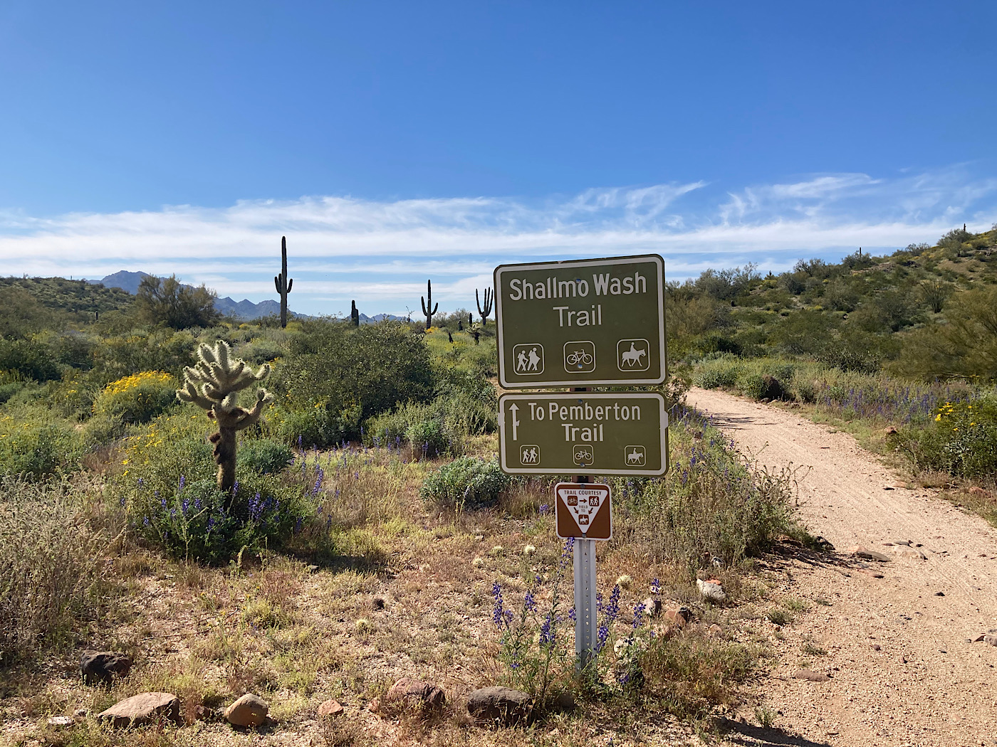
We headed down Tortoise Trail to Pemberton Staging area and out Pemberton to the first of two Scenic trail turns. It’s a quick, fun blast down Scenic and Cinch before turning left at Escondido.
Escondido trail twists and turns and has a small cliff side section, but nothing technical or too rocky. Pedalling past the tent and small RV campground, we are back on Pemberton and Tortoise to camp. Wowza – that was 10.5 miles (17 km) of simply pure joy!
Time for a shower, sunset, and something to sip and snack on.
Record your adventures with our one-of-a-kind biking journal and tracker!
A Little Bit of McDowell Mountain Regional Park History
Thousands of years ago, the banks of Salt and Verde Rivers were home to between 4,000 to 10,000 Hohokam Native Americans. The area that is now McDowell Mountain Regional Park was used for hunting and gathering food.
In 1865, Camp McDowell was established on the west bank of the Verde River. Its protection allowed for permanent settlement in the Salt River Valley. Six years later, Maricopa County was created to serve the area’s burgeoning population.
In 1944, discussion started about establishing a Maricopa County Regional Park system. Fourteen years later, 18,273 acres was leased for the establishment of McDowell Regional Park. Now covering 21,099 acres, McDowell Mountain is one of the largest in the system.

Another day another bike ride (or two) in this Maricopa County gem!
We’re on the move – with two campsites in the regular campground available for two days (sometimes it pays to try to get into McDowell Mountain Regional Park for camping even when it books up online 6 months in advance).
We can’t more in until 1 p.m. and we must be out of overflow by noon. No problem, we just pull the trailers down to the large parking area in Pemberton Staging area, unload the bikes and ride on!
Up Wagner to Granite and taking the loop in a counter-clockwise direction for – yeehaw! – a zip down Bluff. It’s around 6.8 miles (11 km) total distance. These trails are too much fun.
Move, set up, fuel up and pop the bike helmets back on again. This time it’s down Tortoise Trail to Pemberton and along to 2nd “Scenic” turnoff. Climb up onto ridge. It’s rocky and demands full attention – but the views are worth the effort.
Down – the trail winds down through patches of bright blue lupines to Cinch. We roll onto Cinch and follow it to Lower Shallmo Wash trail before returning up Tortoise to the campsite road. It’s about an 8-mile (13 km) pedal in the sun. Smiles are big on our faces.
Early Morning Nature Hike
We’d signed up for the hike on our arrival at the park, thinking it was going to fill up fast. We waited with another couple from Kansas for Ranger Eric to arrive. He had a little longer commute to the Nature Center than our 5-minute stroll – coming all the way from Wickenberg! Rangers travel big distances in Maricopa County.
And we were grateful as we started out behind the nature centre spotting lesser goldfinch, cardinals, a canyon towhee and a Gila woodpecker. Heading down Tortoise trail there was a quail, a nesting curved bill thrasher, a mockingbird and a flock of distant sparrows unidentifiable in the early morning sun glare.
We saw Desert hyacinths (aka blue dicks), California poppies – actually the Mexican gold subspecies of the California poppy, a pale lavender toadflax, desert tobacco with pale yellow, tube-like flowers, and more before heading back for breakfast.
Time to say goodbyes to our pals as they are off on another adventure north. We drown our sorrows with a 16-mile (25.7 km) bike ride up Wagner to Lariat. From Lariat to Pemberton.
We met up with another biker at Jackass rest area (skeleton on roof with beer can wind chimes). He said he passed 3 snakes on way up! He also said he saw a Gila monster at Browns – so we’re taking it with a grain of salt, but I’m still on high alert.
A bit more of a climb up towards Bluff Junction. Mostly downhill – but a bit more rocky – down Pemberton – awesome views. Pass a few remains from Pemberton ranch. Take Granite up and into south campground. Good day – and not a snake in sight except for the campground play structure 😉

So much to do, so little time!
Beyond biking in the park, we explored Fountain Hills. It has dozens of bronze statues – both surrounding the namesake lake and near the library – which is a great place for Wifi if you need it.
We also hiked Adero Ridge, 2-mile (3.27 km) one-way hike with spectacular views all the way to Scottsdale.

Brown’s Ranch is less than a ½ hr drive away and it also has miles and miles of spectacular hiking and biking.
It felt like we’d barely scratched the surface. We’ll be back McDowell!
When You Go
The park is only four miles outside of Fountain Hills, Arizona has over 40 miles (64 km) of mountain biking, hiking, and horseback riding trails. Trails range in difficult and length – from 0.5 mile (0.8 km) to 15.3 miles (24.6 km).
For online camping reservations in McDowell Mountain Regional Park, visit the website.
Another fun biking area in the Maricopa County Regional Park system is Usery Mountain – check it out!
Be sure to stop in at Cave Creek Regional Park if you would like more time in this area!

Plan your adventures with our 2026 RV Trip Planner available in our Etsy Printables Shop!
Leave a Reply