Visiting Hovenweep National Monument in a day involves a bit of planning – but it is possible! There are 6 different prehistoric villages with stone towers built by Ancestral Puebloans over 700 years ago to explore. You probably won’t have time to see them all – but that’s a good reason to come back to this must-see Four Corners prehistoric site again.
Disclosure: This post contains affiliate links. If you buy something from one of our affiliates, we receive a small commission at no extra charge to you. Thanks for helping to keep our blog up and running!
Table of Contents
Are you ready for Hovenweep National Monument in a day?
Is it even possible to visit Hovenweep in a day?
Yes.
But – pay attention now! – you need to have some background knowledge about what and where Hovenweep National Monument is before you set out on your historic site quest. Without this grounding, you’re going to feel a little lost and overwhelmed.
Short on time but still want a taste of the American Southwest’s greatest treasures?
Be sure to check out our post on one day in Mesa Verde National Park as well!
What and where is Hovenweep?
If you’re familiar with TimeTravelTrek, you’ll know that we have love travelling through the American Southwest, learning about archaeology, and exploring prehistoric sites.
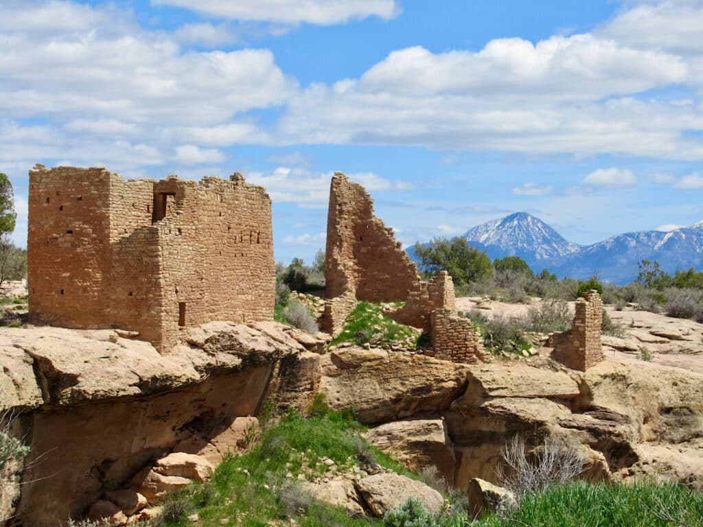
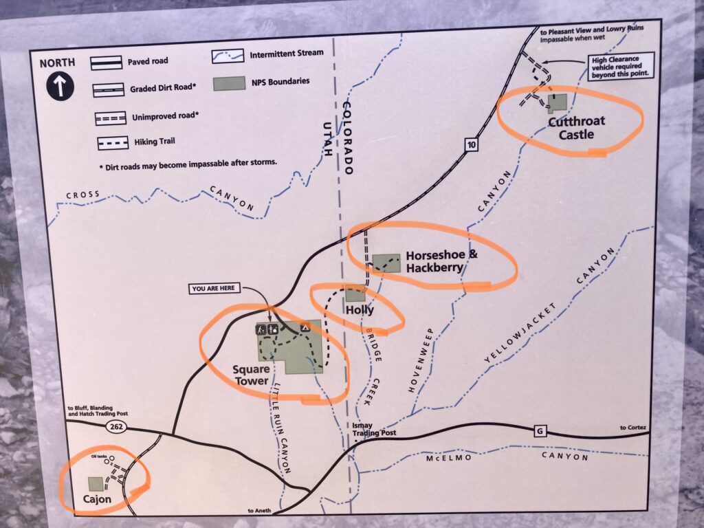
Located on the border of southeastern Utah and southwestern Colorado, Hovenweep is a collection of not one, not two, but six different prehistoric villages. Square Tower Group, Horseshoe, Holly, Hackberry, Cutthroat Castle, and Cajon are open to the public, but not all are easy to access.
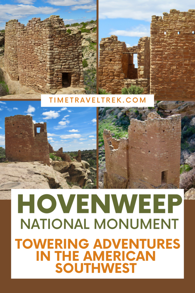
Built by Ancestral Puebloans – formerly known as the Anasazi – between 1200 and 1300 AD., the ruins at Hovenweep are unique. The villages include impressively constructed – and seriously photogenic – multi-story towers and circular kivas and are scattered across 20 miles (32 km) of the Cajon Mesa.
What’s in a name?
Hovenweep is a Paiute and Ute word. It means “deserted valley.” When photographer William H. Jackson visited the area in 1874, he called it Hovenweep. In 1923, it became Hovenweep National Monument.
The Ancestral Puebloans were a farming culture that occupied the Four Corners area from about A.D. 500 to A.D. 1300. Ancestral Puebloans at Hovenweep were closely associated with groups living at Mesa Verde and around Cedar Mesa. Today’s Pueblo, Zuni, and Hopi people claim the Ancestral Puebloans as their ancestors.
Tips for visiting Hovenweep National Monument in a day
First up, make sure to pack a lunch. There are no services in or near the monument. It’s out there!
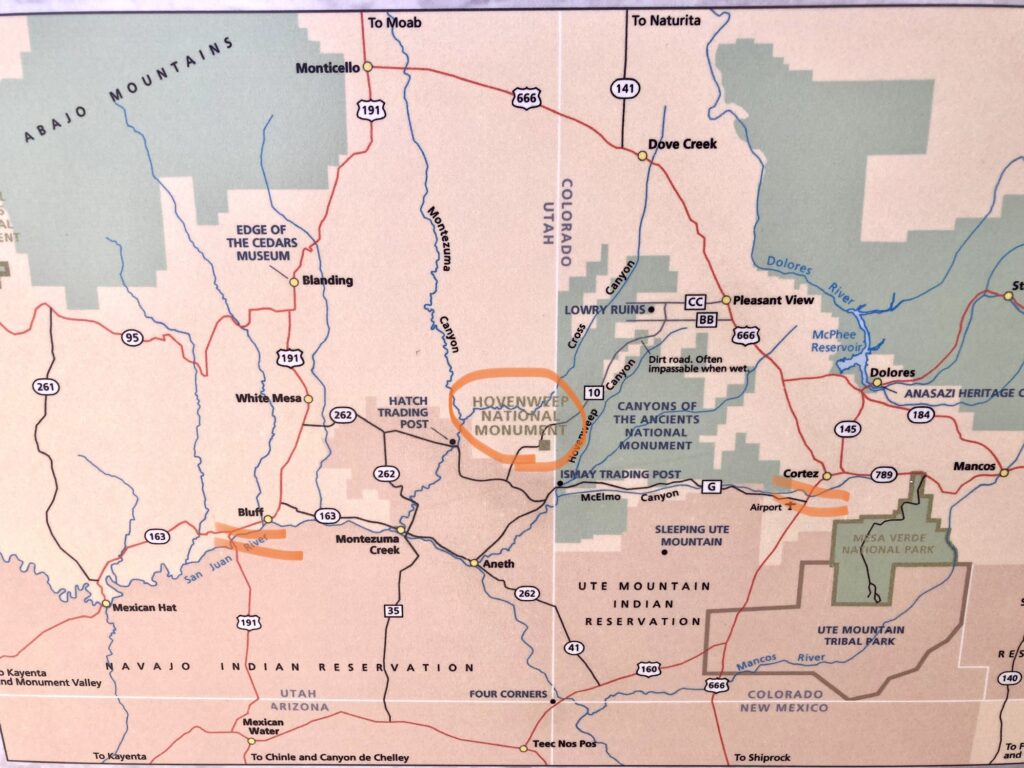
We left our campsite near Bluff, Utah around 9 a.m. and were driving into the monument about an hour later. First stop – after restrooms – was the visitor center. It’s small and the displays take only a few minutes to peruse, but back behind the info counter are a few chairs and TV.
Take a moment to watch the short 18-minute intro video – it provides a good overview and will give you a few specific features to keep an eye out for – like a solstice spiral petroglyph – when you walk to the villages.
Before you head out, stop at the counter for a copy of the monument guide and the Square Tower Group trail guide. These also available in rack outside entrance if visitor centre is closed.
Walking Ruins Canyon to the Square Tower Group
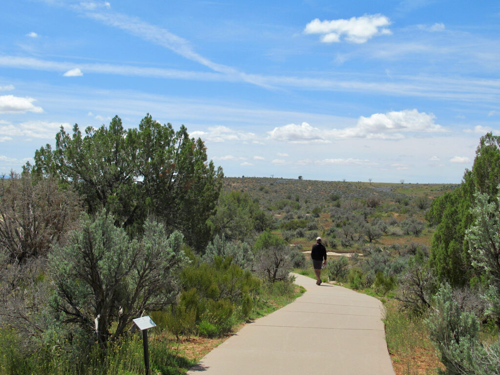
A wide concrete, wheelchair accessible, interpretive path heads out from the visitor centre towards Square Tower Group in Little Ruins Canyon. It turns into a rougher, less accessible trail after 900 feet (274 m) at the junction with the 1.5-mile (2.4 km) loop Rim Trail.
We stopped to admire Stronghold House – the first of seven major ruin structures found in the canyon and on the rim. The Square Tower Group pamphlet does an awesome job of interpreting what we now see and what once existed.
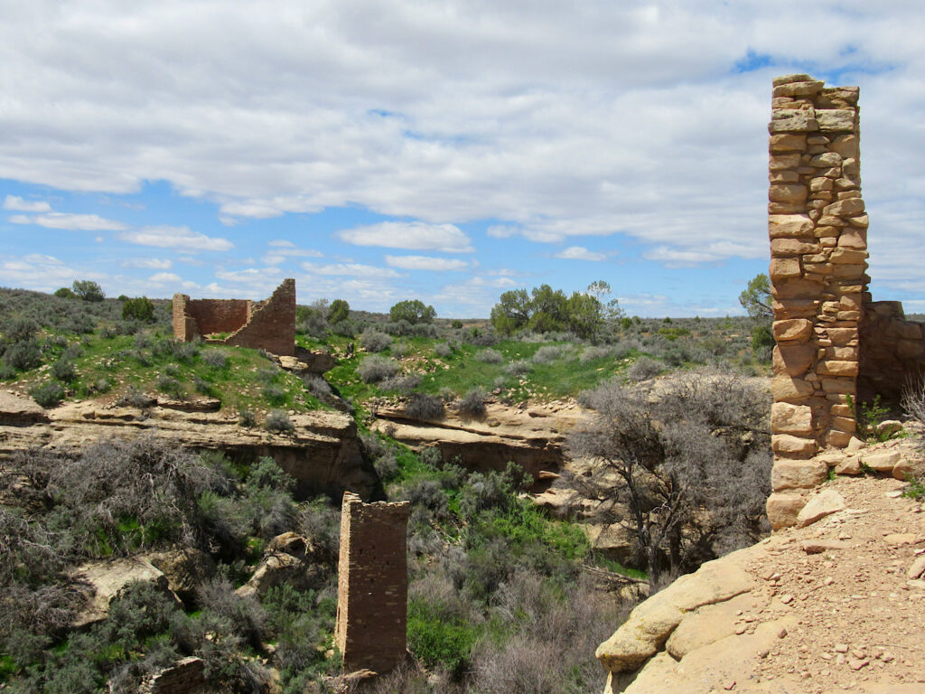
Continuing counterclockwise, we stopped at Unit Type House, wandered out to Tower Point (an additional loop trail of 0.5 miles (800 m), and stopped to pay homage to the stone masons at Hovenweep Castle on the rim and Square Tower in the canyon below.
As you round the head of the canyon and head past the remains of check dam to Hovenweep House, use binoculars to scan the canyon closer. There are signs of prehistoric village life – such as storage granaries used to store harvests – under the under canyon rim.
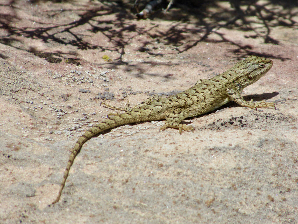
The path dips down into the canyon after Rim Rock House, Eroded Boulder House and Twin Towers. Short, but steep, we passed a few people resting as we climbed up the other side. Take your time and enjoy watching the lizards skitter across the stones.
All about the structures
The one thing that defines the Ancestral Puebloan culture more than anything else – in my mind – is their impressive masonry skill. Most of the structures at Hovenweep were built between A.D. 1200 and 1300. There is quite a variety of shapes and sizes, including square and circular towers, D-shaped dwellings and many kivas (Puebloan ceremonial structures, usually circular).
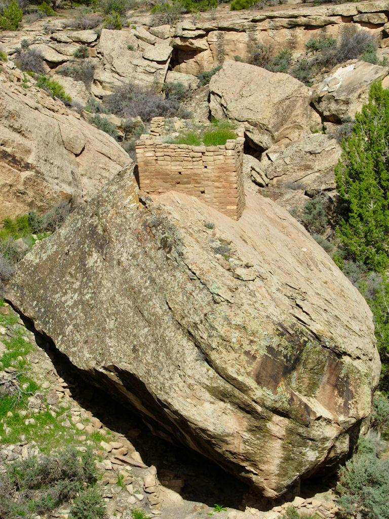
There are lots of ideas as to the purpose of the Hovenweep towers. Some believe they were used for defense. Other archaeologists think they might have been storage facilities or living quarters or observatories or maybe even a combination of a few of these uses.
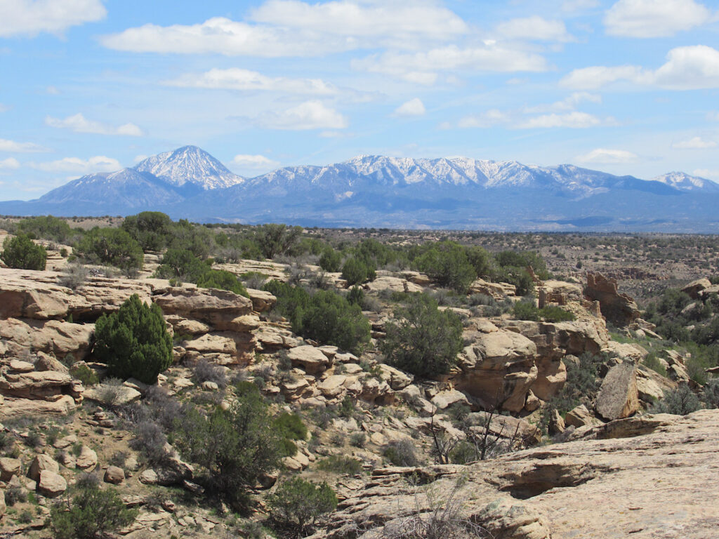
We took a late lunch down on the canyon rim – away from the ruins but still in viewing range – and sat to soak up the sun and sights before heading on. It was a good place to sit and think. Was the land those modern-day fields in the distance are on once cleared by the Ancestral Puebloans for crops? How far did their fields extend from the canyon rim? Would this have been a noisy place in its heyday with voices echoing across the stones, dogs barking?
On to Horseshoe, Hackberry & Holly
We left the Square Tower Group of ruins near the visitor center and loaded back up in the truck. Cutthroat Castle was closed for stablilization and road work. Cajon – the lowest elevation village at 5,179 feet (1,578 m) – was isolated to the southwest. “H” group – Horseshoe, Hackberry and Holly – was our best bet.
Turning right at the monument entrance, we drove 3.7 miles (6 km) – over the state border into Colorado and Canyons of the Ancients National Monument – to the “H” Group access road. Note that the unpaved “H” group road is rough, and a high-clearance vehicle is recommended.
The other option – if you have time – is to park off the paved road and walk or bike in. The road runs for 1.6 miles (2.6 km) – past the trail leading to Horseshoe and Hackberry – before ending at a slickrock parking area and the trailhead for Holly.
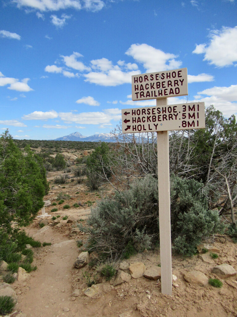
Because we were trying to visit as many sites as possible at Hovenweep National Monument in a day, we opted to drive in.
Hiking into Horseshoe and Hackberry
Backing into a small pullout across from the trailhead, we grabbed a water bottle and headed out. Past the interpretive sign highlighting the ruins and a trailhead sign in box, we slipped through the opening in the fence and walked a short 0.2 miles (0.3 km) to Horseshoe Tower. It was part of the Horseshoe Pueblo – a small village home to roughly 50-70 people.
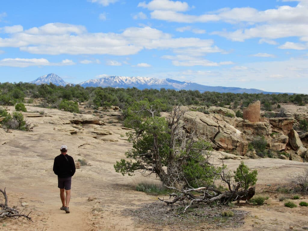
Why is this tower still standing strong in such an exposed location? What was it used for? Did the masons who built these structures ever imagine that their work would live on for centuries to come?
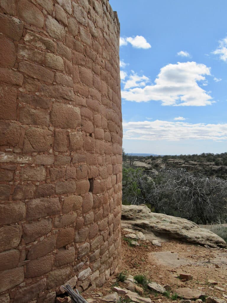
A short 0.1 mi (0.16 km) away is Horseshoe House – an impressive double-walled structure perched on an arm of Bridge Creek Canyon. The original building was D-shaped with a circular structure in the center. There was no exterior entrance. It’s thought that people entered through a roof opening.
Nearby a dam along the cliff edge once funneled rainwater into the spring below. If you stand at the right angle looking over at Horseshoe House, you can see the spring and another somewhat hidden rock structure below.
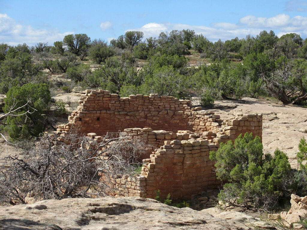
Once the largest village at Hovenweep
It’s another 0.2 miles (0.3 km) past Horseshoe House to reach the Hackberry Group. Hackberry Pueblo – named for the tree with deep roots that thrives near springs – is believed to have been the largest village at Hovenweep.
Standing on the edge of the side canyon, let your eyes pick out the countless piles of rubble. Now imagine those being buildings. There are at least 13 kiva depressions at Hackberry. The village was home to somewhere in the neighbourhood of 350 people.
It boggles the mind.
Heading down to Holly Group
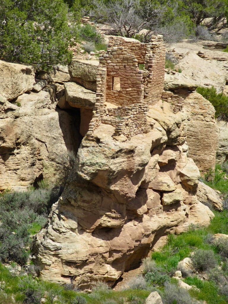
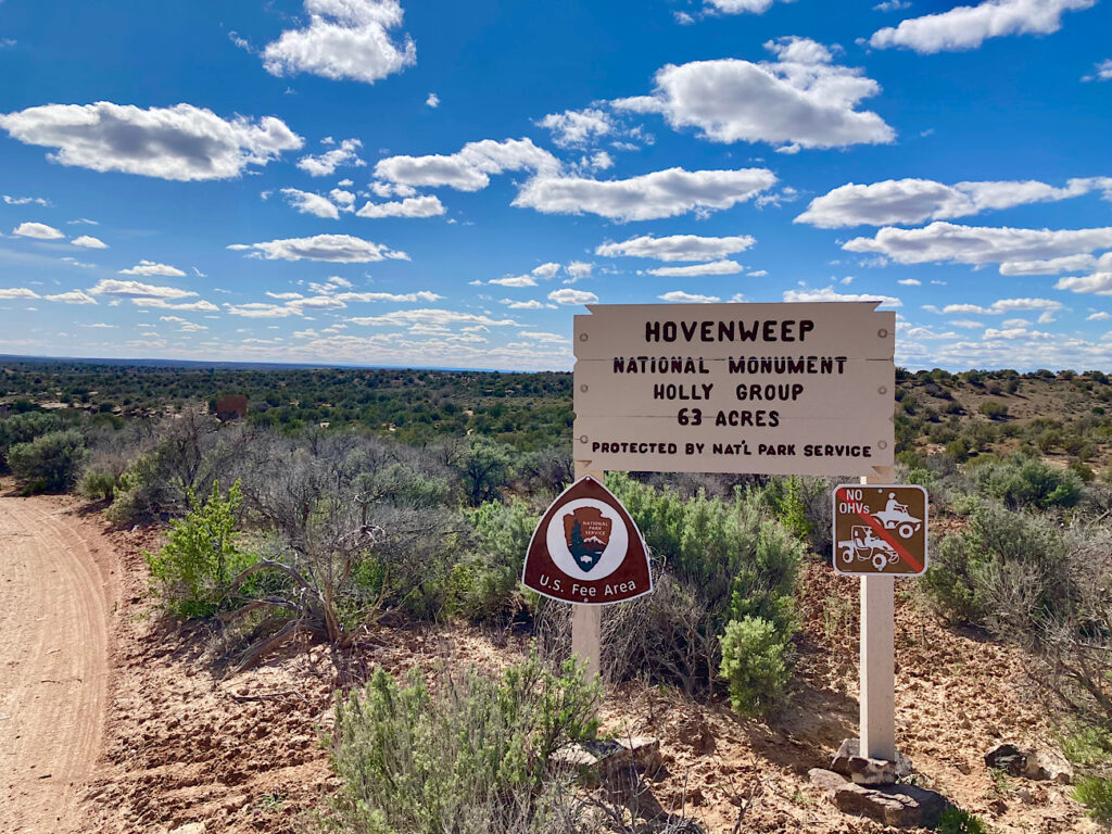
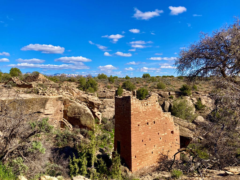
The sun is sinking lower in the sky and the light is becoming softer by the time we head into Holly. It’s the perfect golden hour to soak up the sight of red stone towers perched precariously on boulders and canyon rims.
The structures are built with precisely shaped and smoothed stones quarried from the nearby sandstone. Mud used as mortar stills holds many of the walls intact – more than 700 years after the Ancestral Puebloans abandoned these canyons.
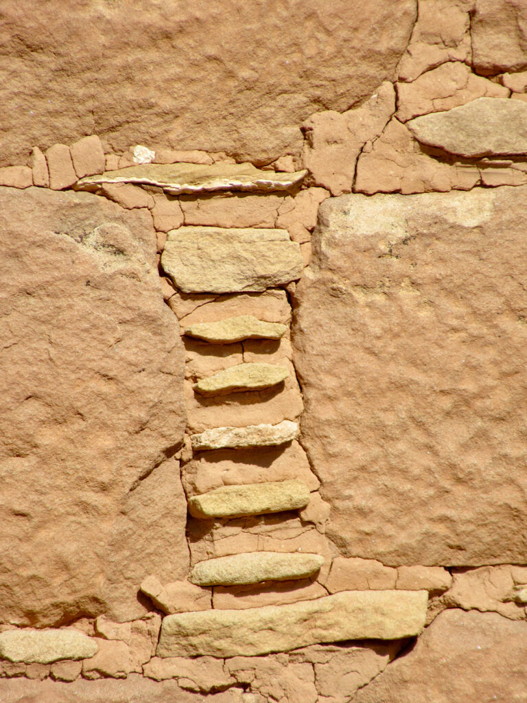
Walking out to the short path to the petroglyph panel below, we soak up the vista and then focus on the spirals carved into the boulder below. At the summer solstice, light comes through and strikes the spirals. It does this year after year, for silent centuries now.
We back to the truck without saying a word.
Hovenweep abandoned but never forgotten
Why was Hovenweep – and its tower communities – abandoned by the late 1200s?
Water – or rather lack of water after a prolonged drought – was a key factor. Springs dried up, resources became scarce, and it’s thought that internal conflict grew. The Ancestral Puebloans left the canyons of the Cajon Mesa and much of the Four Corners. They didn’t disappear, however, they just migrated to New Mexico and Arizona.
Today, visitors from the around the world come to Hovenweep National Monument to witness the enduring presence of the Ancestral Puebloans.
If you love this post, check out Exploring Cedar Mesa’s Moon House Ruin
(not far away as the crow flies!)
Hovenweep National Monument turns 100 in 2023
Established in 1923, Hovenweep is celebrating its centennial anniversary of national monument status in 2023. Special events include:
- Summer solstice celebration from June 18-24 (watching the Holly Solstice Panel in action with a ranger)
- Founders Day & National Park Service birthday on Aug 25
- Astronomy Festival September 15-17 (with extra programming to celebrate Hovenweep’s dark skies)
- Annual solar eclipse October 14 (in the path of total solar eclipse)
When you Visit Hovenweep National Monument in a day… or longer!
It takes about an hour to reach Hovenweep whether you’re driving in from Cortez, Colorado or Bluff or Blanding [add LINK to Edge of the Cedars] in Utah. It’s approximately 42-45 mi ( km) from either of these towns.
The road is now paved all the way, but don’t think that equates to normal highway speeds! There are lots of potholes and the occasional animal on the wrong side of the fence. Give yourself plenty of time.
Watch for the brown signs with “Hovenweep” on them to help you navigate. It’s a winding path getting to Hovenweep no matter which way you come in. Pay attention to the turns!
We came Bluff travelling north on US 191:
- Turn right on US 262 (signed) for 8 miles (12.8 km)
- Head left onto RT-5099 (Hovenweep Rd/Hatch Trading Post Rd) and follow for about 7 miles (11.3 km)
- Turn right onto Cajon Mesa Rd and follow it as it winds across the plateau for 9 miles (14.5 km)
- Take a left onto N-5069 and follow it for 6 miles (9.6 km) before final right turn to enter the monument
Entrance fees
As of June 2022, the entrance fee to Hovenweep National Monument is $20 per vehicle, $15 per motorcycle, and $10 when entering by foot or bicycle. Interagency annual and lifetime passes are also valid for entry.
RV camping at Hovenweep
For those who don’t want to rush their visit – we only managed to see 4 of the 6 villages in our daylong adventure – there is the option to camp in the 31-site campground. Note that sites are on the smaller side. RVs under 36 feet (11 m) only. There are no hookups or dump station. For more information visit the Hovenweep National Monument website.
As an extra bonus, if you spend a night or two, you can hike directly from the campground to Holly. It’s a 7.2-mile (11.6 km) roundtrip hike that starts with a short slot canyon to the valley floor.




Leave a Reply