Interested in hiking in Tombstone Territorial Park in Yukon Territory, Canada? From an easy stroll up Goldensides to bushwhacking up to Alpine Lakes to wandering Grizzly Ridge for stunning views of the namesake Tombstone Mountain – we’ve got something for every hiker. Whether you’re into hiking adventures that are not too hard, want to push yourself, or simply want to go where you can find some of the best Tombstone views, this post has it covered.
Disclosure: This post contains affiliate links. If you buy something from one of our affiliates, we receive a small commission at no extra charge to you. Thanks for helping to keep our blog up and running!
Table of Contents
Hiking in Tombstone Territorial Park
Hiking in Tombstone Territorial Park can be a wild adventure. It is a remote area with few established trails. Route finding and navigation skills are often necessary. The terrain can be rough. Weather can make it even rougher.
Wildlife encounters are always possible. Tombstone is home to caribou, Dall sheep and wolves. It is also prime bear terrain. Both black and grizzly bears are found here. Be bear aware, make noise and carry bear spray.
There are only five established day hiking trails within the park. These include:
1. Beaver Pond
2. Grizzly Trail to Monolith viewpoint
3. North Klondike
4. Goldensides
5. Hart River Winter Road
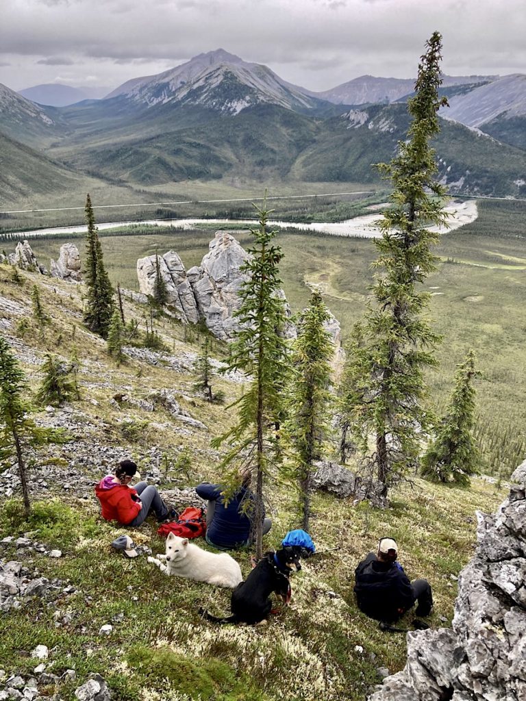
We did a mix of hiking adventures – from established trails and hiker beaten paths to random wandering with a dash of bushwhacking. Below you’ll find our trip reports from Goldensides to Grizzly Ridge and beyond!
Want even more Yukon hiking adventure ideas? Check out these posts:
- Exploring Tombstone Territorial Park, Yukon Canada
- Yukon Adventures: Finding Stories Tall & True
- Backpacking in the Yukon: Bock’s Lake
- Hiking the Chilkoot Trail: Historic Gear Checklists
Wandering up Goldensides
Construction delays, rough roads and traffic on the drive up the Klondike and Dempster Highways behind us, we quickly set up in the Tombstone Mountain campground. It’s only four o’clock. Time for a walk to stretch the legs!
Our girl suggested Goldensides Trail – a short 4-kilometre (2.5 mi) return walk with only 210 metres (689 ft) of elevation gain. It is one of the most popular hikes in Tombstone. Goldensides is close to the campground, signed and easy to follow and it’s a perfect introduction to the wonders of hiking in Tombstone.
Find your next trail!
Check out the AllTrails App!
We drove up to the pass from the campground, turning right into the parking area with trailhead sign. If you’re feeling energetic and have time, you can also walk to this trailhead from the campground.
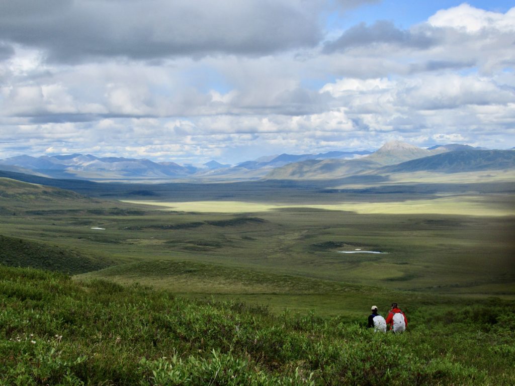
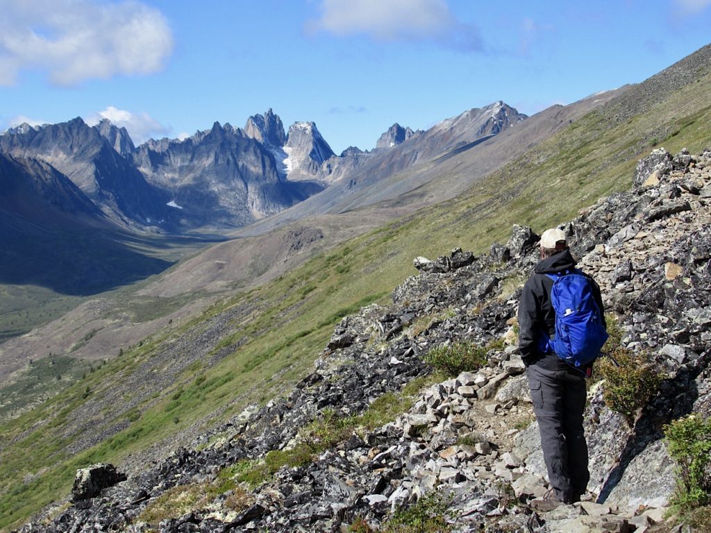
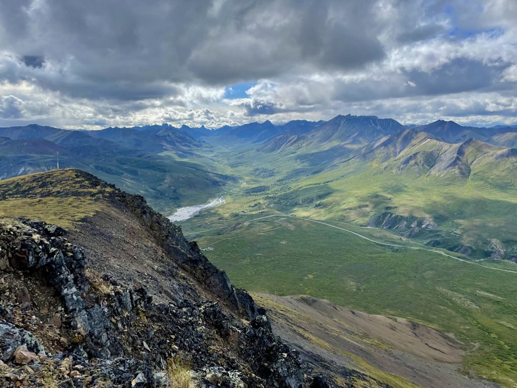
On the short stroll up to the microwave tower, I couldn’t resist snapping photos of the North Klondike Valley and the impressive peaks – including the namesake Tombstone – in the distance.
The trail is easy to follow as it works its way up to a small ridge below and to the north of Goldensides Mountain. Brad opted to scramble up to the summit for more exercise. My girl and I continued up the trail 1.5. km (~1 mi) to a fork in the trail.
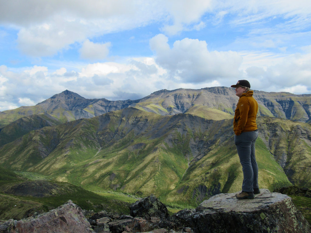
Views from rocky outcrop on the right are drool-worthy! We continued up the left for to the end of a small ridge for views overlooking Black Shale Creek and on up to Mount Robert Henderson before heading back down.
Exploring Surfbird
A morning sprinkle of rain gave us time to sip our coffee slowly and let breakfast burritos digest. As the clouds moved off, we loaded up and drove to road distance marker Km 98 where a short but bumpy spur road leads up to a microwave tower and the trailhead.
Although there was no one else at the trailhead, we turned the truck around and parked out of the way. It’s a cramped parking area with not much room for large vehicles. Batting mosquitoes – seriously the only ones we encountered in this number in the middle part of August – we jogged up the soggy trail.
On to the summit
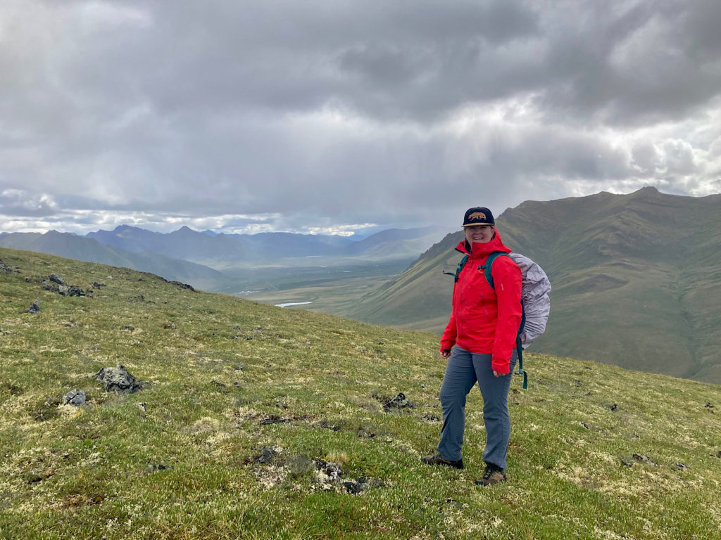
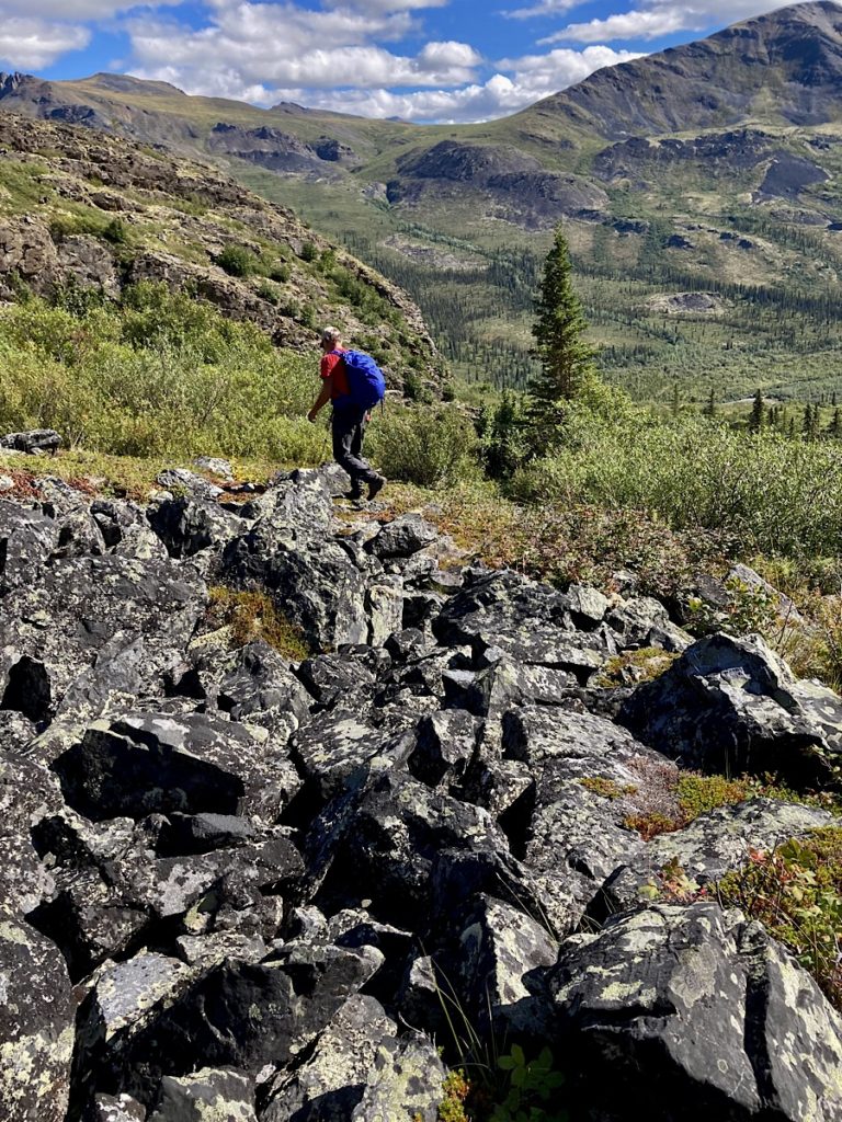
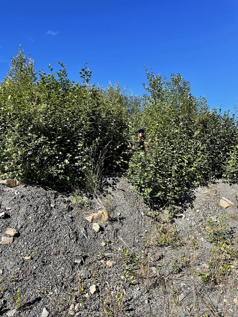
Summiting the first low ridge, we struck out left towards the summit. The trail disappeared and we carefully picked our way across the uneven tussocks, spongy moss, and lichen patches. We pushed through one willow thicket that was over my head in height.
The steeper hillside with more rock than vegetation near the top made for easier walking. We wandered down and back up a side rib of the peak that we dubbed “Little Surfbird” overlooking the Blackstone River Valley.
Rain and sun and shafts of light and dark provided stellar photo ops! At the summit, a pika said hello. We took time to enjoy the view, have a quick snack and watch two more hikers on their way up. Time to leave – it’s getting crowded!
On our way down, we checked out the ripeness of the cloudberries and blueberries dotting the tundra. By the time we reached the truck we’d only hiked 7.8 km (4.8 mi) with a maximum elevation gain of less than 450 m (1,476 ft), but it felt like we travelled to the highlands of Scotland and back.
Hiking in Tombstone – Who Knew?
This amazing little hike gets its name from the Surfbirds that nest on the rocky edges along the tundra. These shorebirds fly all the way in from the Pacific to find the perfect place to raise their young!
Hiking Grizzly Ridge
We took a day off due to rain, but the next morning shone clear and crisp. So crisp in fact that dew was frozen on the tent. The sun was doing its best to make it a memory. There’s light snow on the tallest peaks. Perfect temperature for a steeper hike! Grizzly Ridge here we come.
The parking was a bit of a shocker – close to 20 vehicles. Then again, shouldn’t be surprised. This is the only official trail in the park leading to 2 backcountry campgrounds. After Goldensides, this is another trail highly recommended by staff at the interpretive centre.
The Trail
We start out on the wide, open shale path. It’s a highway… that sucks you in! The trail surface soon becomes rocky, rooty and muddy after yesterday’s rain. It winds through a thick forest covered with a mossy floor punctuated with crow berry, bear berries and bunchberry.
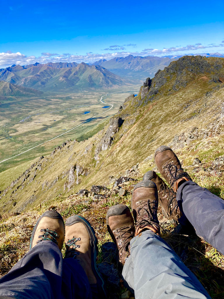
The climb starts to become a little more serious as the forest opens up to dwarf birch meadows and a dry trail. The ridge is steep and rocky, but easy to ascend. We said hellos to the couple of day hikers who got an early start and made our way past the Monolith/Grizzly Lake lookout to a ridge overlooking a grassy pass and White Crown Mountain.
Does this scenery ever lose its appeal?
We scanned cliffs and distant meadows for signs of Dall sheep and caribou and grizzly bears, but they were all taking a day off. A lone marmot was on duty, though!
Grand totals for people passed during the day were 15 backpackers and 24 dayhikers. It took less than 2 hours to trip down the 5.1 km (3.2 mi) back to the parking lot, with an elevation loss of close to 790 m (2600 ft).
Ascending Angelcomb
How can you go wrong with a name that holds so much whimsy and character?
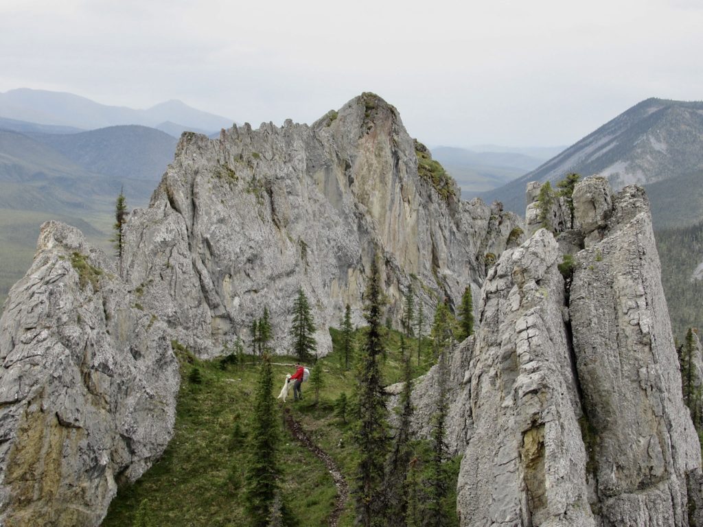
We found the path on the righthand side of the gravel pit at Km 81. It was a sunshine-y, light and breezy kind of day. Heading up through the brush on a well-beaten path, we could see almost the entire route ahead. It’s a fun ridge climb all the way up to Angelcomb Peak, passing rocky spires – or tors – along the way.
While it is important sheep habitat for lambing from mid-May to the end of June, we didn’t see any sign of Dall sheep in mid-August.
In this 6 km (3.7 mi), 590 m (1936 ft) elevation we saw one couple, a family of four and two older gentlemen “making the most of this cruddy weather!” Hiking in Tombstone was fit for angels on this glorious day.
Alpine Lakes Adventure
The guidebook notes that this is a moderate hike. I’m not sure how they came to that designation. It’s a challenge at the start, a challenge at the end and uphill in the middle!
The first section attaining the ridge on the way up and the last section coming back down to the vehicle is – in a word – difficult. There is no trail that we could find. There are routes and occasionally we ran across section where you could see that some people had been before. It took us 3 1/2 hours to get up to the lakes viewpoint and 2 1/2 hours to come down – and it was only 4 km (2.5 mi) with 760 m (2,400 ft) elevation gain/loss each way!
We found the old road – really overgrown with an indistinct trail. Couple small creek crossing. At the two-rock cairn we started climbing up the slope. My enjoyment level dipped to 1 out of 10 – and that might be generous. Looking back from highway on way back to camp, we should have kept angling right around largest rock outcrop and followed blocky scree rock slope up – but hindsight is always 20/20.
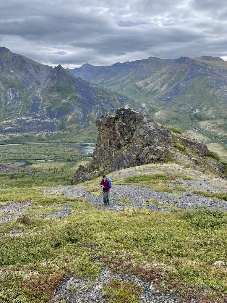
Onwards and Upwards!
Once we reached the actual ridge, it was much easier. Climb, climb, climb through the blueberry patches – heaven! More rocky patches, soft squishy mossy sections and then we break out onto the upper plateau. No caribou, but there should have been! Lots of trails and some droppings.
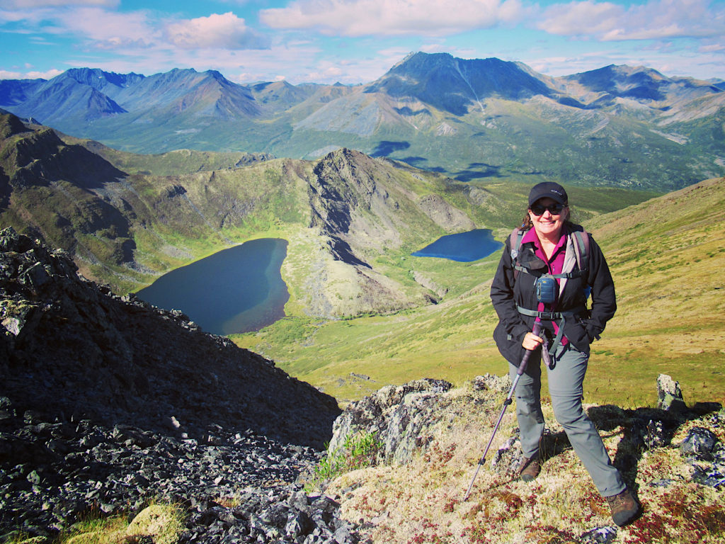
Up a little higher and then we’re looking down on Alpine Lakes – much bigger than expected. Biggest almost the size of Ribbon Lake in Kananaskis – about 500 m (1,640 ft) long by 200 m (656 ft) wide. The second lake was less than half the size of the first.
We look across at White Crown on the North Fork of the Klondike. Cathedral Mountain with what looked like folded arms lay to west. Tall, dark, and imposing Frank Rae stood ground further northwest.
Return route choices
On the way down, chirping Alaskan ground squirrels kept us entertained as we descended the plateau, side-hilled across the slope and scampered across slabs of rock. Back to “trail” … ummm… “route” we bushwhacked along a creek running beneath the blocky boulders under our feet.
Brad kept saying “this is kind of fun.”
I kept thinking “this is why he has adventure days on his own!”
The willows were well over Brad’s head. Occasionally we’d stumble across a game trail for a few minutes. It would disappear and we’d be back to pushing our way through the thickets , branches slapping me in the face.
A few words as we discussed where the “meadow” we’d seen was in relation to us. Brad led us in to bottom end. I’d have sent us bushwhacking longer to hit the top. All good. We came out on rocky bluff. and could see the gravel parking lot vehicle below. So close.
A half hour and a few more willow, dwarf birch and alder thickets later we dropped into the gravel pit parking area.
Whew!
I’m a little tired… happy with this rugged, outdoor adventure… but tired.
Chugging Up Charcoal Ridge & Checking out Klondike Trail
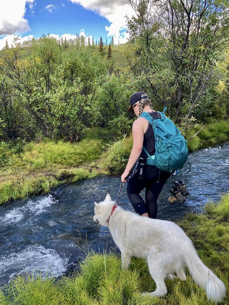
We all headed out from camp with our water shoes already on. Taking the trail marked by the big rock cairn on the right-hand side of the road, we followed the beaten path down to the creek. It was an easy – if chilly – mid-calf high crossing.
Save up to 35% off on shoes and sandals from Brooks, Teva, Keen and more!
Decision time. Like most routes in the park, this one isn’t marked. Which side path should we take? For future reference, take the one leading up the middle ridge. Brush, soft moss, and lichen muskeg uphill – oh joy! Path disappears as we work through brush up middle slope angling to 3rd ridge. We didn’t – but did eventually link up with the main route.
At about the halfway elevation point, the oldest dog decided this was enough and simply laid down and refused to move. Brad continued the hike up to the summit of Charcoal Ridge and on to Discovery Ridge. He’s enamored with hiking in Tombstone.
Back at camp, my girl and I had a quick snack and we headed out on the North Klondike Trail just down from our campsite between site 18 and 19. A relatively flat, 3.2 km (2 mi) this trail makes for a great family-friendly adventure winding beside the river before climbing up through the dwarf birch meadows to views of the valley and surrounding peaks.
More Hiking Near Tombstone: Sapper Hill
We took a day to drive up the Dempster about an hour and a half into the Olgivie Range. The mountains become more rounded, but no less inviting to hikers! We drove past the reddish-orange colour of Engineer Creek. The trailhead is immediately after the bridge on right between Km 194 and 195. The trail heads straight up for Sapper Hill.
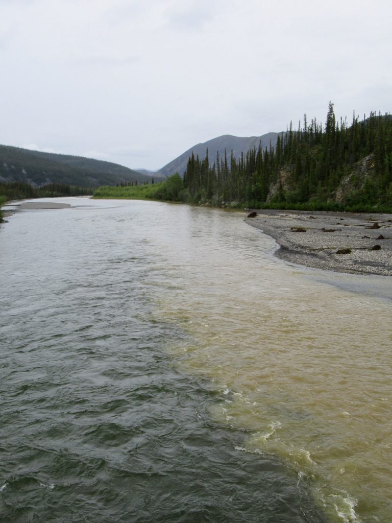
The hiker made trail winds up through subalpine arctic forest with stunted spruce, lichen and moss. More blueberries! And wild strawberries just off parking area. Wet springs trickle down along hillside – meaning a little bit of mud with the climb.
We reached the first rock towers in under an hour. After requisite photos in the gaps between the two stone pillars we continued up on the lefthand side of the ridge.
When the trail cliffed out we stopped for lunch overlooking the Dempster and a massive side wetland drainage emptying into the Olgivie River.
Our guidebook said 4 km (2.5 mi) distance with 340 m (1,100 ft) elevation gain. We didn’t measure distance on this day but did climb around 300 m (1000 ft).
What’s in a Name?
“Name’s are the pegs from which history is hung.” – Henry Schoolcraft
Love that quote. In the Gwich’in language, Sapper Hill is called ‘Divii Ddhaa’ which means ‘Sheep Mountain.’ The name Sapper Hill is more recent. In 1971, the Commission of the Yukon Territory requested the name Engineer Creek to honour the Royal Canadian Engineers who built the bridge over the nearby Olgivie River. “Sapper” is a nickname given to army engineers. It stems from medieval days when the job of army engineers required digging “sapps” or tunnels.
When You Go
So many place names, so many stories, so many hikes, so many outdoor adventures in Tombstone Territorial Park! Be sure to pick up a good guidebook to help you fill in the big picture on your travels to hike in Tombstone.
The Yukon Hiking Guide Book lists other hiking adventures in Tombstone that may involve both good navigational skills, route finding and various degrees of bushwhacking (their website is another great resource).
Love hiking? Check out the idea of National Take a Hike Day – and create your own hiking holiday!
Love the Yukon? Check out our canoe trip on the Nisutlin River!


I’ve never been hiking in an area like that. So pretty!
It is a gorgeous part of Canada to hike!
I see your post was written in September (of 2022) what time of year were hiking? I would have thought there would be some colours on the slopes , or snow! We are planing to go in early august of this year but we are getting feedback that it is too early to see the beautiful red/yellows and oranges of the fall foliage.
Thanks for any input
Christine
Hi Christine,
That trip was taken in early August (often trips are taken well before the blogpost is published). There was some very minor colour changes but you won’t start to see the brilliant colours until late August or early September.