Hiking in the Crowsnest Pass? The Promised Land is calling your name! No, seriously, there’s a trail called the Promised Land, or Ptolemy Plateau, or Seven Bridges. Regardless of what you call it, this trail’s destination is a little slice of heaven here in Alberta’s Southern Canadian Rockies – and it’s #11 of 12 in our Blogmas travel adventure series.
Disclosure: This post contains affiliate links. If you buy something from one of our affiliates, we receive a small commission at no extra charge to you. Thanks for helping to keep our blog up and running!
Table of Contents
Where is Crowsnest Pass and the Promised Land?
The Crowsnest Pass is a low pass between Alberta and British Columbia. It lies about 260 kilometers (160 mi) southwest of Calgary. Crowsnest is the southernmost route through the Canadian Rockies.
Hiking adventures abound in this patch of paradise – although many routes tend to be a little more rugged than their north Rockies counterparts. That being said, the Ptolemy Plateau is the Promised Land.
The plateau lies on the western flank of Mt. Ptolemy – the tallest peak (2,815 m/9236 ft) in the immediate vicinity of Crowsnest Pass. Access involves driving 11 km (6.8 mi) west of Coleman on Highway 3 and then 3 km (1.8 mi) south on the gravel road paralleling Crowsnest Creek. From here it’s all about the hike.
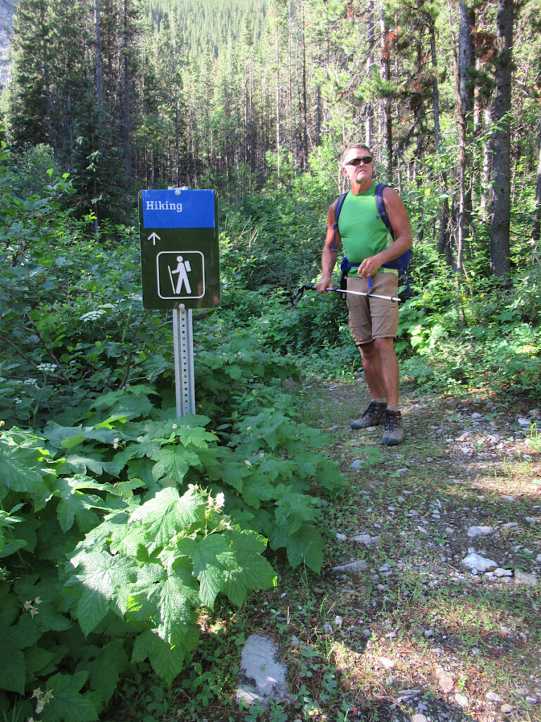
Hiking into the Promised Land
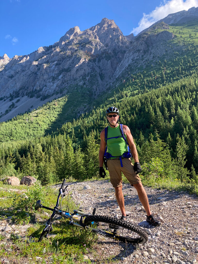
Well… actually, you could hike it all, but the first 6 kilometres (3.7 mi) follows an old road – overgrown and rough in places but still a wide, flattish route. Knowing this, we decided to do a combo bike and hike.
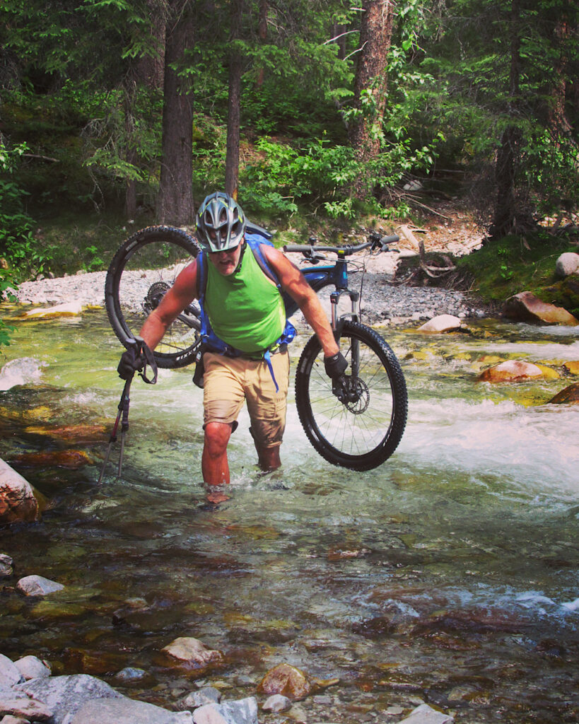
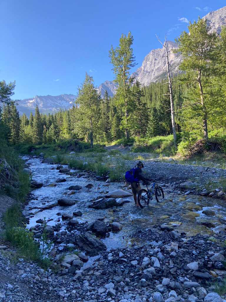
The first thing you should know about this hike into the Promised Land – also known as Seven Bridges – is that there are multiple creek crossings, but not a single bridge to be found. In mid-July, the water level was running quite high and cold. It’s fun, for the first couple crossings… and then just cold!
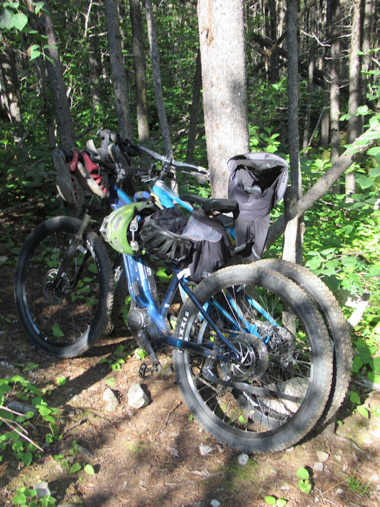
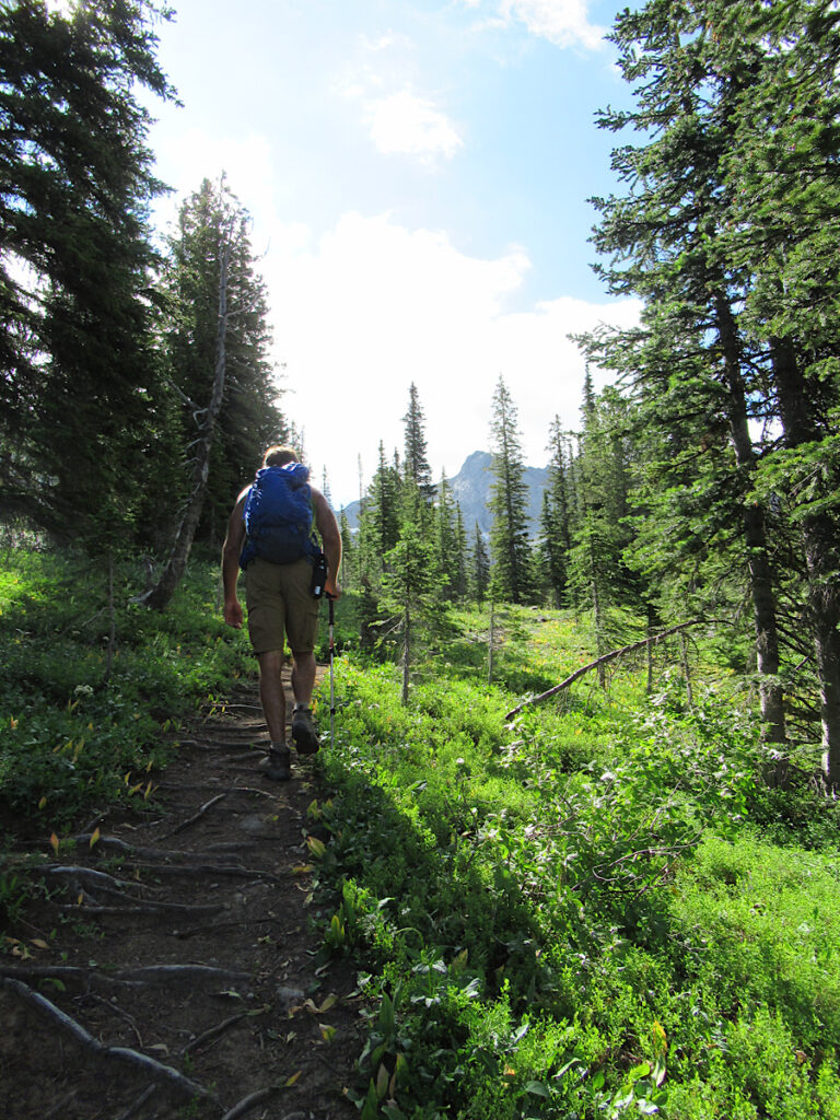
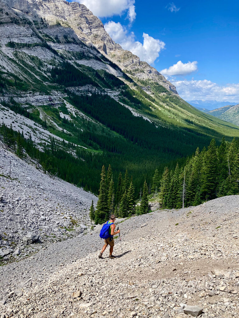
Ditching the bikes, we grabbed a quick snack before heading up… and up… and up the steep headwall (426 m/1400 ft elevation gain in 2 km/1.2 mi) to the start of the rocky meadows of the Ptolemy.
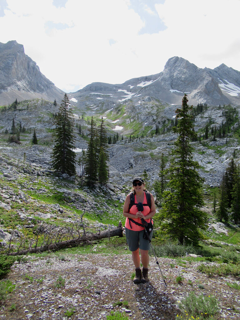
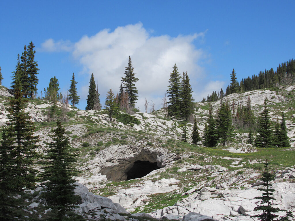
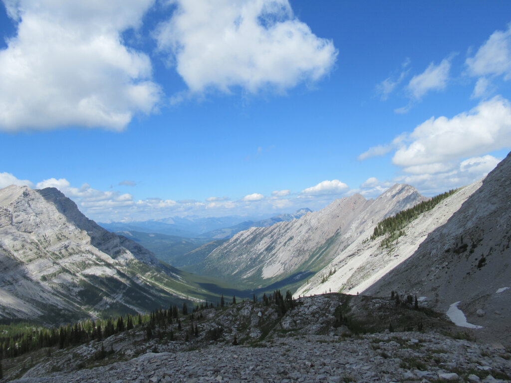
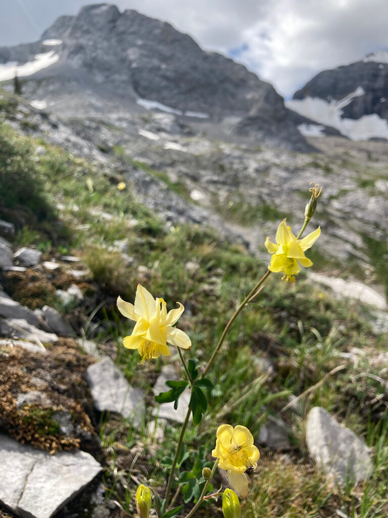
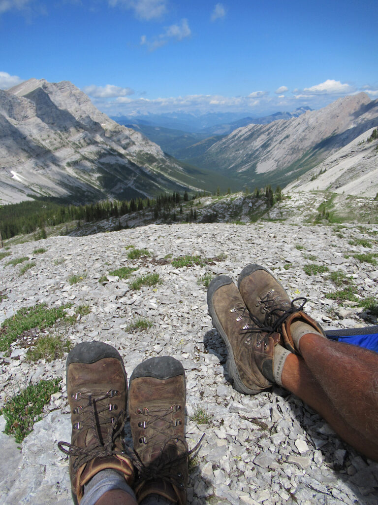
We climbed another 120 m (394 ft) in elevation over the next 800 m (2625 ft) past several small cave openings – the Ptolemy Plateau is renowned for caving – before finding the perfect lunch spot. Sitting back surveying the valley and peaks, sun beaming down, in a field festooned with summer wildflowers, watching a goat climb below a rocky arch on the rocks high above, we thought, yes, this is the Promised Land.
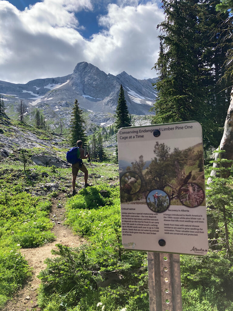
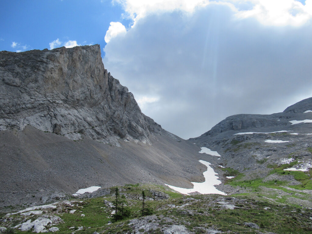
Pictures don’t lie – check it out for yourself!
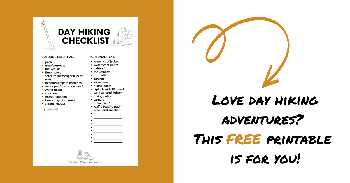
Need a day hiking checklist before you head out? Here’s a free one as thanks for taking the time to read our blog!
Explore Crowsnest – More Adventures
Looking for more outdoor adventures in the Crowsnest Pass? Check out this list of 10 cool things to do in the Pass. Or try cycling the 23-kilometer (14.3 mi) Community Trail. Maybe take a chilling walk through the Hillcrest Mine Disaster Memorial Park. Beat the heat with a stroll up to any one of three popular waterfall hikes in the Crowsnest.
Leave a Reply