Hiking in Organ Pipe Cactus National Monument – again! In the past we’ve done easy walks like Desert View Trail near Twin Peaks campground, stretched our legs on Red Tanks Tinaja Trail and gone for the gusto ascending Mount Ajo in one long day. This time round, we had three completely new-to-us hiking adventures. Read on for all the juicy details!
Disclosure: This post contains affiliate links. If you buy something from one of our affiliates, we receive a small commission at no extra charge to you. Thanks for helping to keep our blog up and running!
Table of Contents
Hiking in Organ Pipe Cactus National Monument
The first time we went with friends, we were the ones who suggested Organ Pipe Cactus National Monument for camping and hiking adventures. This time, it was they who suggested we all go back again!
Southern Arizona RV travel is off-the-beaten-path adventure!
We hesitated briefly because we weren’t sure there was that much that we hadn’t already experienced on previous trips to the monument.
I don’t know what we were thinking!
New hiking adventures were planned, and Organ Pipe Cactus National Monument delivered in style.
Safety Precautions & Good Advice for All Hikers in Organ Pipe Cactus National Monument
- Carry and drink plenty of water – at least one gallon per person per day.
- Wear sunscreen and protective clothing.
- Bees are present around water. Do not swat or try to kill bees, they may swarm.
- Desert vegetation is prickly – carry tweezers to remove spines.
- Flash floods occur instantly and are dangerous. Avoid washes when rain is threatening.
- Do not put hands or feet where you cannot see as snakes, scorpions and spiders often hide there.
- Hike with a partner and let someone know where you are going and when you expect to return.
- Cross-border activity may occur. If you encounter someone or a group traveling with backpacks, bundles, or black water bottles, do not make contact. Report suspicious activity or people to ranger or call 911 if you have a phone signal.
Find the outdoor gear you need at MEC!
A Little Hike Along Puerto Blanco Drive
Nothing like a little 41-mile (66 km) drive around the Puerto Blanco Mountains when day dawns and clouds obscure the sun. New area for all of us and it’s the perfect time to explore another side of the monument.
The website was a little confusing, talking about needing 4-wheel drive and the possibility of getting stuck in loose sand in the washes, so we stopped in at the visitor centre to get current road conditions. The ranger said it in good shape. Rains had packed down the sand and the road had even been graded recently.
What are we waiting for – let’s go!
Exploring Dripping Springs Trail
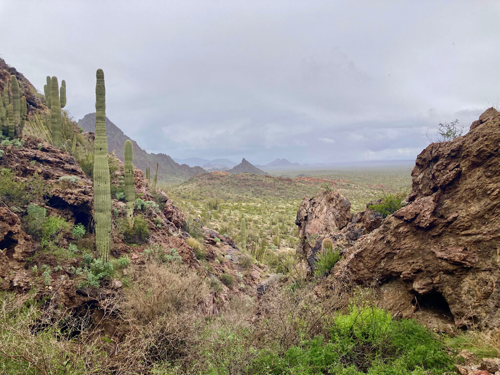
The first half of the drive, along the base of the rugged Puerto Blanco Mountains is super scenic. The narrow road turns to one-way after the Red Tanks trailhead. Continuing to Dripping Springs, we set out for a short walk with umbrellas to stretch our legs.
The historic old road from the trailhead to the Dripping Springs base of the volcanic mountain is a flat easy walk. At the base of the mountain, the trail gets steeper – rising 160 feet (260 m) to the springs and another 200 feet (60 m) or so as it jogs up toward the ridgeline.
At the level of the spring the trail splits: to the right leads to the spring. The shallow cave with its small, cloudy pool was tucked in the curve of the Puerto Blanco Mountains. Numerous shallow caves dotted the slope. The spring was used as a water stop for thousands of years.
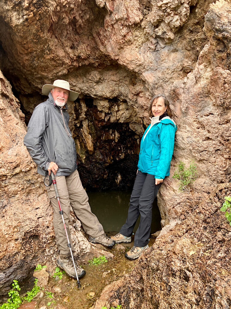
We looked at the low pass above and even though the short sections of slickrock were wet, but it looked doable. Just after the trail splits there is a broad view of the Valley of the Ajo. At the ridge, there are views of the Ajo and Diablo Mountains across Valley of the Ajo to the northeast. To the south across the La Abra Plain are the Cubabi Mountains in Mexico.
Quitobaquito or Bust!
Continuing the drive, we headed to Quitobaquito. This historic water source has been used for thousands of years. It’s been “upgraded” over the past century or so – the latest being an effort to replace the clay pond liner. All the vegetation was removed, and it looks more like a swimming pool than a natural pond. Hopefully it comes back to life.
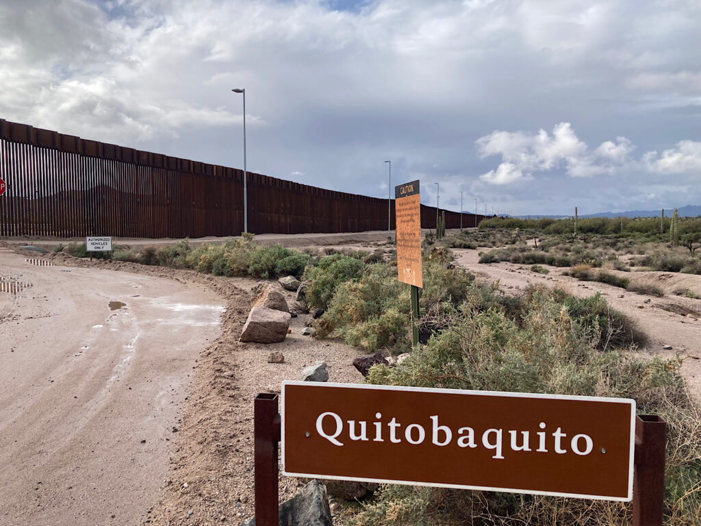
The route along the rusting hulk of the border wall heads towards Lukeville and the paved highway back to camp. The circle is complete.
Not a bad way to spend a rainy day!
Lost Cabin Mine Hiking Adventure
Sunshine on our shoulders, we hike out from our campsite to the Victoria Mine trailhead. It’s up and down and through the washes ramble towards Victoria Mine. From here it’s all new terrain for us as we continue up over the low pass and down and around to the remains of the Lost Cabin.
The trail is surprisingly busy with other hikers up to the cabin site. Eyeing up the ridge above the mine, we all agree it would make the perfect lunch spot. Finding a random trail, we ascend the high point and munch on lunch while gazing over at Twin Peaks and across as far as Mount Ajo and Diablo Peak.
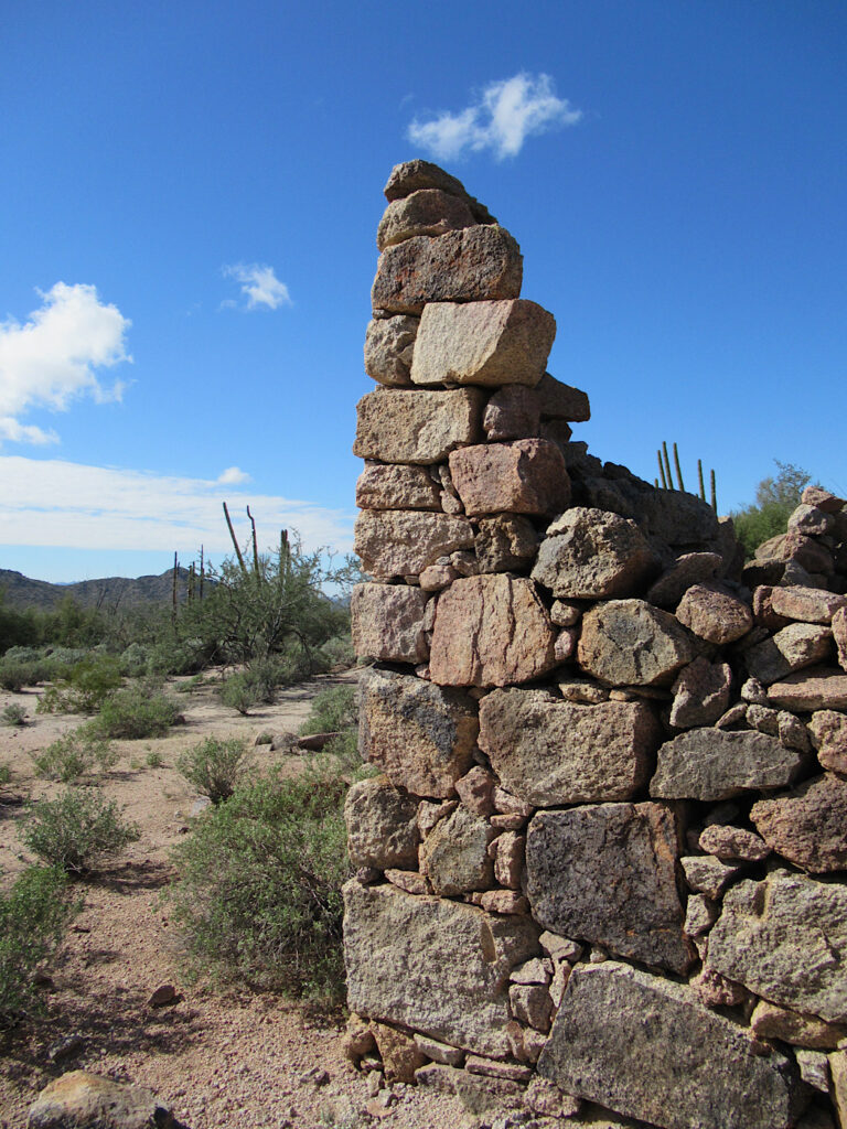
Skittering down to the Senita Basin trails, we walk up to the 3-way junction and then headed cross-country up to the Martinez Mine site. There was a collapsed tunnel, another deep pit and remnants of an old stone wall. Near the deep pit we found a rusty food spice tin.
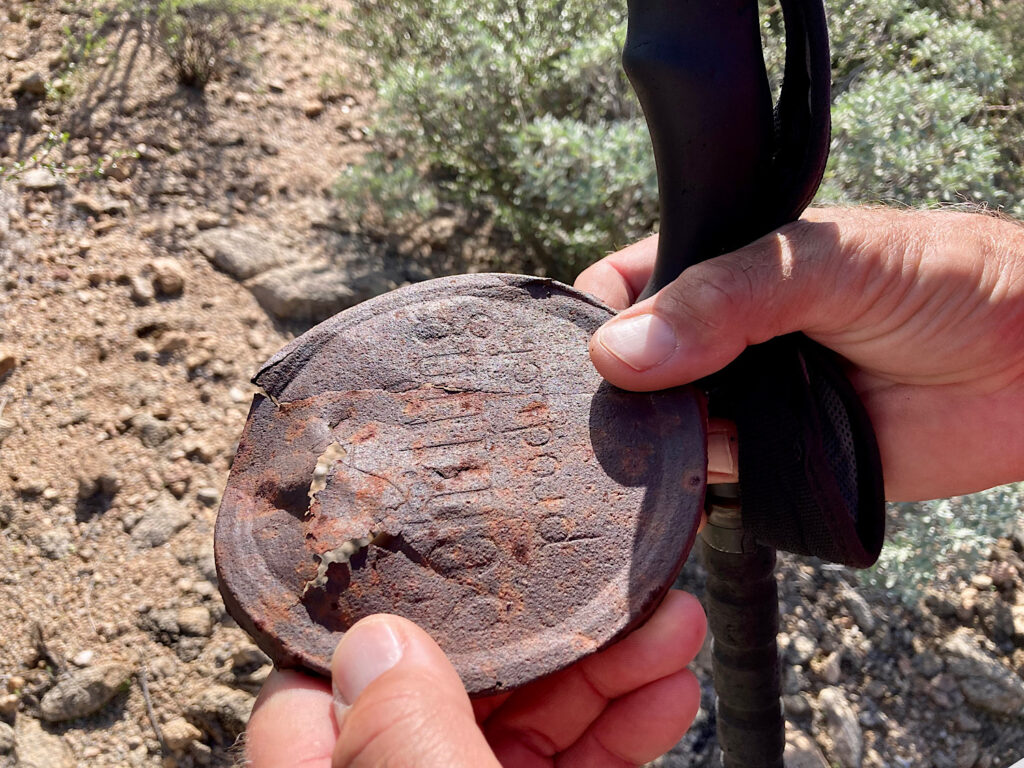
We could explore forever but happy hour is calling, and 11.5 miles (18.5 km) is enough for today.
Looking for even more active outdoor adventures in Arizona? Check these off your list!
First-time Camping at Lake Pleasant | Arizona
Davis Camp in Bullhead City | Arizona
Picacho Peak and Petroglyphs
Review: Arizona’s White Tank Regional Park
Exploring Chiracahua National Monument
Exploring Alamo Canyon
The birds were singing as we headed up the old road heading into Alamo Canyon. Rock formations catch the eyes. Water has shaped the wash. The Tohono O’odham and their ancestors lived in and around what is now Organ Pipe National Monument for more than 10,000 years. This water source would have been as important to them as it was to the ranchers who settled in Alamo Canyon.
Ranching History in the Canyon
Birdie Blair moved from Cloudcroft, New Mexico to Ajo, Arizona in 1909. Her father, John Blair, was one of the first cattle ranchers in the area. The family had a ranch at Gunsight, northeast of what is now the monument. Birdie married Bill Miller in 1913, the same year prospectors came to Alamo Canyon.
The couple moved to Dripping Springs where they began running cattle in the Valley of the Ajo. But Dripping Springs couldn’t provide enough water for their ranching operation, so they moved to Alamo Canyon in 1914. The prospectors, who never struck the motherlode, sold their holdings to the Millers for $750.
In Alamo Canyon, Birdie and Bill built a two-room adobe house, dug two wells, installed a windmill and a cement tank. By 1918 they were running 600 head of cattle. Birdie had her own brand (the KW), was a talented wrangler and hard worker. Records also say that she had a good sense of humor and enjoyed dances at the local Tohono O’odham villages.
End of an Era
Although Birdie loved life in Alamo Canyon, ranching in this remote territory became less and less profitable over time. The Millers sold their grazing rights to the Grays, a local ranching family who ran the largest cattle operation in the area.
Bill wanted to move away from the area completely, but Birdie wanted to stay close to her family. The couple divorced in 1928. Bill moved away and Birdie moved to Gunsight after leasing Alamo Canyon to Henry Gray.
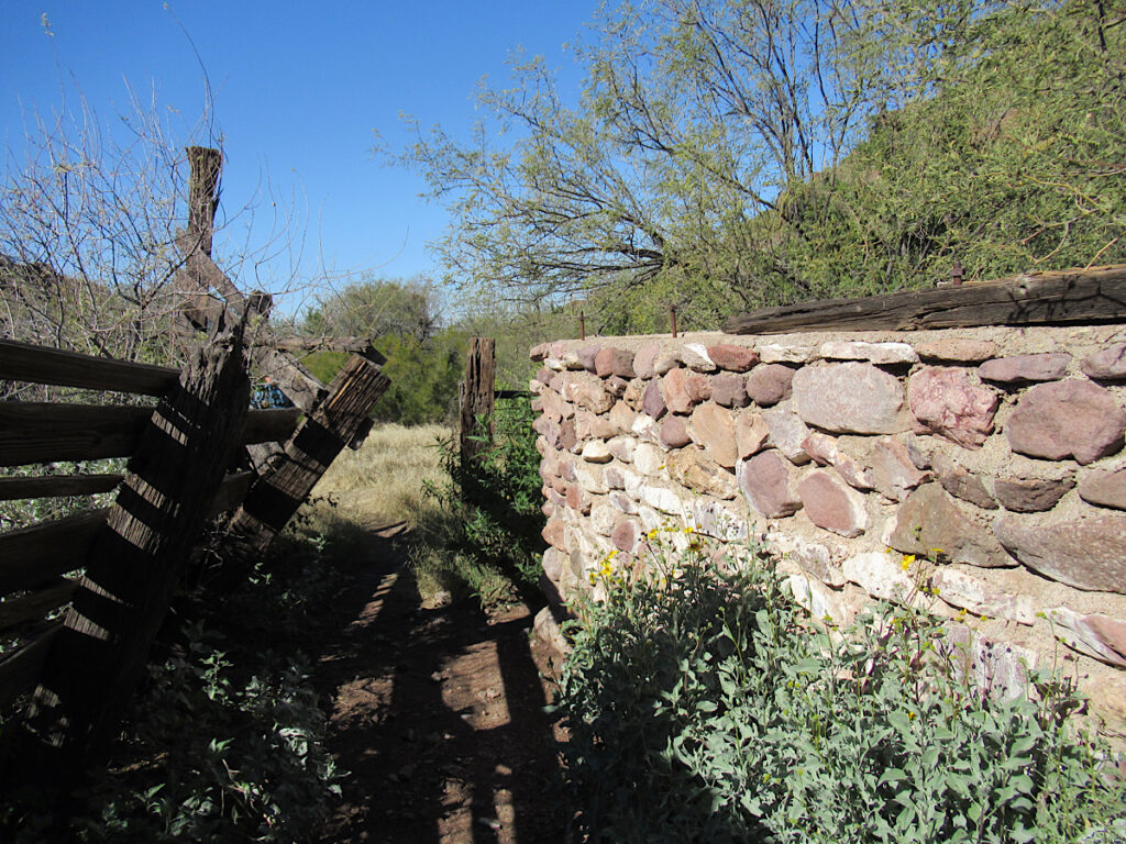
The Grays eventually purchased the Miller’s house and built their own house with fired adobe brick. This is the building remains hikers see today tucked in among the Palo Verde trees. We didn’t notice the remains of an older adobe structures to the left – home of Birdie and Bill.
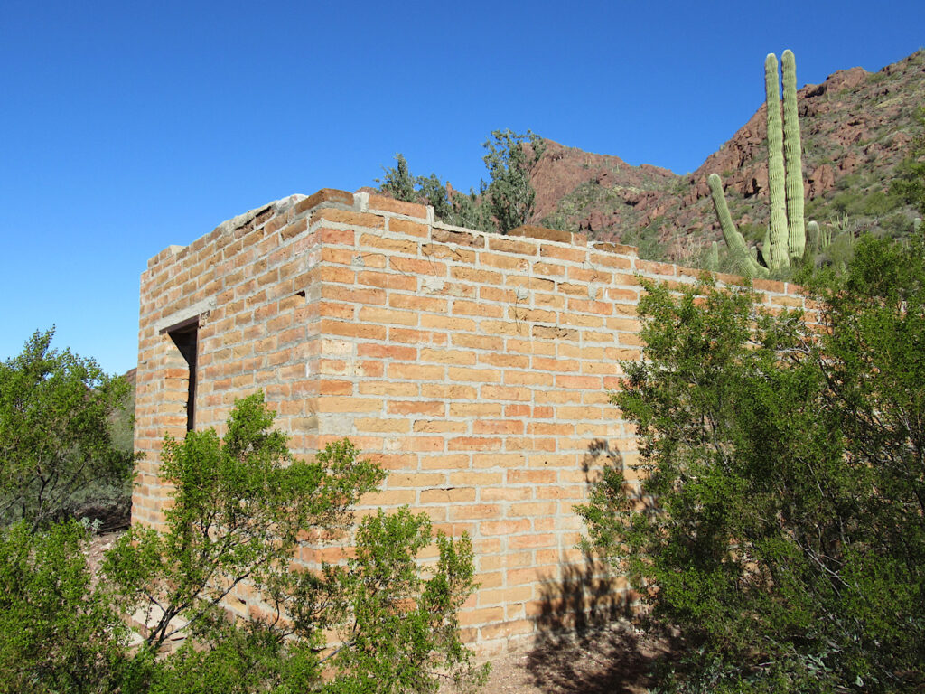
Hiking the North Fork of Alamo Canyon
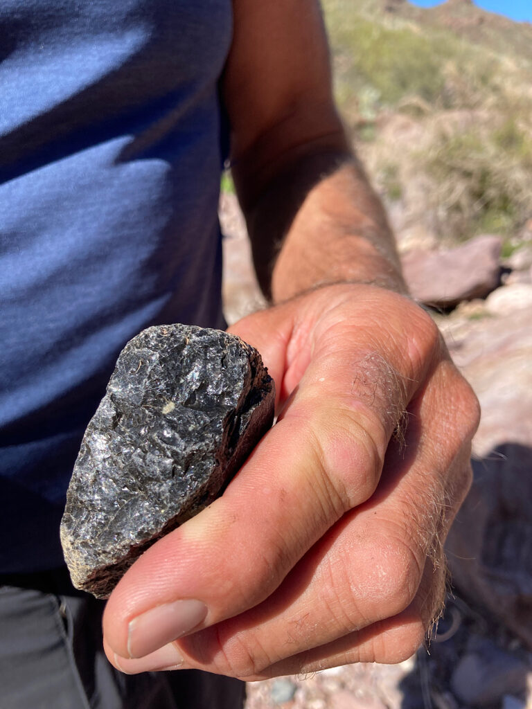
The maintained trail (round trip 1.8 mi/3 km) ends at the corral. Alamo Canyon splits beyond here. We followed the hiker worn path up the wash angling north. As we wandered, picking up bits and pieces of obsidian, laughing at fat barrel cactus growing straight out of bare rock, and listening to the call of the canyon wren, I couldn’t help but wonder if Birdie ever hiked Alamo Canyon just for fun.
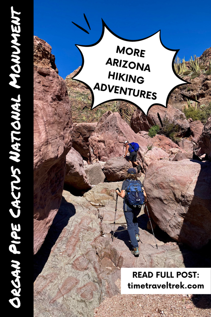
We climbed boulders, navigated dryfalls and hopped over cobbles in the dry creekbed. Water dripped in a partially hidden pool beneath one large rockfall as the stream course took a sharp right bend. The canyon seemed to close in, and we spy an ancient juniper in the wash and several more up on the slopes.
If we’d started early in the day, we might have navigated the rough route up over the pass and down Grass Canyon to make a loop trip. Next time. For now, we turn back, savouring the light shining golden on distant canyon walls.
In total, we only hiked 5.5 miles (8.8 km) out and back – but it felt like we’d been wandered into the past and back again.
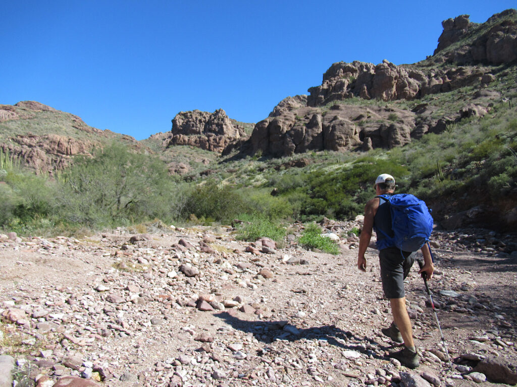
Off-the-Beaten Path Hiking in Organ Pipe Cactus National Monument Towards Sweetwater Pass
With one more day to hike before packing up and heading to Tucson, we hauled our guidebook (Hiking Arizona’s Cactus Country) and started planning. Hmmm… the Sweetwater Pass trail description say to “keep an eye out for signs of ancient Indian culture. Round mortar holes in the bedrock aided the grinding of seeds, and circular arrangements of boulders indicated sleeping areas.”
A treasure hunt – we’re in!
A word of advice: don’t believe everything you read in a guidebook. Writers are human and humans sometimes make errors.
Following the directions for the Sweetwater Pass route, we headed across US 85 to the Ajo Mountain Scenic Drive and followed it for 13.4 miles (21.5 km) towards pullout #18. Unfortunately, the distance and pullout number don’t match. By the time we are past pullout #15, we realise the trailhead must be back up the road. We are too late. Ajo Mountain Scenic Drive is a one-way loop.
We pull at #16 and start hiking across the desert, angling toward the hills we’d read in the route description.
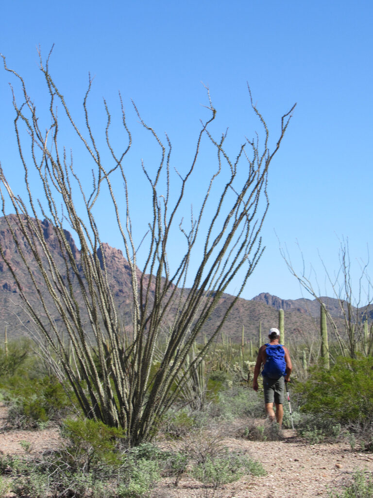
Exploring the Desert near Sweetwater Pass
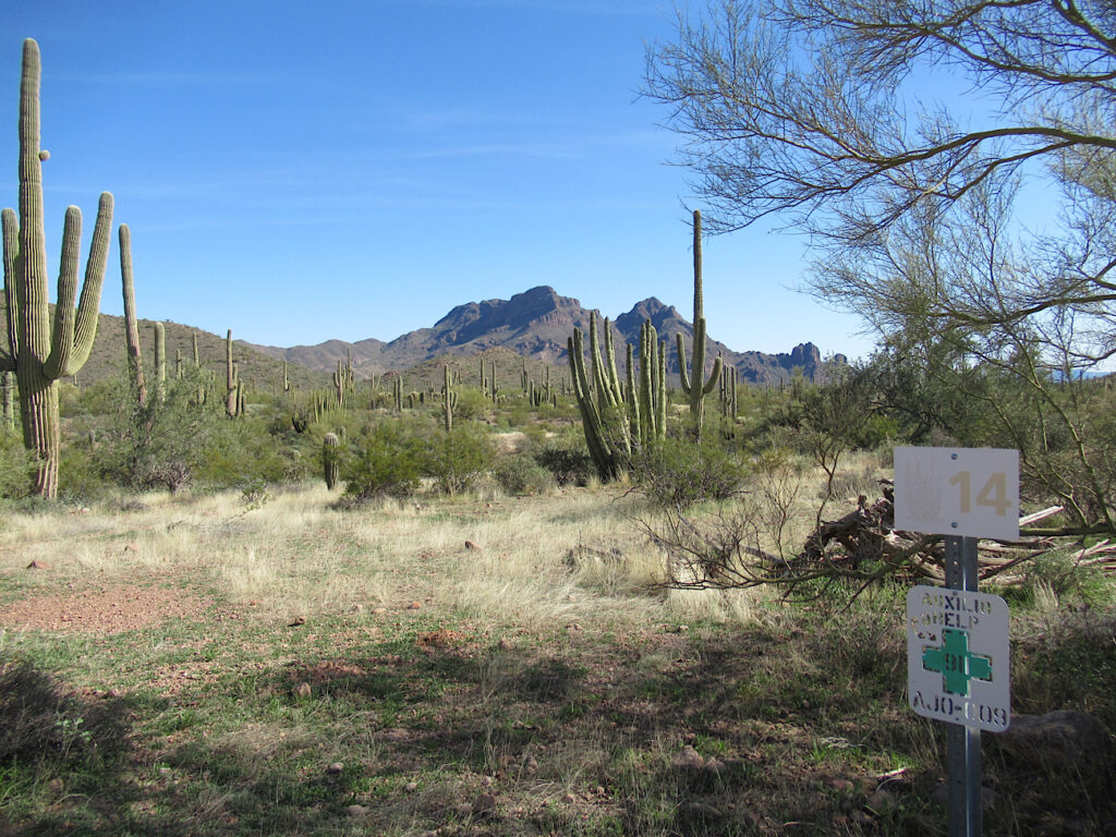
Hiking in Organ Pipe Cactus National Monument is easy across the cacti-strewn desert, until you must cross a thorn-choked wash! There are several on our route. Along the way we come across sun-bleached pop cans and empty glass tequila bottles. When we find the rotting remains of a pair of old denim jeans, it’s sobering. We are walking the route of illegal immigrants.
Crossing a well-worn quad path, we are a bit puzzled. The book never mentions an ATV path anywhere. In fact, it says “the trek to Sweetwaster pass is strictly a map-and-compass route; there are no established paths.” Hmm… must be more recent than our book (publication date 2013). Note that this we’ve used this guide a lot and this is the first time it’s let us down… uh… I mean given us such an adventure!
We angle off the beaten path and continue up to a high point beside the obvious conical hill near Diaz Spire. It’s almost 2 pm now. Time for a late lunch. Pulling out the binoculars while munching on hard-boiled eggs, asiago cheese and Triscuits, we scan the desert. Is that a narrow dirt road going up beside the wash? Huh.
Finding Our Way!
Knowing we don’t have time to wander another mile (2 km) or so up the pass and make it back to our vehicle cross-country, we decide to scramble down to the road and follow it until it turns away from the direction we want to go. A tattered backpack lies in dirt.
In less than ½ a mile, a quad track intersects the road. It’s right where we need to turn. Following it, we keep our eyes peeled for signs of prehistoric remains. Nothing. The ATV route is easy to follow and as we go, we realise that it is on the exact route in as described in the book. We pop out on the Ajo Mountain Scenic Drive – exactly at pullout #14!
In the end we did an 8.7-mile (14 km), figure 8, cross-country adventure hike – but we now know the easy route to Sweetwater Pass!
We’ll be back.
When You Go
Looking for more information about exploring and hiking in Organ Pipe Cactus National Monument? Check out the NPS website.
RV camping is limited in Twin Peaks Campground – make sure you book ahead to avoid disappointment.
Wondering how to keep track of everything? Be sure to read how a digital RV travel planner now goes everywhere I do!




Leave a Reply