Plan on hiking in Northern Portugal? Check out our recent hiking adventures. We set out to explore five of northern Portugal’s parks – including the only designated national park in Portugal – Peneda-Gerês – along with four of mainland Portugal’s natural parks:
- Serra da Estrela Natural Park (Portugal’s largest protected area)
- Alvão (waterfall heaven)
- Serras de Aire e Candeeiros (caves, culture, and dinosaur trackways)
- Sintra-Cascais (monumentally beautiful)
Disclosure: This post contains affiliate links. If you buy something from one of our affiliates, we receive a small commission at no extra charge to you. Thanks for helping to keep our blog up and running!
Table of Contents
Your Guide to Hiking in Northern Portugal’s Parks
How many national parks in Portugal? Turns out there is only one national park – but there are well over a dozen natural parks.
What’s the difference? On the surface there doesn’t appear to be obvious differences. But natural parks include access through private properties or in baldios (communal, though not public lands). Most hikers and other park adventurers won’t notice much variance between the country’s national and natural parks.
Portugal has been inhabited – and altered – by humans for millenia. You just have to look at the rock art in Coa Archaeological Park. Here you get a feel for the incredible scope of human habitation in this country. Parks are a relatively new addition.
In this post we’re going to explore Portugal’s only national park – Peneda-Gerês. We also feature four of Northern Portugal’s natural parks (Serra da Estrela, Alvão, Serras de Aire e Candeeiros, and Sintra-Cascais)
Serra da Estrela Natural Park
We wanted to explore Portugal’s mountain parks – and Serra da Estela delivered. It’s home to the highest peak of mainland Portugal – Torre rises 1993 m (6539 ft) above sea level.
Serra da Estrela was one of the first two natural parks – the other being Arrábida – to be created in 1976. It spans over 89,000 ha (almost 220,000 ac) in area.
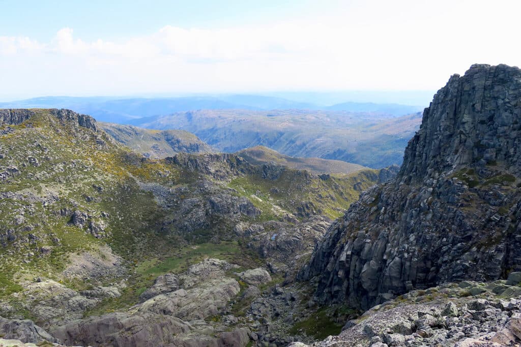
After settling in at our accommodations, we headed out for a short hike. Here’s a tip: don’t be surprised if following Google maps takes you on the more advanced of the two access routes. We got there – but if another car had been coming down the narrow mountainside road… ayyy!
The best access for Poço do Inferno is to up the Zêzere Valley on the main road to Torre. Turn left at the signed intersection just past Caldas de Manteigas. Follow it for just under 6 km to the parking area. We went down this way. There are a few narrow, single-lane sections but at least it wasn’t the whole drive with a serious drop-off on one side!
Hiking Portugal’s Poço do Inferno
Peeling my hands off the seat, we climbed out the car at small parking area. The trail sign was directly ahead. Our plan was to walk the short and “easy” 2.8 km (1.7 mi) loop trail. It navigates around the waterfall which descends the steep gorge of Ribeira de Lenadres.
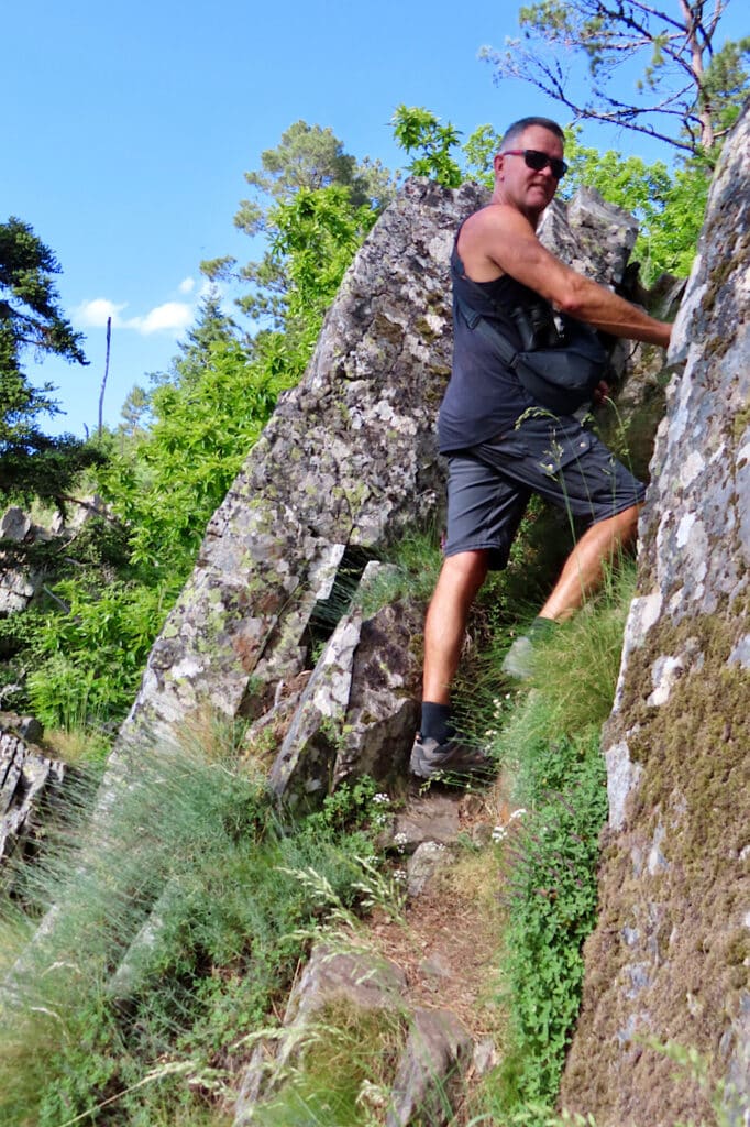
The narrow foot path – marked with red and white painted lines – takes off immediately behind the trail sign. We followed it up the rocky slope before descending the other side to the creek. The wildflowers, forest, beautiful creek, and bit of adventure add up to an excellent short hike.
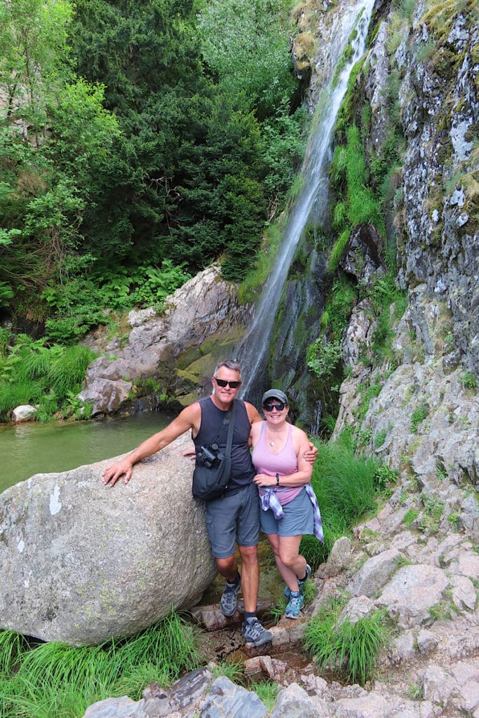
Our little loop ended at the short climb up and down to the 10-metre-high (33 ft) waterfall. Right beside the road, it’s also close to the parking lot – meaning you don’t have do the short hiking circuit if you don’t feel like it.
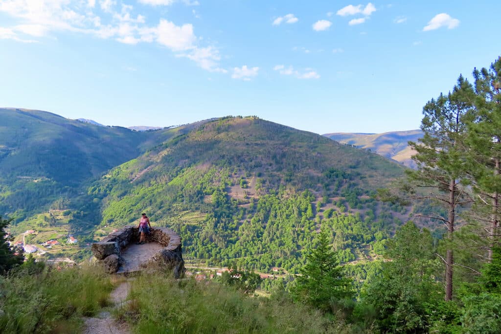
Be sure to stop in at the information center in the old forestry guard house as you get back down to Mantegais. There’s an overview film about Serra da Estrela (available in English) and displays worth taking in for first-time visitors.
Exploring the high country
For our 2nd hike we drove past the Poço do Inferno turn-off and continued up along on the scenic road winding along beside the Zêzere River. There are numerous pull-offs – many with interpretive signage – and we stopped almost every single one. It ate up a chunk of our day but how could we not stop and appreciate the incredible landscape as it unfolded?
Serra da Estrela Natural Park is the second largest protected area in Portugal. The high plateau of the park inclines towards the northeast. The landscape – carved by glaciers – is made even more photogenic by rocky outcrops, boulders and crags. It’s no wonder that this area is also a UNESCO Global Geopark like Tumbler Ridge in British Columbia, Canada.
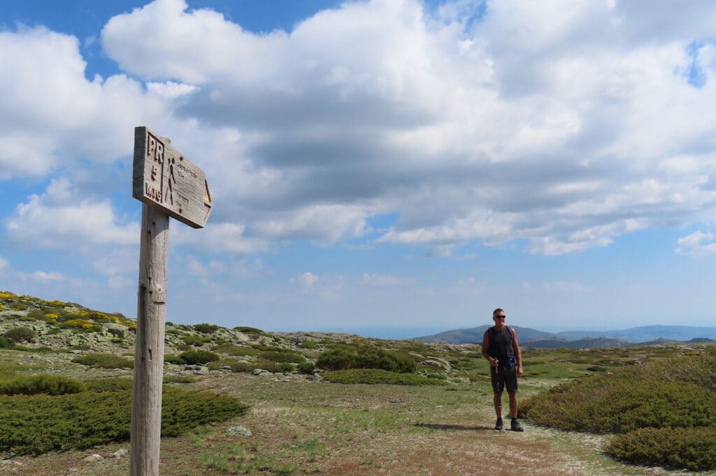
A short hike down to Lagoa do Peixoa
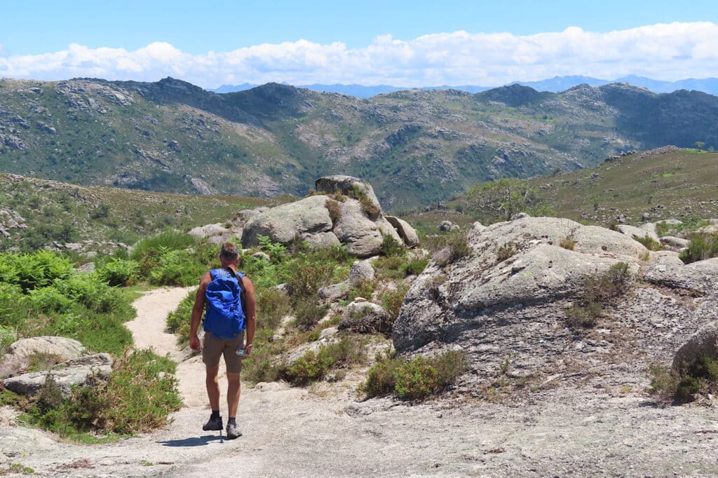
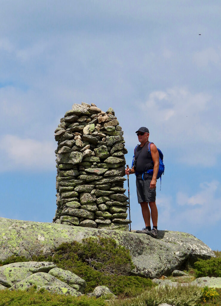
Anxious to get out hiking, we drove along to a parking pullout near the KM 8 milepost. Our goal today was walk down to Lagoa do Peixoa (Lake of the Fish). Yellow broom (aka gorse) and pink heather bloomed in profusion. A Eurasian skylark serenaded us as we began our descent through chunky boulders and patches of late spring snow.

Sitting on a rock above the lake we listened to a Common Chaffinch and Eurasian Wren singing as we had a snack. Scrambling back up the slope, we set out to explore the plateau.
Although the area looked extensively grazed, we didn’t see any flocks of sheep. We did come across an old stone-fenced corral before heading across to the highway and down across the other side to what we thought was a shepherd’s hut.
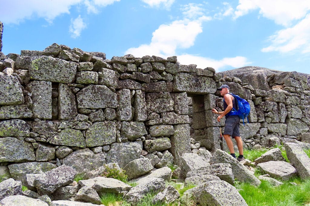
Climbing back up to the car, we completed our loop – almost 7 km (4.3 mi) – with time left for sheep’s milk cheese tasting in the shops at Torre. Queijo da Serra is a local specialty worth checking out!
Alvão Natural Park
As we drove up to Vila Real – about an hour west of Vila Nova de Foz Coa along grapevine-covered slopes above the Douro River – we found it hard to imagine what the smallest (7,202 ha/ ac) natural park was going to look like.
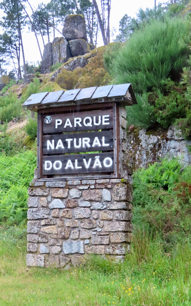
Turns out fog and rain made us use our imaginations more than we thought possible as we entered the mist-shrouded forests of Alvão Natural Park! The drive was atmospheric, but hiking became nothing more than a short stroll up the closed road due to construction at the trailhead.
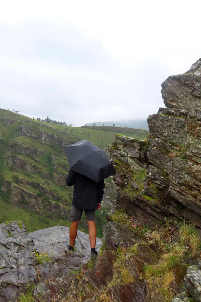
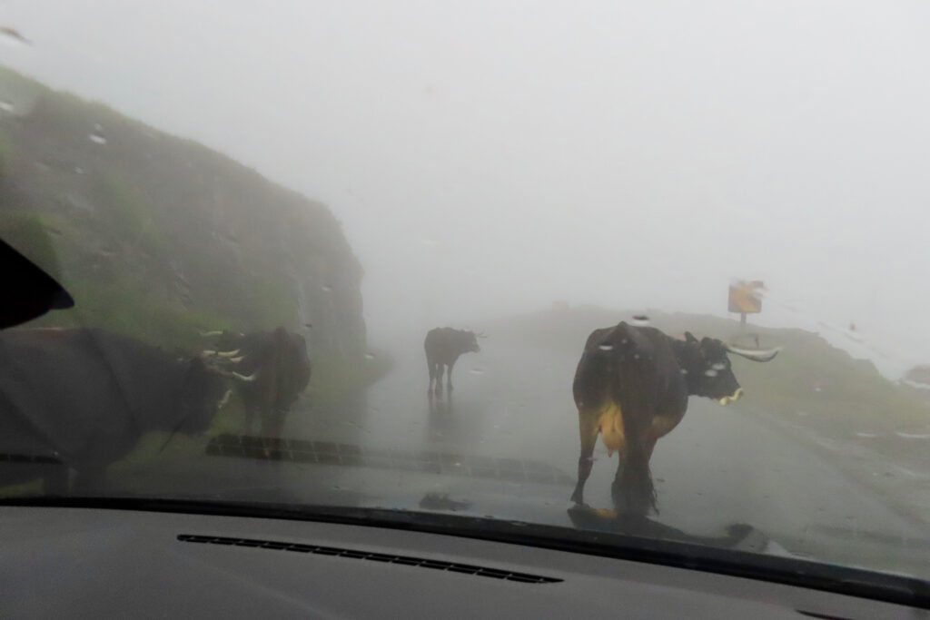
The drive through towards the village of Ermelo and past back down to Vila Real was probably quite scenic as well – but we couldn’t see more than the goatherders and his dogs taking the livestock back downhill on the road before nightfall.
Peneda-Gerês National Park
The 700 sq km (270 sq mi) Parque Nacional Peneda-Gerês lies in the north of Portugal along the border with Spain. Established in 1971, Peneda-Gerês is the only protected area in Portugal that has been classified as a national park. It was created for its national and international scientific interests – with the aim to protect the landscape and human and natural resources.
It might not sound like a big park, but it is mountainous. The park can be divided into 4 main regions – each one with its own entrance gateway: 1) the northwestern corner accessed via Lama de Mouro, 2) the western region accessed via Mezio, 3) the popular southern section accessed through Campo de Gerês, and 4) the eastern region accessed through Montalegre.
Choose one for a base; seeing all of them will take some serious planning and time. We chose the western region near Soajo for its hiking and human history and because we could also explore a little of the northwestern corner region in a long day.
Soajo and its famous espigueiros
Where is Soajo and what are espigueiros?
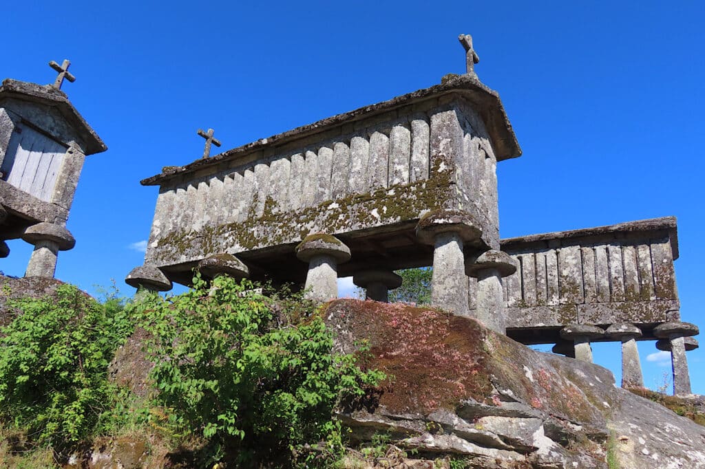
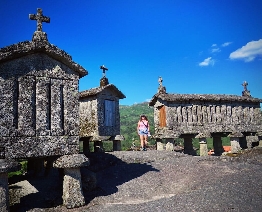
Soajo is a village in the north of Portugal, about 123 km northwest of Porto. Besides being a gateway for Peneda-GerêsPark, it’s famous for its granite granaries rising above the ground.
Espigueiros originated from the word meaning “spikes” in Portuguese. These stone buildings – used to dry and protect food crops – are built up off the ground on pillars (or spikes). They are often mistaken for graves or other religious buildings, but espigueiros are simply raised storage containers made of stone.
That being said, espigueiros are extremely photogenic – and are one of the reasons we choose this part of the park to explore.
After settling into our accommodations, we head back down to town. Parking near the statue celebrating 500 years of town history, we wander the narrow streets. Unfortunately, the interpretive centre is now closed for the day, but narrow cobblestone streets and charismatic dark gray stone houses capture our imaginations.
Before long we are at the foot of the low rise that is home to close dozens of stone masterpieces – espigueiros – dating back to 1700s. Colour me impressed!
Day two, hike one!
We set out early with a packed lunch in our soft-sided cooler.
Destination?
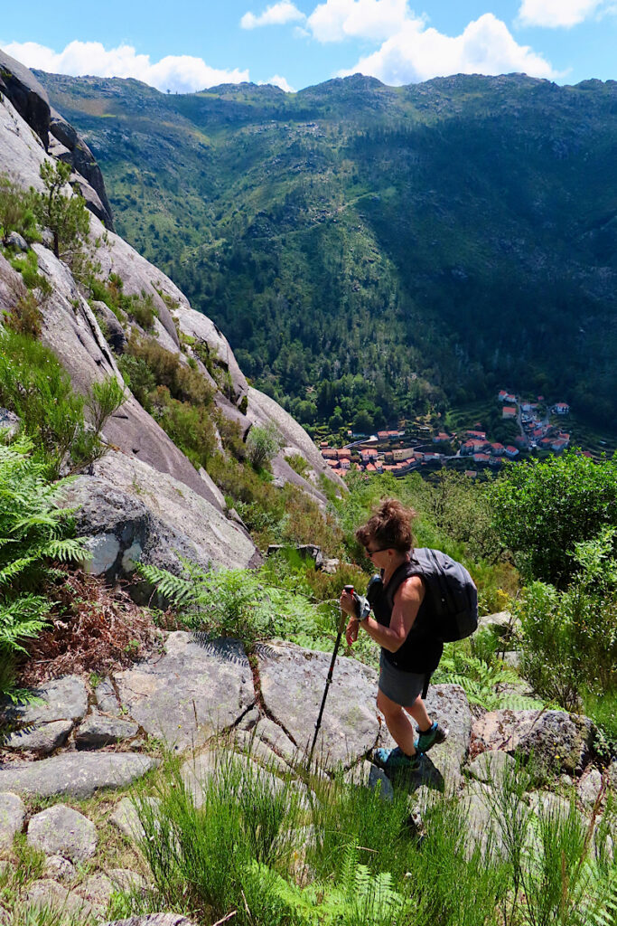
Nossa da Senhora Peneda Sanctuary and what turned out to be a 10.5 km (6.5 mi) loop on the Peneda trail heading up to historic summer sheep pastures and coming down on an old stone road on the opposite side of the rocky face of Penedo da Meadinha.
The trail heads out behind the chapel and climbs steadily past a rock-climbing area before levelling off somewhat at the meadows and a lake formed by a small dam. We stopped partway up when movement on the cliff above caught our attention.
Iberian wild goats!
Hauling out the binoculars, we watched them for a bit and then again with another couple of hikers from Aveiro who came up the trail behind us. Pretty soon we were learning more about the wealth of hiking trails in the vicinity. The couple, along with their trusty little dog, Brownie, were doing 20 km (12.4 mi) days regularly. This was a down day!
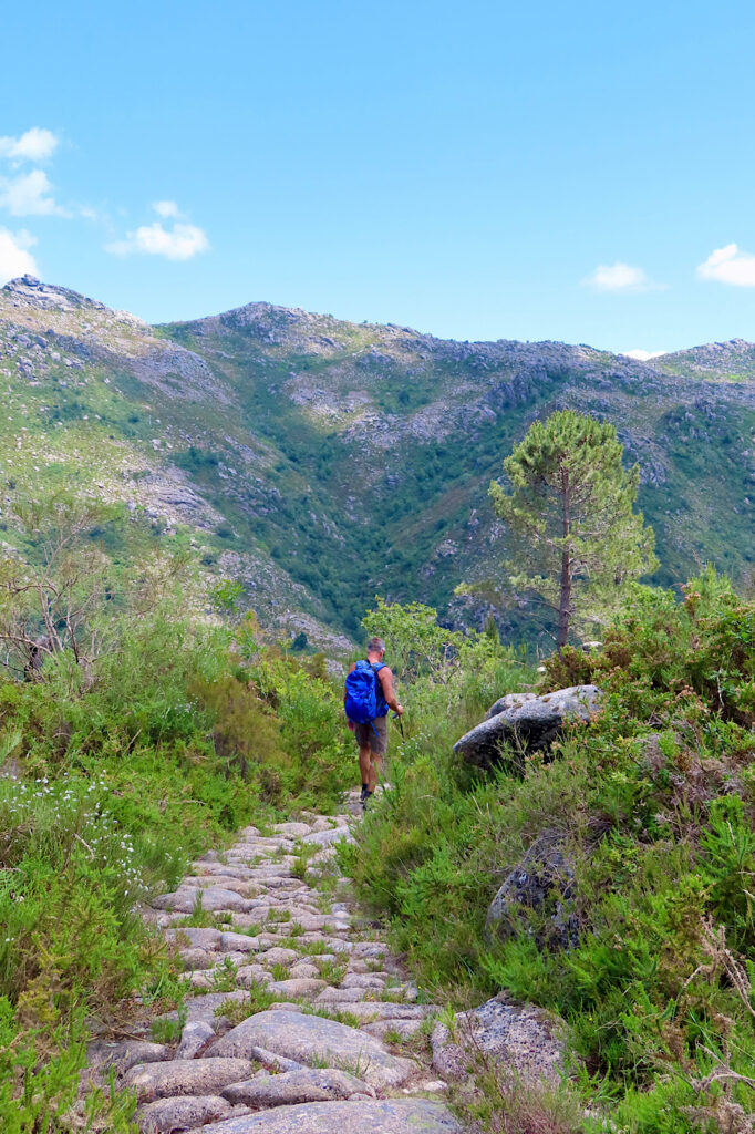
Parting ways, we continued up to the viewpoint overlooking the small village of Bouça dos Homens. Rather than descending down to the village and climbing back up, we take one of the side trails that skirted around without losing elevation. Up over the low pass, following the massive stone trail down, down, down to the road, we walked back along the pavement for the final 1.7 km (~ 1 mi) to our car.
Lunch was waiting in the car – along with the cold drinks… ahhhh!
Day two, hike two!
Refreshed and recharged, we continued up the road, stopping in Lamas de Mouro to check out the visitor centre and just-opened campground before continuing around to Castro Laboreiro for a 2nd – much shorter hike.
The Castro Laboreiro trail is a short 1.6 km (1 mi) long loop trail climbs up to the ruins of a 16th century castle – built in 1505 on top of the remains of a 12th century Moorish castle! – but it’s the view of the park around that has our jaws dropping.
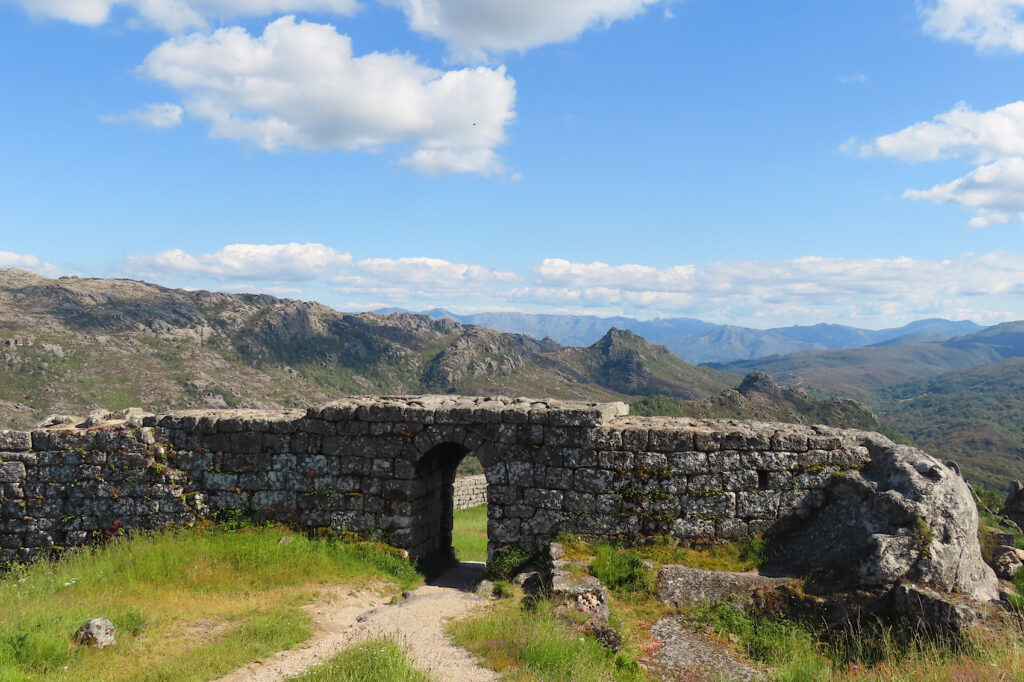
Waterfalls and rockfaces, trails and villages… it begs the question as to why we didn’t plan to spend more time in this area!
Hindsight is always 20/20.

Serras de Aire e Candeeiros Natural Park
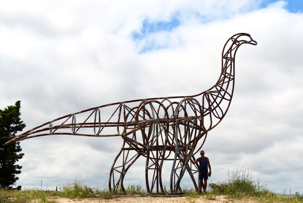
Parque Natural das Serras de Aire e Candeeiros is renowned for its grottoes – hidden from view. But we didn’t come for the caves, we came for the dinosaurs and for the culture of high plateau communal pastures with endless stone fences and long-abandoned windmills.
First stop – Monumento Natural das Pegadas dos Dinossáurios on the eastern corner of the park, close to Fatima in the village of Barrio.
A monument within the park dedicated to dinosaur tracks?
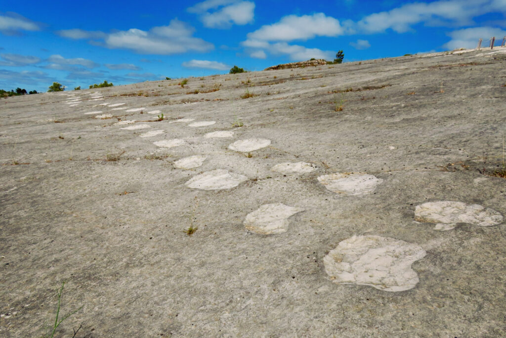
Yes, but these are no ordinary tracks. These sauropod trackways date back 175 million years and are among the longest in the world. The longest of the trackways stretches 147 m (482 ft) across the exposed rock surface.
We stop in at the visitor centre and watch the excellent introductory film (English subtitles) before checking out the displays. Time is running short and we need to get out on 1.9 km loop trail (1.2 mi) to check out these monster tracks for ourselves.
It’s a short steep climb up the gravel path to a route above the stone quarry where the tracks were first discovered in 1994. Interpretive signs and glimpses out over the quarry peak interest. Before long the trail descends to the wooden boardwalk that meanders through the trackways.
Hiking in the park
The following morning, we drive up to a trailhead for a hike around Fornea – Europe’s largest natural amphitheatre. It’s a roughly 10 km (6.2 mi) loop, waiting patiently for our arrival. No one else in the parking lot. Heading out in a clockwise direction, we follow the PR4 trail signs up over, around and down to the access for the seasonal waterfall (not flowing while we were there mid-June).
After a pick-me-up espresso in a little café, we head back to the trail and follow it through the olive groves and fields of wildflowers before it climbs back up to the plateau and the sea of stone-fenced pastures. Windmills – long retired – sit like watchmen on high ground. A few cattle can be seen.
By the end, we pass a total of 6 other hikers on the circuit. This may one of the best-kept secret hikes we’ve stumbled across yet!
Sintra-Cascais Natural Park
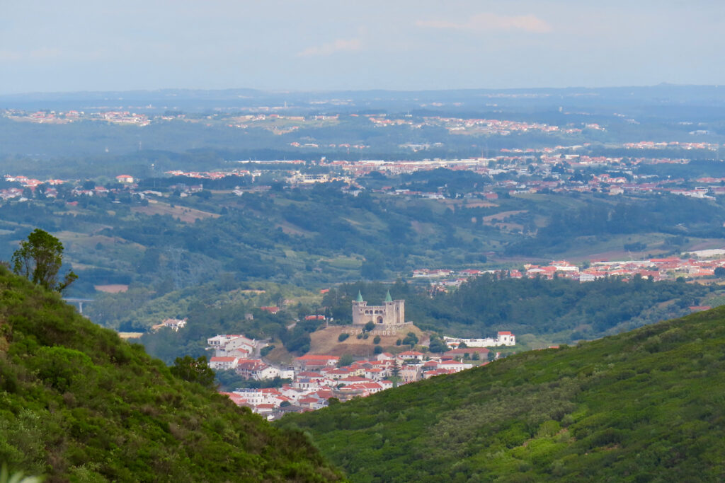
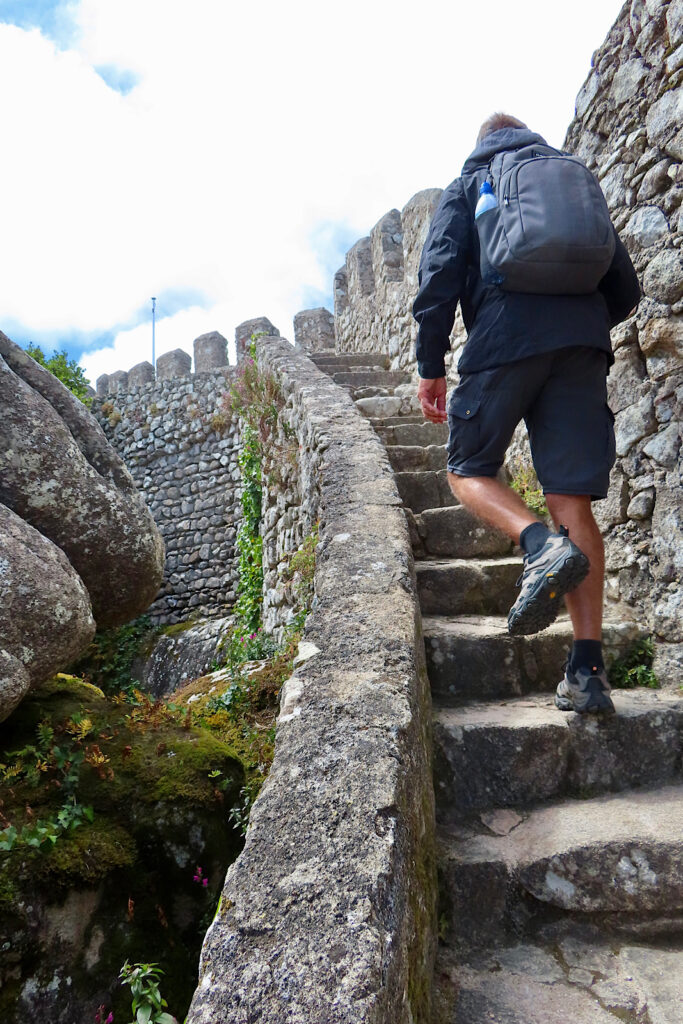
From the quiet of the countryside to Sintra-Cascais – a monumentally-attractive but equally popular natural park. Truth be told, it’s much more about architecture and history in Sintra than natural park. But there is a wonderful walk up from town to the entrance of the Moorish Castle (Castelo dos Mouros) that climbs through the estate gardens of Vila Sassetti.
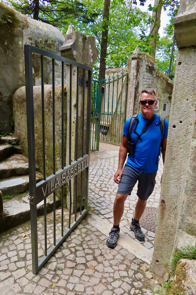
To access this footpath, walk along the road through Vila Sintra up as it curves around towards the National Palace. At the stoplight before the palace, turn left and take the little stairway that leads to a narrow passageway between the buildings. After a short bit winding upwards you’ll come to another road. Turn right and then almost immediately bear left up to the entrance gate for Vila Sassetti. The path is easy to follow from here on.
If this seems too complicated, check AllTrails. Gear guru found the route on the app.
Europe Summer Promo: Get 50% off AllTrails+ (Europe only)
It’s a reprieve from the busyness of the monuments up through the wooded hillside. Flowers bloom and you can breathe – until you reach the road and Moorish castle parking lot at the top, where you meet the crowds once again.
We had 4 hours of paid parking. After getting our bearings and deciding on the best route, we made it up to the castle, enjoying the views, taking photos, and grabbing a snack before meandering back down the trail to our rental car with 10 minutes to spare.
Love historic travel adventures? Check out our post on Roman Ruins in Conimbriga, Portugal.
Hiking Cabo do Roca to Praia Ursa
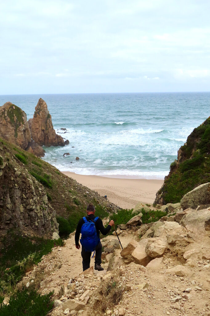
You want to start at Cabo do Roca lighthouse for this hike – it’s the westernmost point in Europe. We arrived about 8:45 am. A few cars and one tour bus sat in the near empty parking lot.
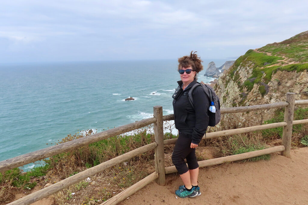
The rolling hills were covered in Hottentot (ice plant) and Artichoke thistle in full bloom. A few other hikers wandered ahead of us in the distance. Beach and rugged views demanded pictures before we began the short but steep hike – there’s even an old, knotted rope for assist down a short section of rocks if you need it in one section – to the beach.
We had it to ourselves as a group left just as we arrived – giving us time to enjoy this beauty by ourselves. Brushing sand off our feet to put our shoes back on, I look over to a large group of about 16 men and women that have just come down. One woman is taking off her clothes. And then another does, and another… and…
They help each other don sheer red robes – and it’s time to leave!
Think it might have been a solstice ceremony of some kind. The guidebook did mention that nudists enjoy this beach in summer. Didn’t think to tell B that before we arrived!
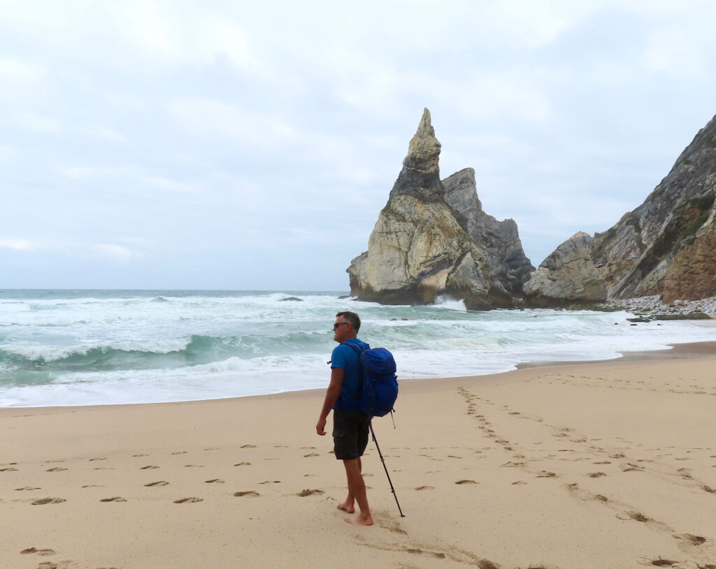
The total hike was only 4.5 km (2.8 mi) return – bring your bathing suit… or not 😉
Tips for planning your hiking adventures in northern Portugal’s parks
Be sure to read our next post with reviews of accommodations and our suggestions on where to stay while hiking Portugal’s northern parks.
Distances don’t seem long, but it will take more time than you think to get there. The roads start out narrow, get even more narrow, and wind through towns and farmyards and forests in a leisurely fashion.
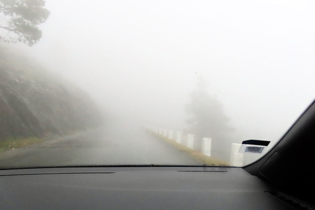
Note that locals drive the speed limit and beyond regardless of the weather, but rental car drivers might want to relax and take their time!
Walking in northern Portugal involves a bit of route-finding at times, but people are friendly and more than willing to help. We picked up a SIM card at the airport for 25 Euros and had more data than we could use in 25 days for AllTrails and other route-finding apps.
We packed a collapsible cooler – indispensable for longer adventure days. Although we brought cold weather gear, we never used any of it. Temperatures in June were warm to hot.
Be sure to check our hiking journal on Etsy – it includes a detailed daily hiking tracker page, a log page for recording favourite hikes, a page for listing must-do hikes on your bucket list, a checklist of hiking gear to pack, and a perpetual calendar for recording all of your hiking days each month throughout the year.
And If you love everything about hiking – all around the world – you might also enjoy these posts:
- Exploring Northern Spain: Hiking Urkiola
- Exploring Northern Spain: Fuente De
- Exploring Northern Spain: Cares Gorge
- Picos de Europa: Spain’s First National Park
- Exploring the Past at Mount Robson Provincial Park
- Hiking in Tombstone Territorial Park, Yukon Canada
- Backpacking in the Yukon: Bock’s Lake
- Hiking the Chilkoot Trail: Dyea to Lindeman Lake Section
- Hiking in Northern Portugal
- Hiking Adventure in St. John’s NL
- Even More Amazing Hiking in Organ Pipe | Arizona

So awesome! What incredible views!
🙂