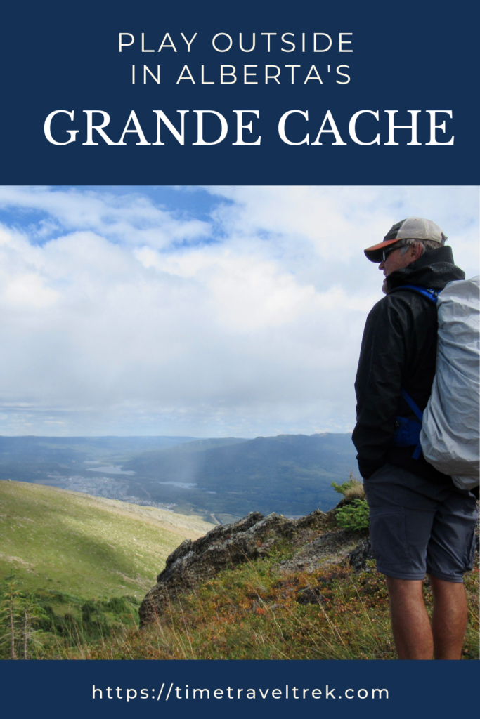
Mountains and foothills, biking and quads, friendship and history – that’s what we discovered in Grande Cache. Read on for the inside scoop of what to see and do in this northern Alberta town… er… hamlet. Not the Hamlet that questions “to be or not to be” – because this tiny town knows that it will always be alive with endless potential.
Disclosure: This post contains Affiliate links.
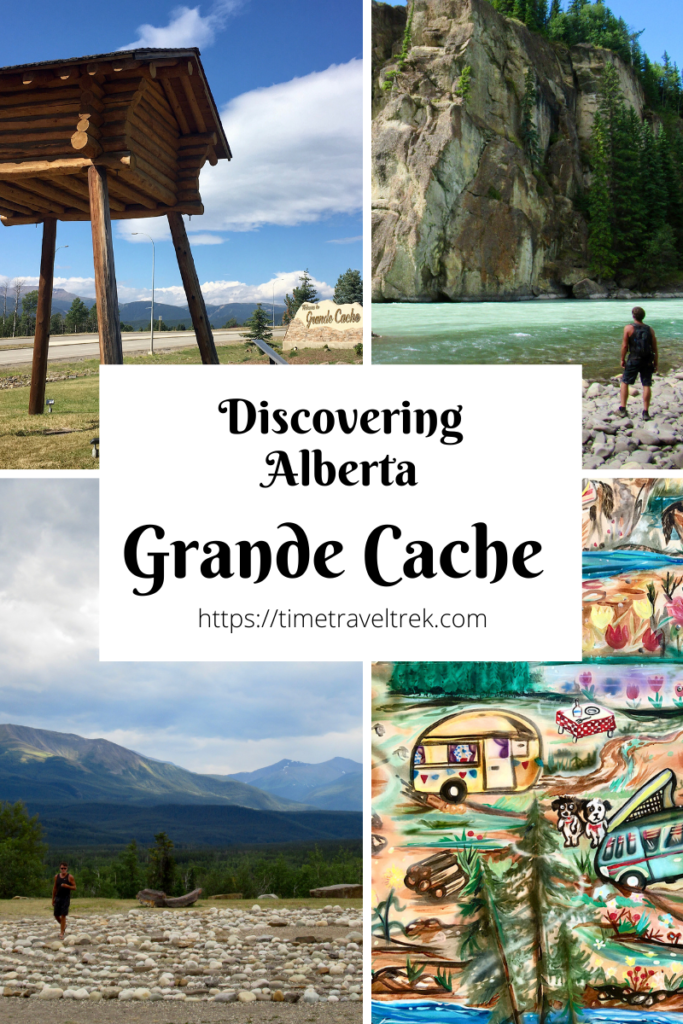
Table of Contents
What & Where is Grande Cache?
Grande Cache sits in the foothills of Canada’s Rocky Mountains – about 183 kilometres south of Grande Prairie or 143 kilometres north of Hinton, Alberta. The hamlet got its name from a Hudson’s Bay Company fur trader. Ignace Giasson built the namesake cache – a small, secure cabin on raised stilts to secure food, fur and trapping supplies – for a bunch of fur pelts one winter in the early 1800s.

Geologists discovered high-grade coal in the area in the 1950s. A coal mine opened in 1969 and the new town of Grande Cache was built. A sawmill and correctional institute have replaced currently closed coal mines as major employers. In 2019, the town of Grande Cache became a hamlet in the MD of Greenview. Times are tough, but tourism opportunities abound for those who enjoy unique adventures.
Winding Down
In the spirit of unique adventures, we left Tumbler Ridge and set up camp in Grande Cache. After spending an hour soaking up the indoor and outdoor displays at the excellent Visitor Information Center, we headed off to investigate Labyrinth Park. Walking the stone circle, we soaked up the scenery of the Willmore Wilderness Park and immediately found peace in our surroundings.

Reconnecting
In a zen moment, I had an urge to message a friend and let her know we were in her old stomping grounds. She moved away for work, but still owns a home here. It’s for sale, btw! Let me know if you’re interested 😉
As fate would have it, she was on her way back to check up on the homestead. We ended up camping together for a night – two tiny trailers side by side – and getting the inside scoop on what to see and do in Grande Cache.

Heading Out to Sulphur Gates
Must do: Sulphur Gates.
What are they?
Sulphur Gates are part of the Cadomin Formation. This geological formation is important to geologists because it indicates the presence of coal, but for most visitors the formation is interesting because of the views it offers.
Where are they?
You can drive approximately 7 km south along the Sulphur Gates road off Highway 40 to the parking area – it’s also a staging area for equestrian users and backpackers heading into the adjacent Willmore Wilderness Park. From the parking lot, it’s a short couple hundred metre stroll to the lookout. Sheer 75-metre high cliffs overlook the confluence of the Smoky and Sulphur River.

A Different Viewpoint
We opted to hop on our mountain bikes and take a series of quad/hiking/biking trails down to the river confluence on the opposite side from the lookout. Quad trails do not make great mountain biking trails. We ended up ditching our bikes before the last big hill and walking the final kilometre or so to the river. While I wouldn’t recommend biking this route, the hike is totally worth the vantage point.

Passport to the Peaks
There are 21 peaks all visible from the Grande Cache townsite. Clever tourism folk came up with a cool way to promote hiking to their summits – a ‘passport’ with embossing stamps left in marked boxes on the peak. The peaks are rated bronze, silver and gold – depending on level of difficulty in reaching the summit.
Check out MEC for hiking boots!
Bronze mountains are daytrips. Silver mountains are multiday adventures or summits that require more advanced route-finding skills or involve river crossings. Gold mountains are remote, undeveloped and challenging. You can find out more information at www.passporttothepeaks.ca.

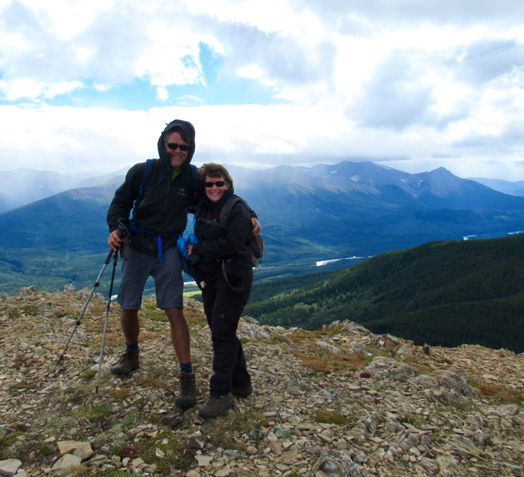
Hiking Mount Stearn
We didn’t have time for 21 peaks, so we opted for an easier Bronze peak that stands prominently against the skyline when looking westward from town – Mount Stearn. It’s a relatively steep 1,000-metre climb in just over 7.5 kilometres. The trail slogs up and up and up through pine and aspen woods. The grade moderates a bit through thicker spruce and subalpine fir forests before it plateaus out in lush meadows. From here it’s a joyous romp – key “Sound of Music” – up to the summit. Warning: watch out for the wind! It howled on the last leg of our ascent.
Taking a Trip Back in Time
Our friend took us out of town towards Pierre Grey’s Lakes Provincial Park. On the drive out, she pulled over near the tiny Muskeg River Graveyard on the righthand side of the highway just past the Muskeg River bridge. I’d mentioned the interpretive display outside the visitor centre that talked about “spirit houses” – and here they were.

Spirit Houses
Covered graves with roofs, carved fronts and fences exist in coastal native communities. Over time the tradition migrated inland and spirit houses became a custom in the Grande Cache area. They are a simple and beautiful monument to lives from the past; lives of the Mountain Métis.
The Mountain Métis
In the early 1800s, North West Company employee Jacco Findlay moved his family to the Athabasca Valley near Jasper, Alberta. Jacco was a member of a group of people now known as the Mountain Metis. From 1906-1910, Mountain Metis families were evicted from the newly established Jasper National Park. Many relocated to the Grande Cache area. You can find more information about the Mountain Metis on their website.

Pierre Grey’s Provincial Park
Pierre Gris was a Métis fur trader born in 1846 in Lac Ste Anne. Officials wrote his name as Grey’s not Gris numerous times over the years. Thus we have Pierre Grey’s Provincial Park today. Pierre ran a trading post on the beautiful lakes now contained within this park. He spent winters trading here for marten, beaver, lynx, wolf, coyote and wolverine furs. Between 1886 and 1895 – working only part of the year – he made over $3000. That’s over $85,000 in today currency. Not much remains of his trading post – three buildings locations and a couple of graves. The site is a provincial historic site.

The park’s lakes were busy with anglers and kayakers. Campers filled campsites. Birds twittered and we sighed as we lifted ourselves off our lakeside picnic spot to head home. Our time in Grande Cache was over but we know we’ll be back. There are still countless waterfalls to see, trails to hike – and then there are those dinosaur tracks (according to staff in the Visitor Centre they are slowly working on a plan to get public access and interpretation at the site in the next five years).

To be or not to be… we will be. Back, that is 😉
Additional Resources
- Pick up a copy of Grande Cache Adventure Guide (good overview of things to see and do) and a Grande Cache Area Trails & Adventure Map (big picture of area) from the Tourist Information Centre. For more general information, visit http://www.grandecache.ca.
- You can find camping at the Smoky River South Recreation Area. Full-service RV sites are available in town at the Grande Cache Municipal Campground.

Like this post? Feel Free to Pin it to Share!
Leave a Reply