This Arizona trip itinerary involves 3 days of camping and outdoor adventures – biking, hiking, and paddling – in and around Cattail Cove State Park. Located along Arizona’s “West Coast”, Cattail Cove is only 3 hours from Phoenix. This hidden gem of a park is the perfect camp for your next RV adventure.
Disclosure: This post contains affiliate links. If you buy something from one of our affiliates, we receive a small commission at no extra charge to you. Thanks for helping to keep our blog up and running!
Table of Contents
Why spend 3 days at Cattail Cove State Park?
Hiking, biking, paddling – why wouldn’t you want to spend 3 days camping at Cattail Cove State Park on the shores of Lake Havasu in western Arizona?
The park is situated along the Colorado River on the border of California and Arizona in western Mohave County. It’s only 3 hours west of Phoenix or about 2 ½ hours south of Boulder City, Nevada (near Las Vegas).
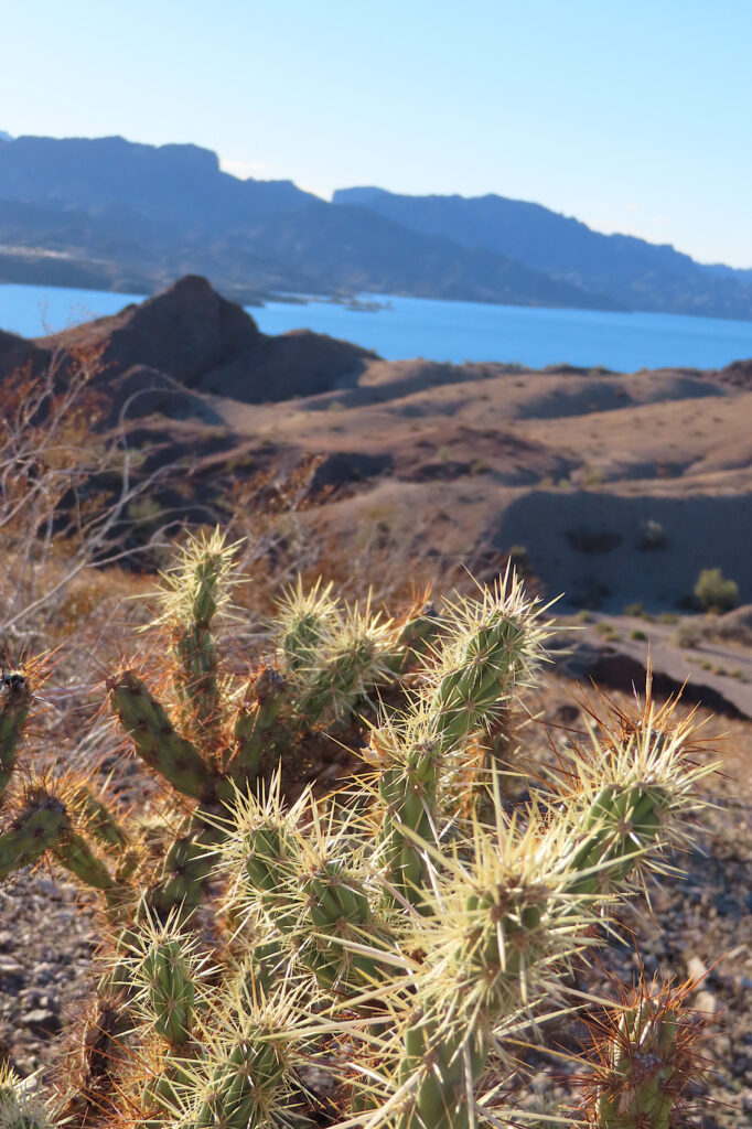
But while it may be close to these cosmopolitan centers, Cattail Cove State Park is a world away in experience. Set up a quiet and cozy basecamp in a reserved site (water and electricity provided). When you’re ready, head out and get a feel for the lay of the land by hiking the park’s trails.
Explore nearby SARA Park by mountain bike. Or if paved trails are more your thing, head into Lake Havasu City and enjoy a flat, relaxing ride on the 3.6-mile (5.8 km) Island Loop trail across the London Bridge. You could also stretch out the distance on the 8.5-mile (13.7 km) paved trail paralleling AZ Hwy 95 through town.
If you’ve come to Arizona’s “West Coast” for the water, you’ll want to dip your paddle into the waters of Lake Havasu. Birders will want to paddle the bird-filled marshes of Bill Williams Wildlife Refuge.
Wondering when to go and exactly how to get to these areas? Read on!
Day 1: Camp at Cattail Cove and explore the trails
Summers and long weekends are always busy in this neck of the woods for obvious reasons. But more and more people are also discovering this little pocket of paradise in the shoulder seasons. There are 61 campsites and un-reserved sites are sold on a first-come, first-served basis. We always book ahead of time.
Tucked down off Arizona SR 95 (about 19 mi/ km south of Lake Havasu City or 8 mi/ km north of Parker Strip), Cattail Cove is a mini oasis. It can be surprisingly full in January and February. Some people are attracted to the area for its power boat launch and access to Lake Havasu. For us it’s always about the self-propelled adventures – like hiking.

Pick up a copy of our Hiking Journal in TimeTravelTrek’s Etsy Printables Shop!
Hiking in Cattail Cove State Park
There are 6 short trails in the park, but you can easily link them up for a somewhat longer wander. Arriving and set up by 4 pm, we immediately headed out for a 3.3 mile (5.3 km) loop hike. We completed the trek just as sun disappeared behind mountains an hour and a half later.
Our route took us up Wayne’s Way trail from the trailhead kiosk. It’s well marked with carefully placed stones in the wash. There were a few small dry falls to navigate down the backside of Ripley’s Run. We came back across Ted’s Trail to the junction with Wayne’s Way trail. From here it’s a short jaunt down McKinley loop trail to our starting point and then back to the campsite.
Most of the route was rated moderate to difficult, but there are easier trails (e.g. Whytes Retreat) to walk. Trail maps can be found at the main trailhead or online.
Exploring Cattail Cove’s dark skies
Evenings are perfect for wandering out on the dock to gaze up at the star-studded night sky. If you’re lucky enough to be visiting March 1st, May 17th, or October 18th in 2025, the Havasu Astronomy Club are bringing their telescopes for a couple star parties.
Love looking at Arizona’s night sky?
Don’t miss reading Camping Adventures: Exploring Arizona’s Dark Skies
Day 2: Bike in SARA Park
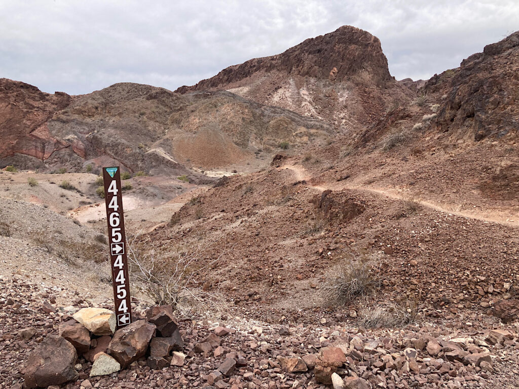
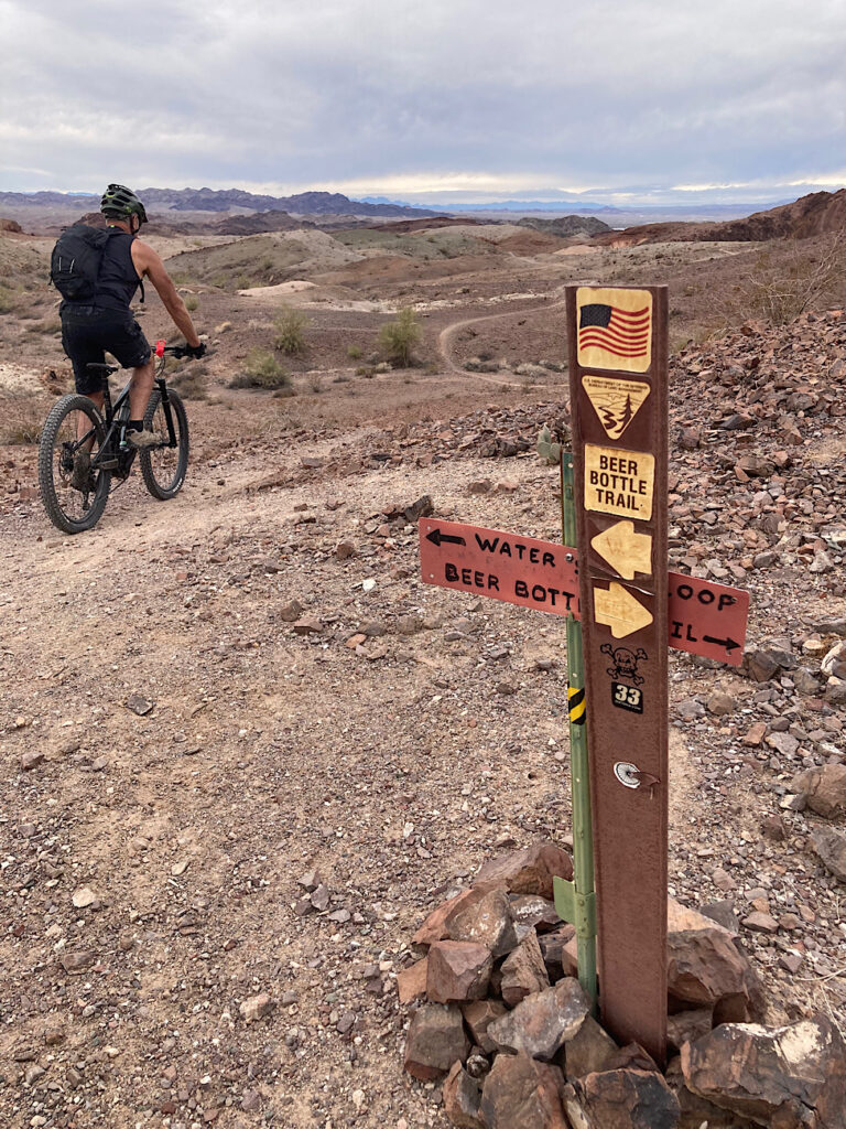
The second day always involves a mountain bike ride in SARA (Special Activities and Recreation Area) Park. There are over 65 biking trails to choose from with varying degrees of difficulty. You could spend multiple days exploring the area.

We’ve done shorter rides by connecting various trails out of the parking lots on the Dub Campbell Parkway but always come back for Watershed Loop. This 8.7-mile (14 km), undulating ride is a perennial favorite.
On this trip we cranked up the distance to 13.3 miles (21.4 km) in total by adding a side ride up Mom and Pops – narrow and blue – to access the Watts Up loop before finishing Watershed.
It should be noted that even though the rating for Watershed Loop is green, there are a couple of short, challenging sections along the way.
Day 3: Bill Williams National Wildlife Refuge
Only 8 miles (12.9 km) south of the campground between mile marker 160 and 161 off AZ Hwy 95, the Bill Williams National Wildlife Refuge is the perfect day trip for paddlers.
We arrived early in the morning and spent ½ an hour wandering through the visitor center (open Monday to Friday from 8 am – 4 pm) and walking the interpretive path. The short path leading to the fishing docks is a good place to see Abert’s towhee and verdin.
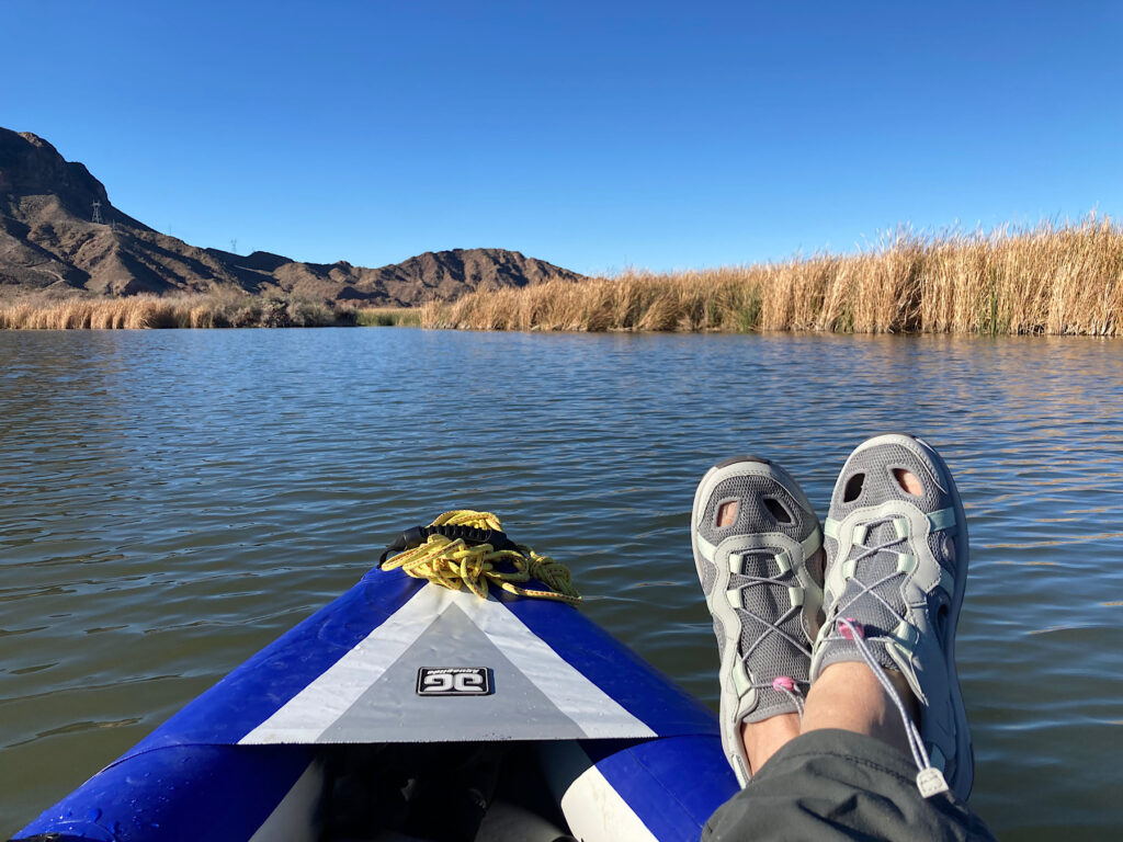
Heading down to the boat launch, we unloaded the kayak and gear. No wind on the lake at this point, making it perfect for birdwatching while we paddled.
Whether you are a birder – beginner or advanced – the refuge is one of Arizona’s Important Bird Areas (IBA). According to the AZ IBA website, it is “one of the last extensive naturally flood-generated riparian and wetlands habitat on the Lower Colorado River.”
Bill Williams NWR “provides breeding habitat for 25 species of conservation concern in Arizona… including federally listed endangered and threatened species such as the southwestern willow flycatcher and Yuma Ridgway’s rail.” You can find a complete checklist of bird species found in the refuge online at eBird.
Kayaking Bill Williams River channel
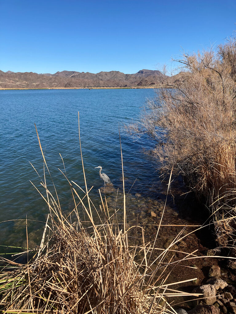
We paddled over towards the Bill Williams River channel, under the highway bridge to the end of the navigable waterway. Herons flew off as we approached. Great egrets perched on branches hanging over the water. Grebes scurried ahead to stay in the lead. Marsh wrens called from the reeds.
Did you know? The river was named after Bill Williams – trapper, trader, interpreter, scout and missionary. He traveled through much of present-day Arizona in the early 1800s.
Dipping into side channels, we tried to paddle up a little further, but it quickly became choked with vegetation. Heading back, the wind began to puff. By the time we reached the lake it was gusting enough that all attempts at birdwatching were abandoned as we dug in to paddle back to the boat launch. Another fun – if slightly breezy – day’s adventure!

When you go to Cattail Cove State Park
Like to investigate more hiking in the area? Ditch the bike for a day and check out the Crack or Lizard Peak in SARA Park.
Want to spend more time on the water? Launch your kayak right from the park and paddle the shoreline, or head down below Parker Dam for a river paddle on the Colorado.
For more information on things to do in and around Lake Havasu City, visit Go Lake Havasu.
Looking for more Arizona adventures? Check our post on 25 Must-Do Arizona Bucket List Adventures in 2025.
Love exploring Arizona’s lakes? Check out Alamo Lake State Park for your next RV adventure!
Want more information about Arizona’s state parks? Read our post entitled: Arizona State Parks by the Numbers.
New to camping? Follow our step-by-step guide on how to plan an RV trip.
And finally, is you want to remember your stay at Cattail Cove State Park – or elsewhere – read our posts on Capturing Your RV Adventures: The Ultimate Guide to Journaling Your Road Trips and How a Digital RV Travel Planner Goes Everywhere I Do!
Leave a Reply