Explore off-the-beaten path Arizona and check out Alamo Lake State Park. There’s camping, fishing, hiking, and stellar sunsets quietly waiting for you!
Disclosure: This post contains affiliate links. If you buy something from one of our affiliates, we receive a small commission at no extra charge to you. Thanks for helping to keep our blog up and running!
Table of Contents
First impressions of Alamo Lake State Park
We headed out west from Wickenburg on Hwy 60, turning north onto Alamo Road. The narrow, paved road winds through the Harcuvar Mountains, across Butler Valley and left of Black Butte. As you head down to the park, the Rawhide Mountains Wilderness area with its scenic reddish peaks pop up to the northwest.
The names and the vistas are pure Louis L’Amour. Ground cover is sparse, but there are a few saguaros along with lots of mesquite and patches of cholla. I’m looking for the tumbleweed and the cowboy hunched over the saddle as the wind kicks up a puff of dust. It’s such a different habitat compared to the lush desert around Tucson.
Alamo Lake is the headwaters of the Bill Williams River – which enters Lake Havasu and the Colorado River near Cattail Cove State Park. The Alamo Dam Project was completed in the late 1960s, and the Army Corps of Engineers constructed the campground and other recreational features.
A chorus of red-winged blackbirds greeted us on arrival. Yes, wetland birds in the desert thanks to the reservoir. The lake is a popular bass fishing destination for many, but we’re here to check out the hiking. Let the adventures begin.

Keep track of your Arizona state park
visits with a printable journal from TimeTravelTrek’s Etsy Shop.
Camping at Alamo Lake
The campground was surprisingly busy on arrival. We hadn’t booked ahead but managed to get a water/electric site for one night and another nearby site for two additional nights.
“Not snake season quite yet,” the campground staff member adds as he walks us through the park map and layout.
Whew!
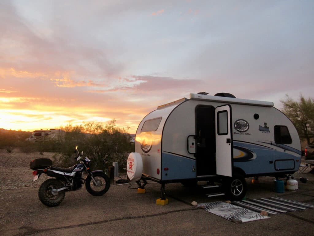
Pulling into our site, we see a lot of big rigs. A few are obviously anglers with boats in tow, but the majority seem to be retirees with ATVs. As we settle in for the night the birds fly off to roost and the stars come out to shine.
Exploring in and around the park
In the morning, we move to our new site down Cholla Road – the cost to pay for not reserving ahead of time is that you often end up moving sites throughout the course of your stay – set up and offload the motorbike for a tour of the park and area.
We check out central area with Ranger office and a couple small camping areas. The ramada sites are very small and packed in. The cabins are cute and there’s a short hiking trail off of the cabin loop that is worth a stroll.
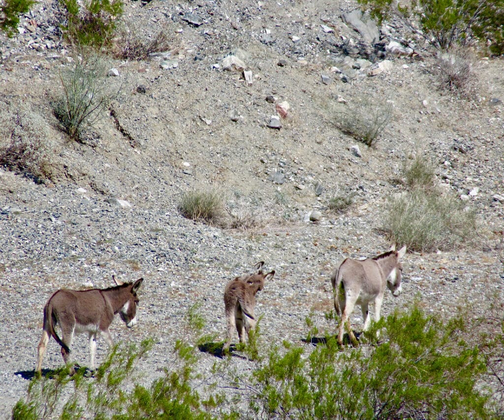
Then we headed up to dam overlook where we chatted with couple from Michigan while watching a lone black burro sleeping standing up on a hillside down by the lake.
As we explore, we note lots of creosote bush, cholla, hedgehog cactus, Paulo Verde, a few saguaros on rocky ground throughout park, and some invasive tamarisk down by lake.
Gone Wayside!
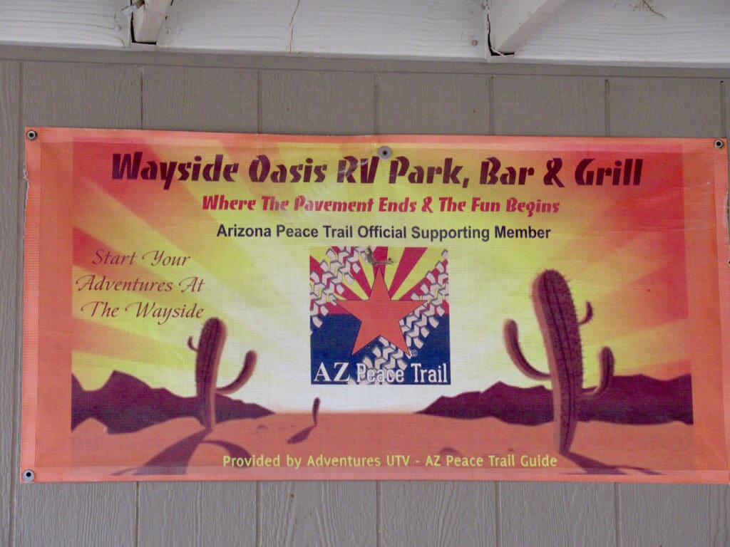
Heading back past the campsite road we continue onto Wayside Road (dirt/gravel) and the Wayside Oasis RV Park, Bar & Grill. Apparently it’s that side of Arizona. One fellow is dancing drunkenly to country music beside his RV while friends in a Razor ATV look on. It’s not even noon. We discover that there’s a Poker Run set for this weekend – which explains all the ATV activity everywhere.
The RV Park is kind of a surprise in the middle of a random camping desert kingdom. Washrooms and laundry are in a portable trailer outside the bar. Inside the bar – which offers standard breakfast fare and lunch bar food with burgers and such – deer heads on the wall have dollar bills stuck to their antlers. A pool table takes up a back wall.
A small store on opposite wall has hats and t-shirts and a random selection of junk food. Looks it might be a fun place to pull up a seat in a back corner and watch the action early on a weekend night.
Exploring the Alamo Wildlife Area
Continuing down Wickenberg Road right out of the RV Park, we turn right on Brown’s Crossing Road. We came across concrete slabs and the remains of a concrete and stone chimney at boundary of Alamo Wildlife area.
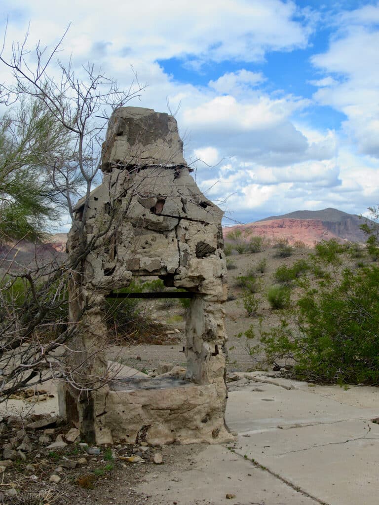
Following ATVs and a Jeep, we explored through a maze of OHV trails before put-putting our way back up towards camp as rain threatened. The sky clears for a spectacular sunset. We watch four Gambel’s Quail run willy nilly across desert under cotton candy-coloured clouds… ahhh!
Alamo Lake Hiking Adventures
Time to wander the hills above and below Bill Marshal Dam. We check in at the visitor centre for current rules, but today we’re told that it okay to walk past “no trespassing sign” and, keeping left, go down below the dam.
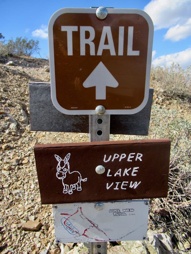
Parking at Rattlesnake Lookout Trailhead, we walk about 1000 ft (300 m) up the road to a “no vehicle access” sign. From here we head off on an old dirt road heading up hill, aiming for the communication towers in distance (just over ½ a mile or about 1 km). Spring flowers bloom. Burro tracks crisscross the landscape.
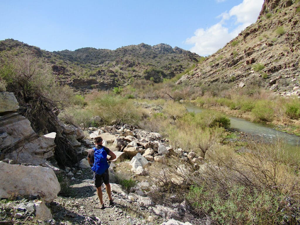
Dropping down from the towers, we follow another old road to a dry creek bed and out to the paved dam road. Keeping left – no pedestrians allowed on dam – we take the paved road down to bottom of dam and continue on the gravel section to its terminus at the river flow station. There’s good birding down here if you’re a birder – redhead, swallows, buffleheads and more.
It was a good couple hours of exploration before reaching the parking lot again. A short walk up to Rattlesnake Point on Wild Burro Trail gives a good overview of the main campgrounds.
Why should you go to Alamo Lake State Park?
Beyond fishing, the park is an excellent birding and wildlife watching location. It offers off-the-beaten path hiking adventures and a chance to experience another side of Arizona! The park is open year-round. For information on camping, visit the park website.

Want start checking off all of Arizona’s state parks? Check out this perfect checklist in TimeTravelTrek’s Etsy printables shop!
Leave a Reply